05 White or Black River
Clay County
About two miles below it, branches out White or Black River, it bears both names, the last by the English, ’tis navigable above 20 miles, some fay 30,…
The Route
The morning of February 2, 1766, John and William Bartram briefly explored the remains of Fort San Francisco de Pupo (Fort Pupo), located in present-day Clay County. In his journal, John refers to the remains of the fort as “Popa fort.” Later that day, they departed and sailed north down the St. Johns River to the mouth of what John recorded as “White or Black River, it bears both names.” His journal reflects the transition of empires. The Spanish called the waterway “Rio Blanco,” named for the pale, shell-encrusted limestone of its bed. Whereas the British and the Seminole Indians called it “Black Creek,” named for the dark, tannin-stained waters that flowed over those white rocks. Since that is the name today, we will continue to refer to it as “Black Creek.” John estimated the creek to be navigable for twenty to thirty miles, and that was fortunate because their destination, Caldwall’s Store, was about twenty miles from the mouth of the creek.
The Site
Site Address: 2231 Old Ferry Rd, Green Cove Springs, FL 32043
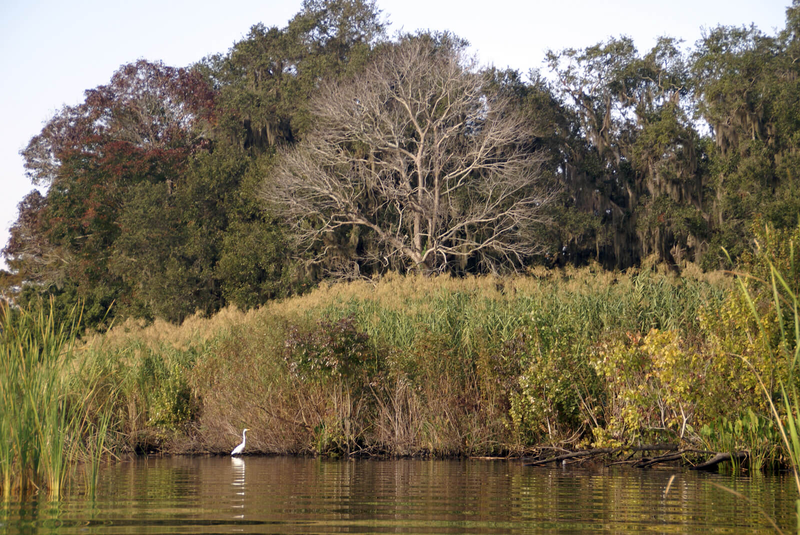
John Bartram observed that the Creek was about “100 yards wide and 3 fathom deep” and that its general course was to the west. Shortly after entering the creek, the Bartram Expedition landed and made camp, most likely on the south shore of Black Creek on a bluff near a spring. The following day, they proceeded up Black Creek to where the Creek branches to the south and the north, where Caldwall’s Store was situated. After checking in at the Store, the party decided to explore the south prong of the creek before returning to the Store for the night.
The following day was spent exploring the north branch of Black Creek and, again, the party lodged that night at the Store.
On February 5th, the Bartram Expedition departed Caldwall’s Store, navigating Black Creek downstream to the St. Johns River. Their destination was the east bank of the St. Johns, where they would lodge at Robert Davis’s plantation on Beauclerc Bluff.
Visitor Experience
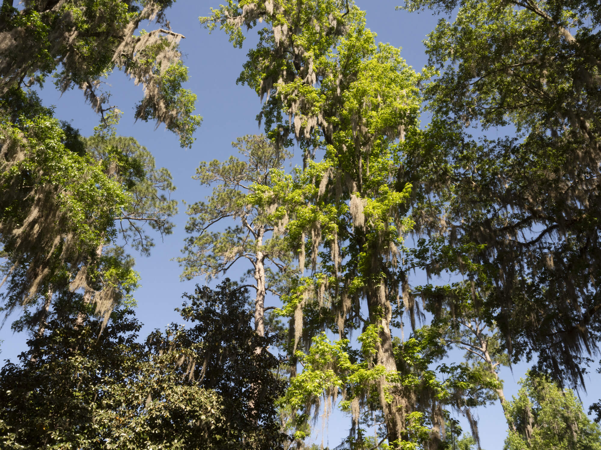
The Old Ferry Boat Ramp is tucked quietly along the banks of Black Creek. Just before the water splits among stands of Bald Cypress, this small, shaded spot offers a peaceful escape with an Old Florida charm. Locals frequent the area for boating, fishing, and paddling, making it a favorite rest stop for kayakers and canoeists.
Visitor Highlights:
- Single-lane concrete boat ramp: best suited for small boats; no dock for larger vessels
- Picnic area: shaded tables with scenic creek views
- Fishing: Limited shoreline access for casual anglers
- Portable toilet: Located near the entrance
Parking Info:
- Paved but limited
About 10 total spaces; fills quickly on nice days - Be aware of trailer/non-trailer designated parking
Designated spots for vehicles without trailers are located near the portable toilet.
Take note of the signage and select the correct area to ensure a smooth experience
Though unassuming, this quiet slice of Black Creek offers a serene launch point into nature with a touch of nostalgia—perfect for a peaceful afternoon on the water.
February 2, 1766
Walked this morning to observe the soil, the wind north, and cool, landed at Popa fort, a small shallow entrenchment almost filled up with length of time; ‘tis 20 yards square; and as many from the river; a few yards back of it there is another about twice as big; here is a grove of orange-trees, and many acres of large live oaks, 2 or 3 foot in diameter, adjacent to which is a shallow but good swamp with some cypress-trees ; nearly opposite to this on the west side branches out a creek running 3 or 4 miles, on which grow large red cedars; and about two miles below it, branches out White or Black River, it bears both names, the last by the English; ’tis navigable above 20 miles, some fay 30, ’tis reckoned 20 to Caldwall’s store, our present boundary with the Creek Indians; this river or creek is about 100 yards wide and 3 fathom deep, more or less, its general course is west; we landed at a pine bluff, 300 yards long and 10 foot perpendicular, more or less, the upper surface of which, for a foot or more deep, is white sand, then 2 foot of an ash-coloured clay mixed with red and yellow sand, then 5 foot of a fine yellow sand, (no coarse sand is to be found in any of the southern provinces) then a tenacious ash-coloured clay to an unknown depth, reaching below the surface of the creek; there is a pretty spring runs into the creek just above the bluff; we lodged near its-mouth.
February 3, 1766
Set out early, cool morning, with white frost, wind N. W. Saw many high bluffs, near 20 foot high, but poor and sandy; some have a cypress-swamp behind them, others are level with the adjacent pine-land, in which is plenty of rank grass knee-high on one or both sides of these bluffs frequently runs out a small spring: We called at the Store, (this was a fine warm day) above which, the land is still higher, and produces live-oak, red and purple-berried bay, alder, maple, chinquapins, elm, linden, water-oak, myrtle, dogwood, vaccinium, palmetto, hamamelis, and cedar; here the creek divides into two branches nearly equal;
February 5, 1766
Set out from the Store down the river, near the mouth of which are some good cypress-swamps, and up it generally very large ones; about 4 miles up, there is a very extensive one, reaching a mile and a half north-eastward, to a place called the Doctor’s lake, narrowing gradually to the mouth of the creek and upwards, till a pine-bluff interposes; opposite to this is another extensive swamp, upwards of 1000 acres; pretty near the mouth of the creek there are two small islands; a large point of land projects out from the main on the east side of the river opposite to the mouth of Doctor’s lake, which runs near south partly parallel with the river: We arrived this evening at Mr. Davis’s.”
Recreation
https://www.claycountygov.com/Home/Components/FacilityDirectory/FacilityDirectory/110/185
Diary of a journey through the Carolinas, Georgia and Florida : From July 1, 1765 to April 10, 1766 / John Bartram. Annotated by Francis Harper.