01 The Doctor’s Lake
Clay County
Set out for the Doctor’s lake, which is half a mile or more broad, and 6 or 7 long…
In December 1765, John Bartram, King’s Botanist for North America, embarked with his son William Bartram and three others on a journey to scientifically map, document, and catalog the newly acquired British Territory that had been La Florida. He and his party were the first British persons to explore Doctor’s Lake, in present‑day Orange Park, Florida.
His journal entry for that day, written as he traveled from Beauclerc Bluff on the east shore of the St. Johns River into Doctor’s Lake, described a landscape in transition: naturally rich, sparsely settled, and shaped by centuries of Native people, plants, and animals. When read alongside Spanish reports and early British East Florida surveys, Bartram’s observations provide a rare, layered view of the Doctor’s Lake area.
The Route
According to John Bartram’s Journal, 6 February 1766, the Bartram Expedition began the day at Robert Davis’s plantation at Beauclerc Bluff, the same location from which they had embarked on their upstream journey of exploration 49 days prior. From there, the explorers “set out for the Doctor’s lake,” crossing the St. Johns River and steering toward the western shore.
The Site
This is the first recorded use of the name “Doctor’s Lake.” Previous Spanish and British references, perhaps more accurately, called it a lagoon. It is hypothesized that Bartram’s naming of the waterway came from an association with Dr. William Stork, who in 1764 was a plantation agent in the new British colony of East Florida. Stork published Description of East-Florida in 1766 to encourage British migration to Florida, and in 1769, republished it with John Bartram’s Journal included.
The Spanish, as recorded in the East Florida Papers, described this same region in the 1750s as a “bosque de cipreses y pinos” (a forest of cypress and pine), bordering the tributaries that fed the St. Johns. British officers echoed these descriptions, noting the “vast cypress swamp” that framed the lower river.
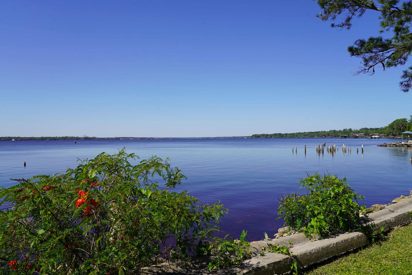
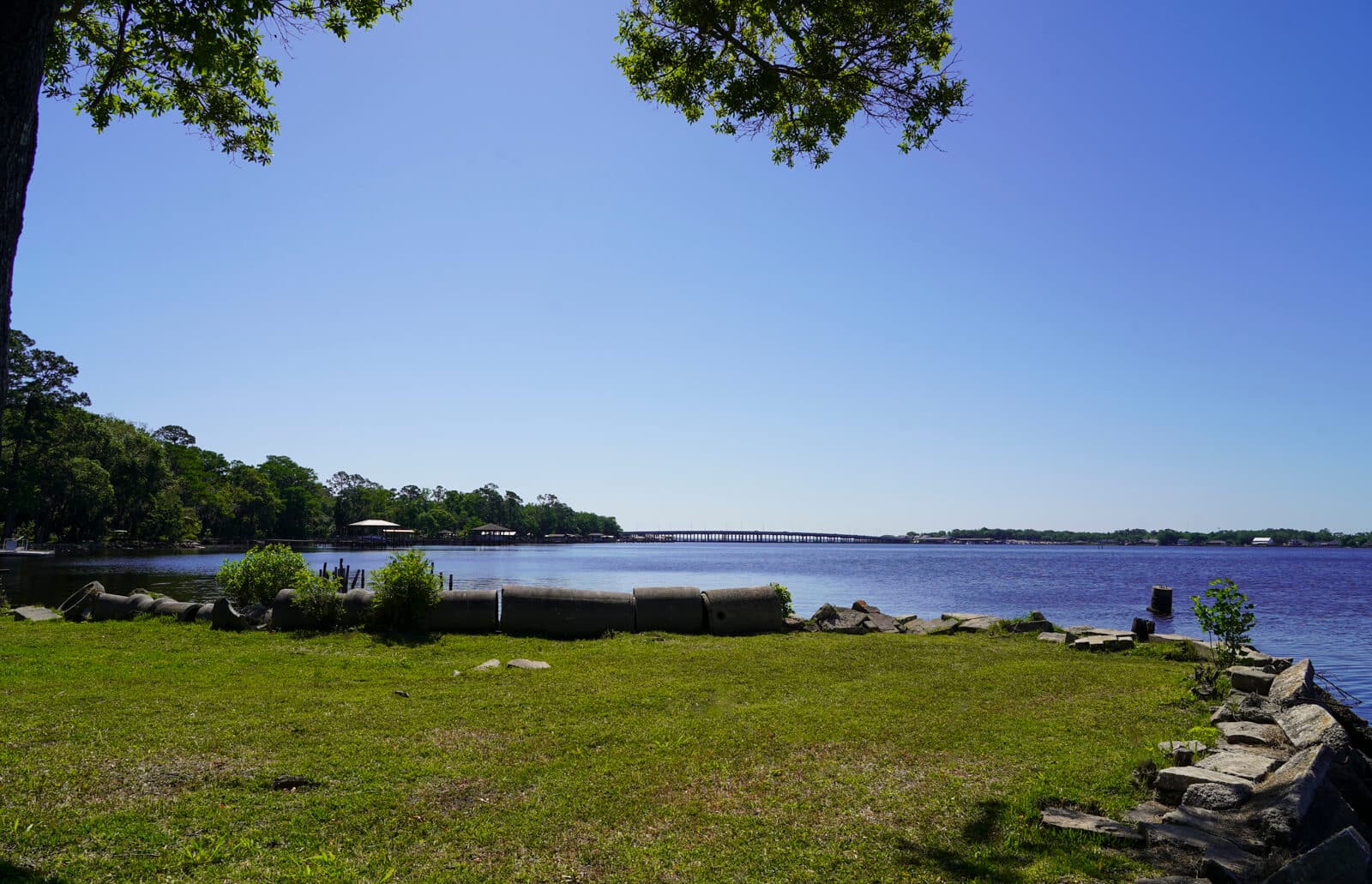
Upon entering the lake, John Bartram recorded its dimensions in his Journal with precision, framing it as “half a mile or more broad, and 6 or 7 [miles] long.” He immediately recognized the lake as a long, narrow inlet running roughly parallel to the St. Johns, a feature that Spanish land records had earlier described as a “laguna grande al occidente del río” (a great lagoon west of the river)
As Bartram’s party advanced toward the upper end of the lake, he noted that at the head of Doctor’s Lake lay “a large creek, about 100 or more yards broad, and near a mile and a half long, heading in a rich swamp with 3 or 4 branches, which drain it.” This creek is now known as Swimming Pen Creek (BT Site 3), which both Spanish and British observers had identified as agriculturally promising for European investment.
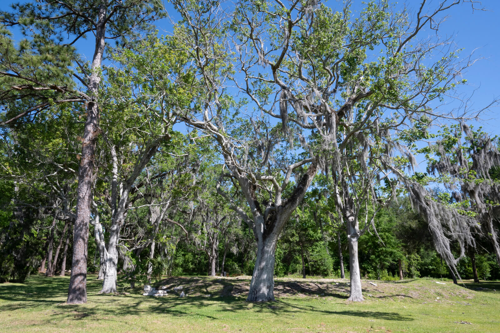
Bartram focused on soil quality, vegetation, and water movement. One of the most significant features Bartram recorded on 6 February 1766 was the hardwood hammock on the lake’s western shore. He described it as containing “oak, hiccory, magnolia, and hornbeam,” making it a classic East Florida hammock with surrounding pine flats and swamps.
Within this hammock, Bartram observed a major freshwater spring, which he described as “a fine spring of clear water almost big enough to turn a mill, boiling up from under the main body of the country rocks.” No doubt he learned about the springs from local stories of the Native people who used them for generations. The East Florida Papers from 1757 refer to the springs as “grandes manantiales que brotan de las rocas” (great fountains issuing from the rocks). The springs were of interest to British planners, who saw them as reliable freshwater sources for future settlement.
Francis Harper, in his paper published in Transactions of the American Philosophical Society, identified the spring as Wades Spring (present-day Wadesboro Spring), a 4th magnitude Spring located about a half-mile from the Lake’s shore. As is the case for all Florida springs, flow from this spring has diminished over time. The spring was most likely a 3rd magnitude spring when first visited by the Bartram Expedition.
The hammocks and pine ridges were home to white‑tailed deer, black bear, and wild turkey, all species noted in Spanish hunting reports from the 1750s. The lake itself held alligators, turtles, and abundant fish, including sturgeon, catfish, and gar. Wading birds such as herons, egrets, and ibises waded in the shallows, while ospreys and bald eagles glided overhead. Indigenous groups continued to use the area seasonally, especially for fishing and hunting. Pottery shards and arrowheads have been unearthed here for generations.
Bartram and his party likely camped that February night on the shores of Doctors Lake near the spring or its mouth.
Probably as a result of exploring this area with the Bartram Expedition, the guide, John Davis, would, in the same month, apply for and receive two land grants that included the lands described by John Bartram. His plantations would be some of the earliest documented British homesteads on the lake.
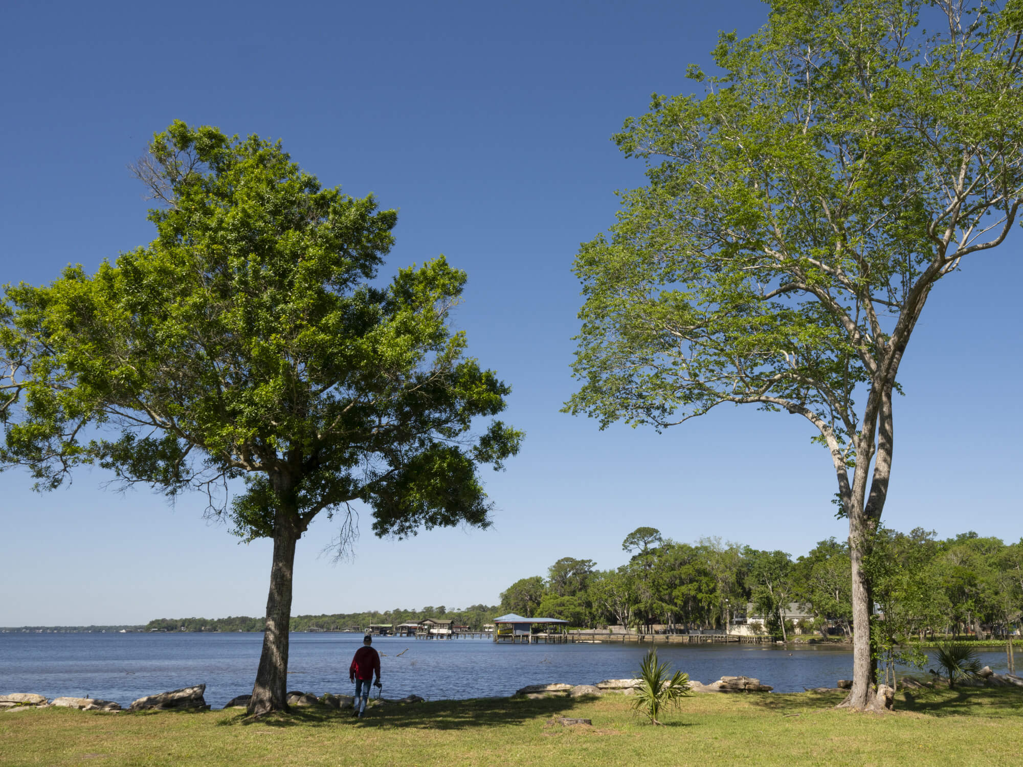
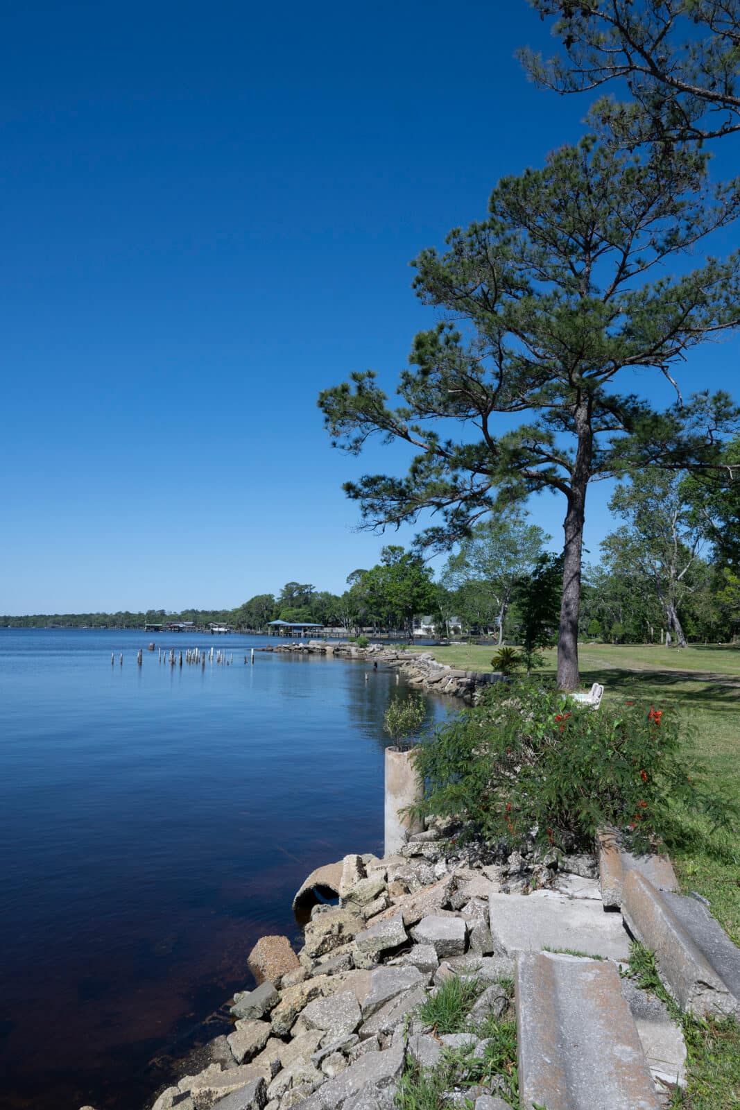
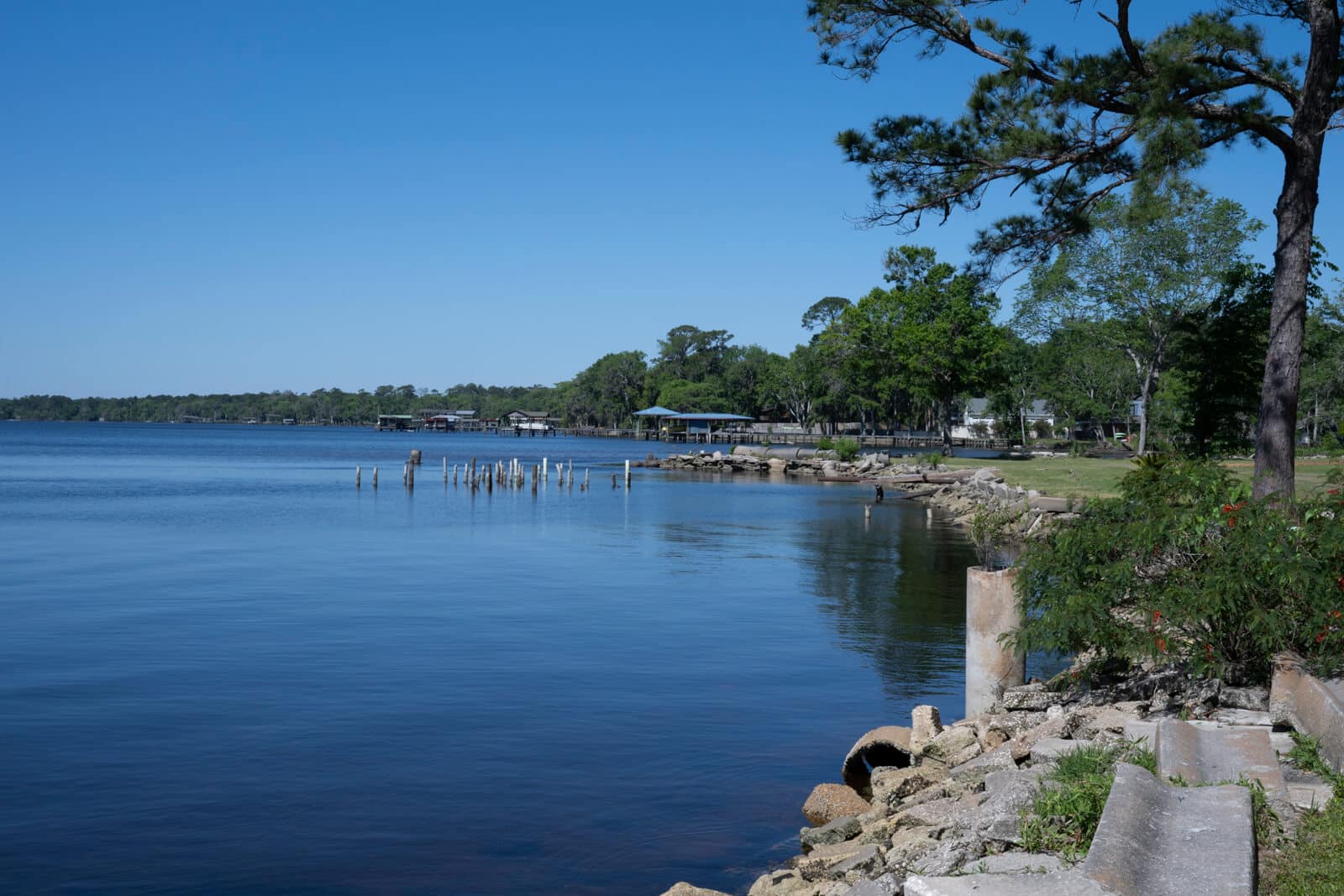
While Bartram did not likely step ashore at Nelson Point, you can start here to follow his path around Doctor’s Lake. To reach the site where Bartram disembarked to go to the springs, paddle northeast along the shore from Nelson Point to the area called “The Springs,” about a .75 mile paddle that does not require the crossing of the lake. Beginning in the 1870s, The Springs became a destination for tourists. The high mineral content in the springs led to declarations of medicinal properties. It was marketed as Tallulah Springs, Springfield, Old Mill Springs, Roaring Magnetic (or Magnetic Roaring) Springs, Bryant Springs, Maple Springs, Seminole Springs, and Wadesboro Springs (Leonidas Wade bottled the water and sold it).
Visitor Experience
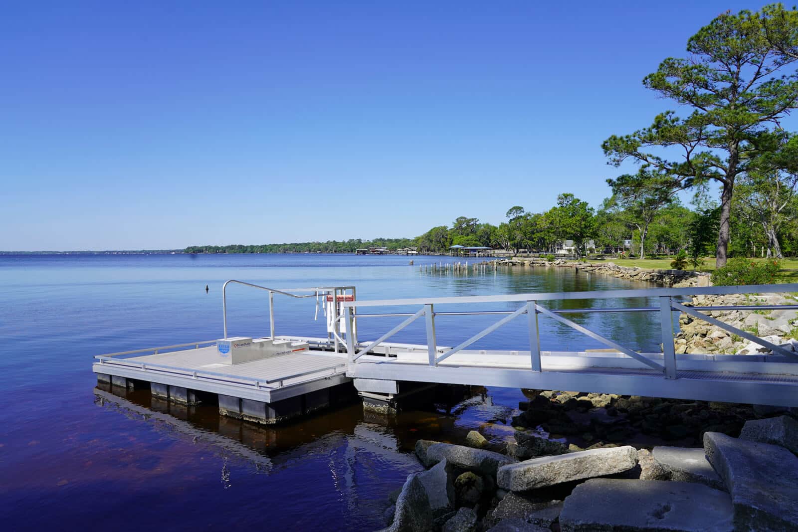
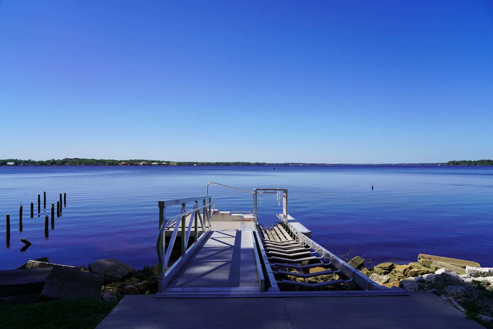
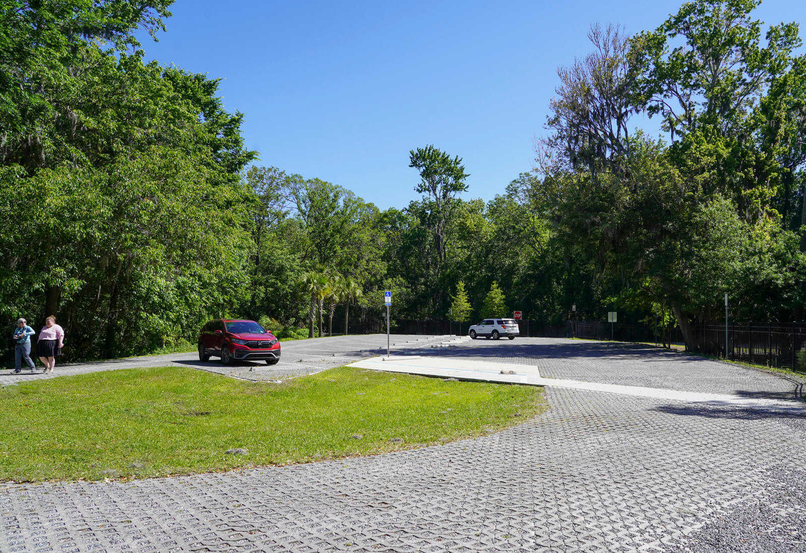
The Clay County Bartram Trail Site marker 1 is located on Nelson Point in the Rob Bradley Conservation Park at Nelson Point, 670 Nelson Drive, Orange Park, FL 32073.
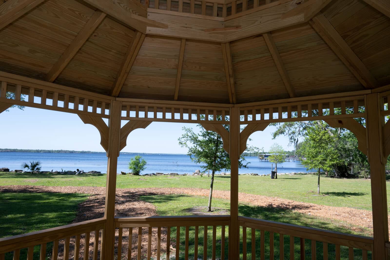
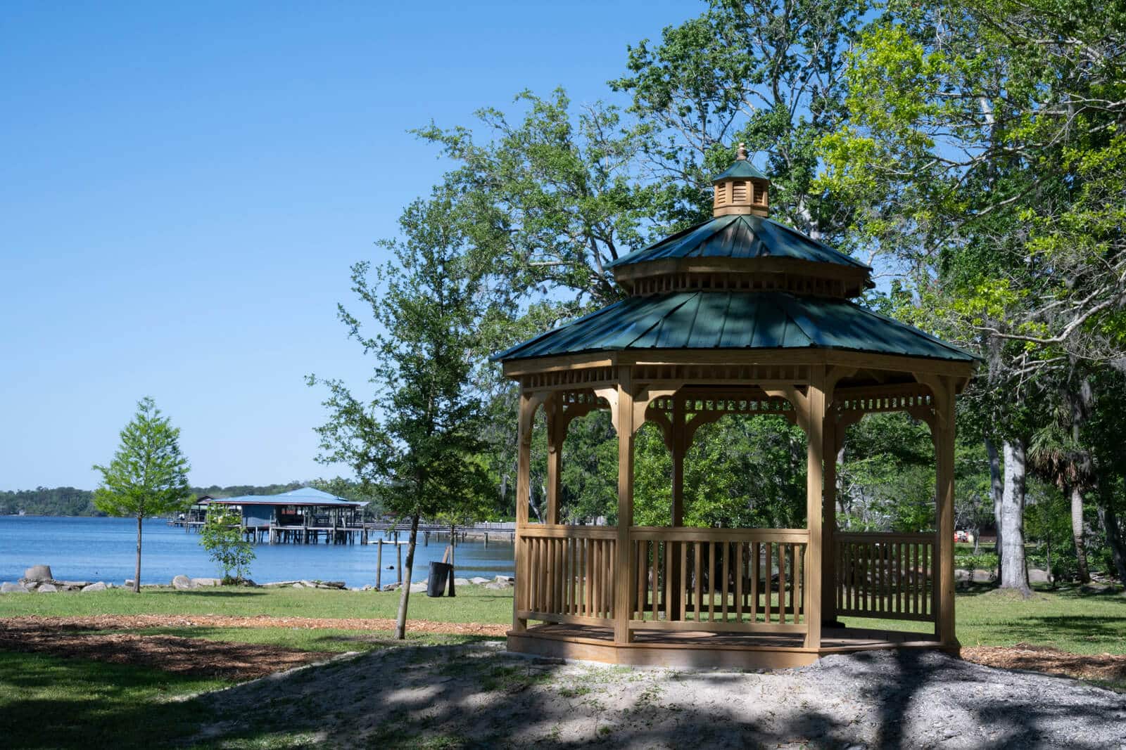
The park is operated by the Town of Orange Park and has a large paved parking area, an improved ADA kayak launch, a paved walkway along the lakefront, and a pavilion. There are no restroom facilities.
February 6, 1766
Set out for the Doctor’s lake, which is half a mile or more broad, and 6 or 7 long; at the head of which is a large creek, about 100 or more yards broad, and near a mile and a half long, heading in a rich swamp with 3 or 4 branches, which drain it: On the west side there is a hammock of oak, hickory, magnolia, and hornbeam, and a fine spring of clear water almost big enough to turn a mill, boiling up from under the main body of the country rocks, as all the great fountains do; the soil looks rich.