12 Seven Sisters Islands
Putnam County
I being a pretty good swimmer, in the midst of the bustle, and to avoid being beat over and perhaps wounded, I leapt out and caught hold of the dock of one of the horses; we all landed safe on one of the islands…
John and William Bartram
Although the Bartrams would have passed by these Islands on both their southbound and northbound journeys on the River, no mention of the Islands is made in John’s Journal.
William Bartram
The Route
William Bartram left Spalding’s Lower Store with a group of men taking a herd of horses to pasture. The pasture lands were across the river, probably because the store was located on the Indian side of the River and they may have feared that horses pastured there would be perceived as wild and available for capture. The River at the store is, as William observed, above a mile wide if one measures the distance from shore to shore across the Seven Sisters Islands (Figure 1). Consequently the route across the River from the store is, of necessity, circuitous. The route Bartram and his group followed was most likely the most direct between the store and the bluff on the east shore.
The Site
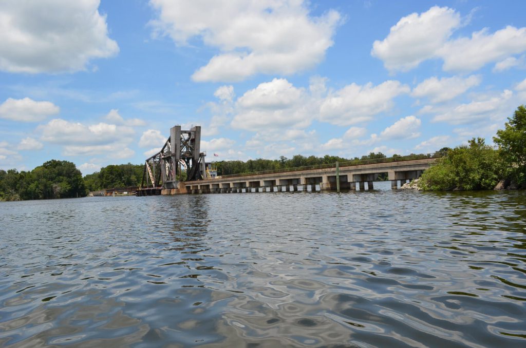
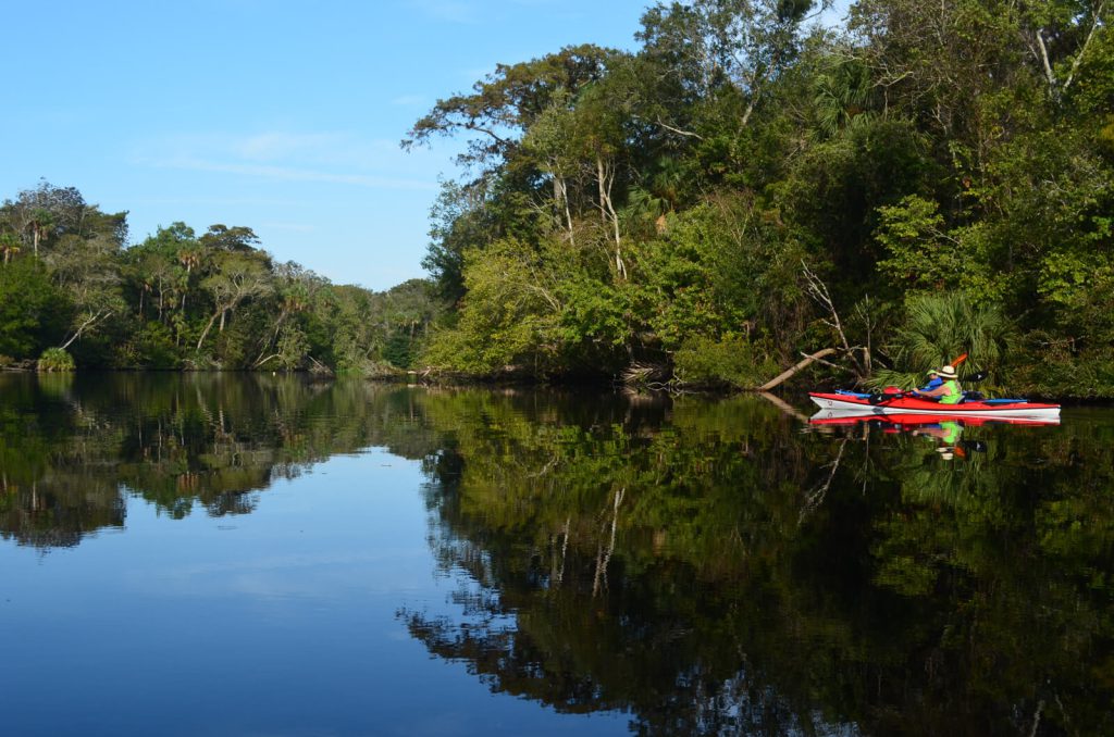
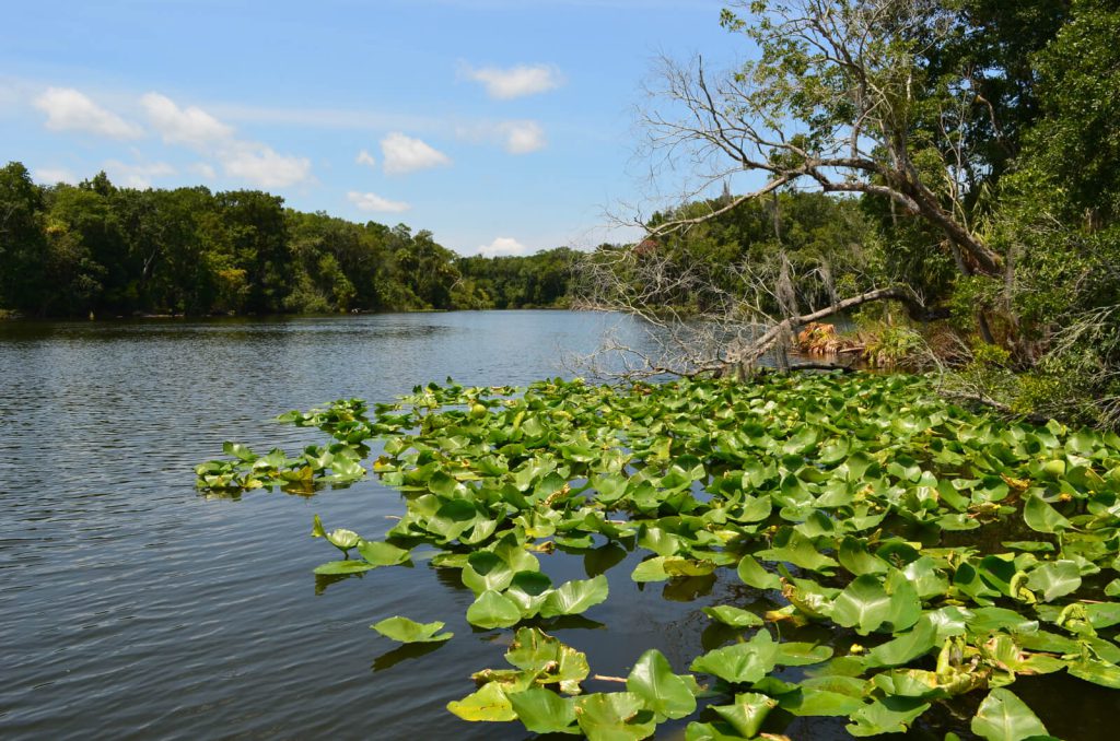
Seven Sisters Islands were comprised of seven small islands east of the main River channel. Today, two of the Islands have merged so that there now appear to be only six Sisters. The Islands are composed primarily of low swamp land, located in the St. Johns River between Stokes Landing on the west shore and Buffalo Bluff to the north and east. The Islands did not play a major role in William’s visit to Florida and he neither explored the Islands nor collected any samples of flora or fauna there. However, they are unique in that they are the only site to which William is known to have swum. The island to which he swam is uncertain, but can probably be narrowed down to one of the two closest to the bluff and along the most direct route from the Stokes Landing (Figure 2).
The determination of the location of William’s swim is based on the estimate provided in his Travels. The location where the horses began to jump from the vessel he estimated was about a “quarter of a mile” from the bluff on the eastern shore and the swim to the island he estimated to be about 150 yards. If the proposed route is correct, he would have been equidistant from the Islands to the north and south of the route and consequently could have gone ashore on either one. There is no description of this event in his Report so the location and routes are based solely on the information provided in his Travels.
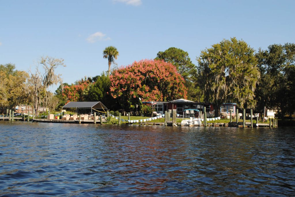
There are two Bartram Trail Markers for this site (12). One is located in the River at the north end of the Islands and the second is located on a dock on the east shore at Hermit’s Cove Marina about midway through the Islands. While the first marker can only be seen from the water, the second is reachable by both land and water. Hermit’s Cove Marina has a launch site and offers food and beverages and restroom facilities (Figure 3). Despite its unkempt appearance, Hermit’s Cove is open for business and is a local hangout known for its friendly proprietor and patrons. Despite its name, it is more a tavern than a marina. The launch site is a paved ramp but is suitable only for small craft.
Bartrams Travels
Page 304
THE company being busily employed in forming their packs of leather and loading the vessel, and I being eager to augment my collections during my stay here, I crossed the river with a party of our people, who were transporting a gang of horses to range in the meadows and plains on the side opposite to the trading-house we carried them over in a large flat or scow. The river was here above a mile wide, but divided into a number of streams by
Page 305
numerous islands, which occasioned the voyage to be very troublesome, as most of the horses were lately taken wild out of their ranges, and many of them young and untutored; being under the necessity of passing near the points of the islands, they grew restless and impatient to land, and it was with great difficulty we kept them on board, and at last when within a quarter of a mile of the opposite shore, passing between two islands, the horses became ungovernable, and most of them plunged into the river and forced over board one of our people; I being a pretty good swimmer, in the midst of the bustle, and to avoid being beat over and perhaps wounded, I leapt out and caught hold of the dock of one of the horses; we all landed safe on one of the islands, about one hundred and fifty yards distance, and the flat followed us: after a deal of trouble and loss of time we got the horses again into the scow, where securing them by withs and vines, we again sat off, and soon landed safe on the main, at a high bluff or bank of the river, where, after turning the horses to pasture and resting ourselves, we sat off on a visit to a plantation on the river, six or eight miles distance: on the way thither we discovered a bee tree, which we cut down and regaled ourselves on the delicious honey; leaving one of our companions to protect the remainder until our return with a tub, to collect it and carry it with us, and in the evening we all returned safe with our sweet booty to the trading-house.
Resources and Links
Travels
Bartram, William. Travels Through North & South Carolina, Georgia, East & West Florida, the Cherokee Country, the Extensive Territories of the Muscogulges, or Creek Confederacy, and the Country of the Chactaws; Containing An Account of the Soil and Natural Productions of Those Regions, Together with Observations on the Manners of the Indians. Embellished with Copper-Plates. James and Johnson Publishers. 1791. Electronic Edition.
http://docsouth.unc.edu/nc/bartram/bartram.html
Harper, Francis, ed. The Travels of William Bartram, Naturalist’s Edition. Yale University Press. New Haven. 1958.
Additional References
Florida History Online. New World in a State of Nature; British Plantations and Farms on the St. Johns River, East Florida 1763-1784. May 2013
http://www.unf.edu/floridahistoryonline/Projects/Plantations.html
http://www.unf.edu/floridahistoryonline/Plantations/plantations/Buffalo_Bluff.htm
Bruce, F.W. Assistant Engineer, US Army Corps of Engineers. St. Johns River to Lake Harney, Florida. 1908. The Portal to Texas History. University of North Texas. Nautical Chart of the St. Johns River.
http://texashistory.unt.edu/ark:/67531/metapth187523/m1/1/zoom/
Florida Museum of Natural History. Florida Naturalists. William Bartram. Book of Travels. May 2013
