15 Satsuma Spring
Putnam County


about 4 or 500 yards from the river, under the foot of which issued out a large fountain (big enough to turn a mill) of warm clear water of a very offensive taste, and smelt like bilge-water, or the washings of a gun-barrel; the sediment that adhered to the trees fallen therein, looked of a pale white or bluish cast, like milk and water mixed…
John and William Bartram
The Route
On December 27, 1765, John Bartram’s party left their camp at Spalding’s Lower Store, boarded their vessel and continued up river. After rowing an estimated five miles, they stopped beneath a tall bluff which John identified as Johnson’s Spring. They left their battoe and proceeded to hike south, crossing a number of lesser seeps and springs along the way. Chief among these “lesser springs” was Satsuma Spring which John’s Journal describes as a “large fountain of a very offensive taste.” Their hike took them as far south as Welaka Spring then the Bartrams returned to Johnson’s Spring to retrieve their vessel. Back on the River, the group rowed back towards Welaka Spring, and set up camp at Johnson’s Bluff; probably in close proximity to Welaka Spring (Figure 1).
It is apparent from their descriptions of the springs and seeps that their hike was along the shoreline probably in sight of the River (Figure 2). The topography in this area is characterized by a good deal of relief which afforded the group an interesting and challenging hike which is described in excellent detail in John’s Journal.
The Site
Springs are excellent landmarks and since their locations remain unchanged since the visit of the Bartrams, they afford those who desire to stand in the footprints of John and William the very best and very real opportunity to do so. While it can be a challenge to accurately identify the various springs mentioned in the Journal and match them to the known springs of today, Satsuma Spring is one that even today, so vividly matches John Bartram’s description, that it literally makes one feel that they have gone back in time to stand beside John and William as they discovered this wonderfully unique Florida spring.
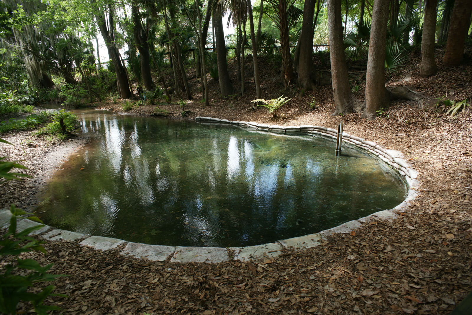
The Journal describes descending “a steep hill 20 foot high and about 4 or 500 yards from the river” and there finding “a large fountain (big enough to turn a mill) of warm clear water of a very offensive taste.” Satsuma Spring is classified as a low third magnitude spring and, like most Florida springs, its discharge is greatly diminished from the time of Bartram’s visit and probably no longer sufficient to turn a mill. Its water contains sulfate concentrations many times that of most Florida springs but similar to its southerly neighbor, Nashua Spring. This high sulfate concentration results in a strong hydrogen sulfide odor which, on December 27, 1765, John Bartram said “smelt like bilge-water, or the washings of a gun-barrel.” In addition to producing a strong odor, the sulfate encourages the growth of sulfur bacteria which grow on the surface of the sediment and any detritus or shoreline plants inundated by the spring run. John described this phenomenon saying: “the sediment that adhered to the trees fallen therein, looked of a pale white or bluish cast, like milk and water mixed.” All of these descriptors remain as accurate today as they did when they were entered into Bartram’s Journal.
After leaving Satsuma Spring, the group continued hiking south. The Journal states that they “then crossed the swamp, and ascended and descended two hills and narrow swamps more; at the foot of the last issued out another warm spring of clear water like the other, but not so large.” This accurately describes the topography, location and characteristics of Nashua Spring providing additional evidence that Bartram’s “large fountain” is, indeed Satsuma Spring.
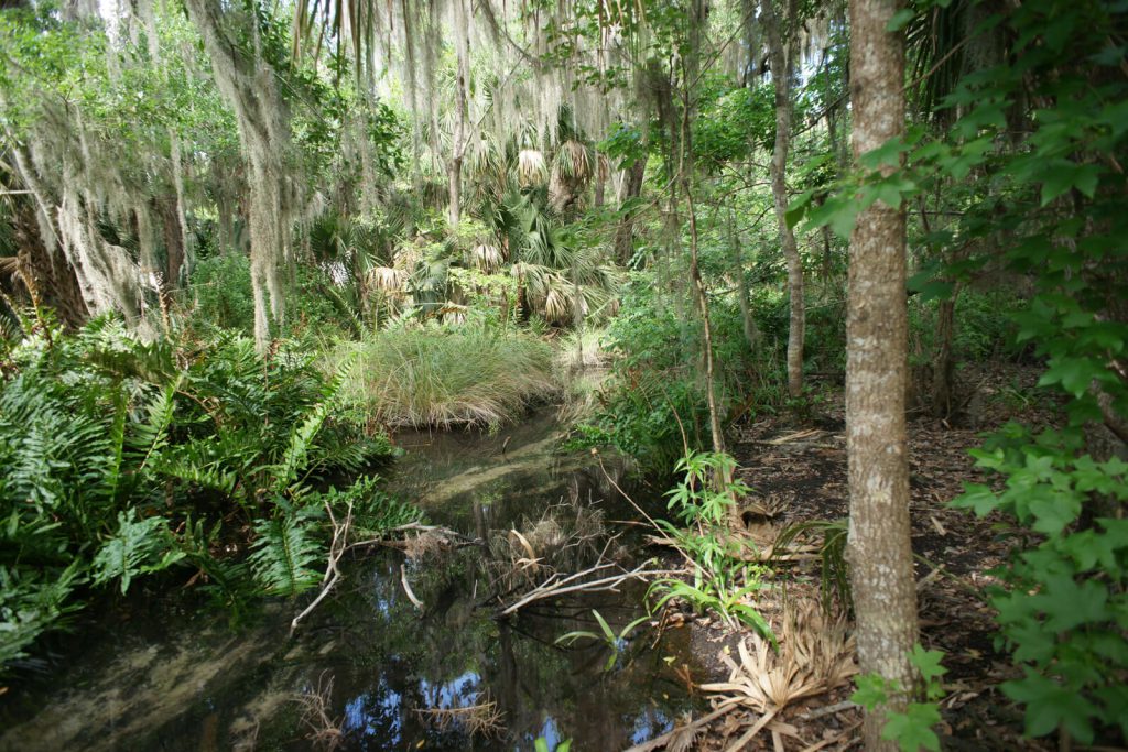
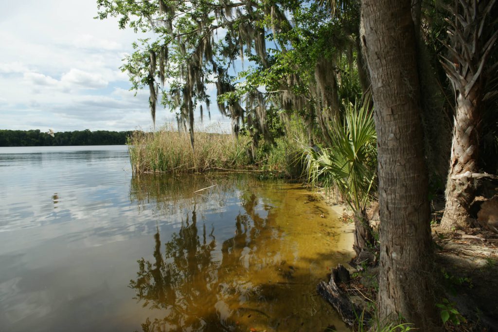
The Spring’s discharge is relatively small so the run from the spring to the River is shallow and heavily vegetated. At the mouth, the run is so obscured by stands of cane that despite knowing of its existence, lacking the BTS Marker, it is almost impossible to find from the River (Figure 3).
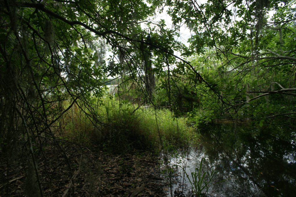
Bartram Trail Site Marker 15 is located on the east shore of the River approximately one half mile south of Putnam County’s Shell Harbor Public Boat Ramp which provides the closest and most convenient access to the Site (Figure 4). There is a short white sand beach along the shoreline at low water and the Cypress swamp, through which the run flows, stands in stark contrast to the upland vegetation on the northern bluff and higher elevation surrounding the Spring and its run. The run is too shallow and heavily vegetated for navigation even by shallow draft vessels and since the Spring is on private property, it cannot be accessed from the river without prior permission. At its head, the Spring is just as Bartram described, though it is now bordered on one side by a short sandbag wall that protects it from runoff from the steep banks surrounding it.
December 27, 1765 Journal Entry
“Thermometer 50, fine morning. Set out from the Store, and about 5 miles above, landed on a high bluff, on the east-side of the river, at Johnson’s Spring, a run of clear and sweet water, then travelled on foot along thick woody but loamy ground, looking rich on the surface by reason of the continual falling leaves, and by the constant evergreen shade rotting to soil, as the sun never shines on the ground strong enough to exhale their virtue before their dissolution, as under deciduous trees: We crossed several small rivulets of clear sweet water, and as many narrow moist swamps. ‘Tis diverting to observe the monstrous grape-vines, 8 inches in diameter, running up the oaks 6 foot in diameter, swamp-magnolia 70 foot high strait, and a foot diameter, the great magnolia very large, liquid-amber, white swamp and live oaks, chinquapines and cluster-cherry all of an uncommon size, mixed with orange-trees, either full of fruit or scattered on the ground, where the sun can hardly shine for the green leaves at Christmas, and all in a mass of white or yellow soil 16 foot more or less above the surface of the river. We came down a steep hill 20 foot high and about 4 or 500 yards from the river, under the foot of which issued out a large fountain (big enough to turn a mill) of warm clear water of a very offensive taste, and smelt like bilge-water, or the washings of a gun-barrel; the sediment that adhered to the trees fallen therein, looked of a pale white or bluish cast, like milk and water mixed: We then crossed the swamp, and ascended and descended two hills and narrow swamps more; at the foot of the last issued out another warm spring of clear water like the other, but not so large. Then travelling alternately over hills and swamps, in all about 3 or 4 miles, came to a great cove, near a quarter of a mile from the river, out of the head of which arose a prodigious large fountain of clear water of loathsome taste, like the other two before mentioned; it directly formed a large deep creek 40 or 50 yards wide to the river, and deep enough for a large boat to swim loaded to its head, which boils up near 8 foot deep from under the shelly rocks; ‘tis full of large fish, as cats, garr, mullets, and several other kinds, and plenty of alligators. Lodged at Johnson’s Bluff, where for a mile the sandy pine-barren comes close or near the shore, and here grew plenty of what is called wild limes, which shows that they will grow in poor soil though chiefly in rich.”
Resources and Links
The Journal
Florida History Online “John Bartram’s Travels on the St. Johns River, 1765-1766.” May 2013.
http://www.unf.edu/floridahistoryonline/Projects/Bartram.html
http://www.unf.edu/floridahistoryonline/Bartram/December_1765/27dec1765.htm
Bartram, John. Diary of a Journey through the Carolinas, Georgia, and Florida, from July 1, 1765, to April 10, 1766, annotated by Francis Harper. Transactions of the American Philosophical Society, n.s., Vol. XXXIII, Pt. I. Philadelphia, PA, 1942.
Additional References
Bruce, F.W. Assistant Engineer, US Army Corps of Engineers. St. Johns River to Lake Harney, Florida. 1908. The Portal to Texas History. University of North Texas. Nautical Chart of the St. Johns River.
http://texashistory.unt.edu/ark:/67531/metapth187523/m1/1/zoom/


