27 Rocky Point
Putnam County

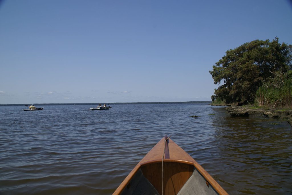
Rocky Point is an airy cool and delightful situation, commanding a most ample and pleasing prospect of the lake and its environs…
William Bartram
The Route
William visited Rocky Point and, by his account, intended to camp here during his return from his second trip up the St. Johns River in 1774. However, finding no firewood, he returned to his vessel and continued on to Drayton Island where he made camp for the night.
In Travels (p. 168) he describes his return route as including a campsite at Salt Springs. In this account, he left the Spring in the morning, crossed Salt Cove at the northwest corner of Lake George and made landfall at Rocky Point at the northwest entrance of the St. Johns River. This is somewhat confusing since he describes both Hog and Drayton Islands as being situated within the Lake and the entrance to the River north of the islands between Black and Keeths points – about 3.6 miles north of Rocky Point. After conducting a brief exploration of the area around the point, his route continued up the west channel of the St. Johns towards Mount Royal but stopped on Drayton Island where he established his camp and spent the night (Figure 2).
An account of a trip up the River recorded in his Report also describes a visit to a “promontory at the mouth of the River” and this shoreline too is described as “rocky.” This account of his return from his second trip up the St. Johns recorded in his Report (page 163), he describes visiting today’s Silver Glen Springs (which he calls Johnsons Spring) and from there sailing directly to Drayton Island where he collected plants and seeds, but left the Island before nightfall. In this account, he left Drayton Island and sailed across the River to a “promontory” but finding the shoreline too rocky and the Lake too rough to land, continued around the point to a sheltered cove where he landed and set up camp for the night. It is unlikely that Bartram would have left Drayton Island and sailed back to Rocky Point (south of the Island) on his way to the Lower Store. Given that the wind and waves in the more sheltered portion of Lake George surrounding Hog and Drayton islands were such that landing was made impossible, it is extremely unlikely that he sailed back towards the open waters of the Lake. The greater likelihood is that the promontory described by Bartram during this trip was either Black or Keeths Point situated where Bartram previously described as the mouth of the River. Although it is unlikely that the description of the promontory recorded in the Report is Rocky Point, the text is provided here for examination.
The Site
William landed at Rocky Point with the intention of establishing camp. However, the lack of firewood caused him to depart before nightfall in order to find a campsite on neighboring Drayton Island. His in-depth description of the rocky shoreline and his unsuccessful search for firewood indicate that he spent some time exploring the area around the Point. Harper (1943) contends that this visit occurred sometime in September (page 192). The River stage must have been unseasonably low during his visit because during periods of high or normal stage, the rocks are inundated and not visible above the surface. It is easy to see why this Point would have attracted William’s attention as the exposed limestone outcropping at this location is a feature unique to this Point on the St. Johns River’s shoreline.
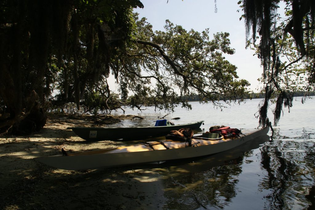
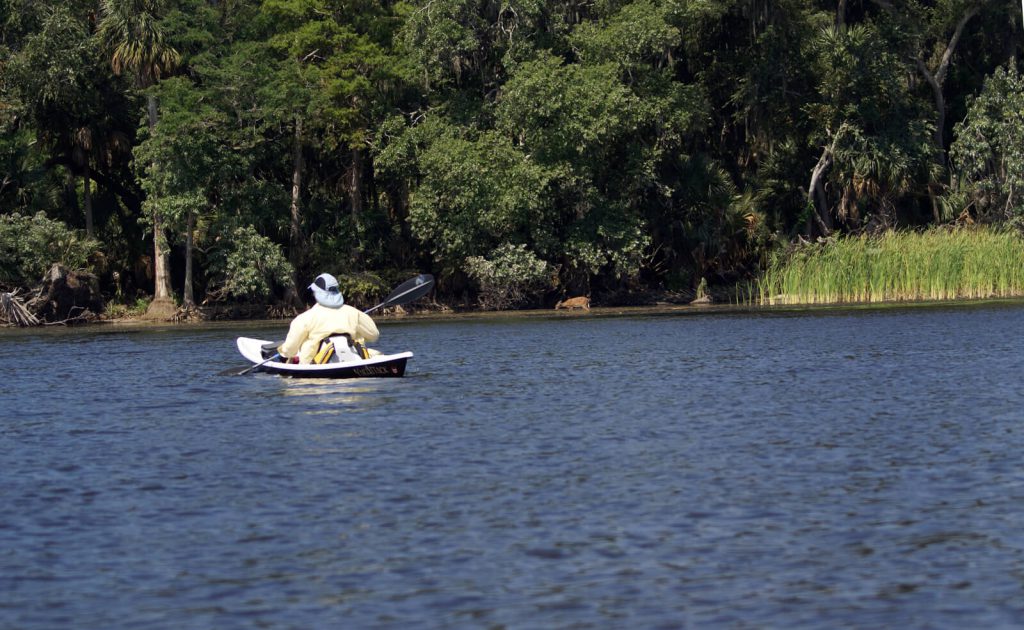
Rocky point is located within the Ocala National Forest and is accessible only by water as there are no established roads leading to the Point. Rocky Point is best reached by following the route described in Bartram’s Travels, departing from Salt Springs and paddling down the run and around the shoreline of Salt Cove to the Point; a distance of 6.5 miles. A shorter route (4.3 miles) is afforded by launching from the public boat ramp at the Drayton Island ferry landing and following the west shoreline of Drayton Island crossing the west channel of the St. Johns River at its narrowest point and following its west shoreline to the Point (Figure 3). It should be noted that, during seasonal periods of high water, the Point is inundated and the rocky outcroppings for which it is named are submerged. Consequently, Rocky Point is best visited during periods of low River stage. These occur typically during the first six months of the year. The period from late August through early December affords the least likely opportunity to see the rocky ledge.
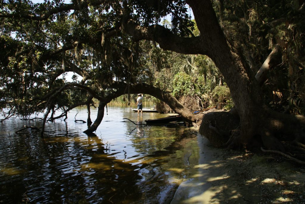
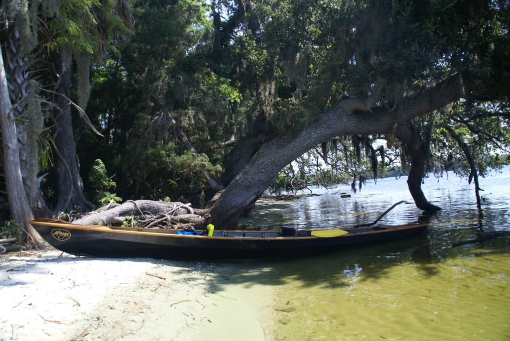
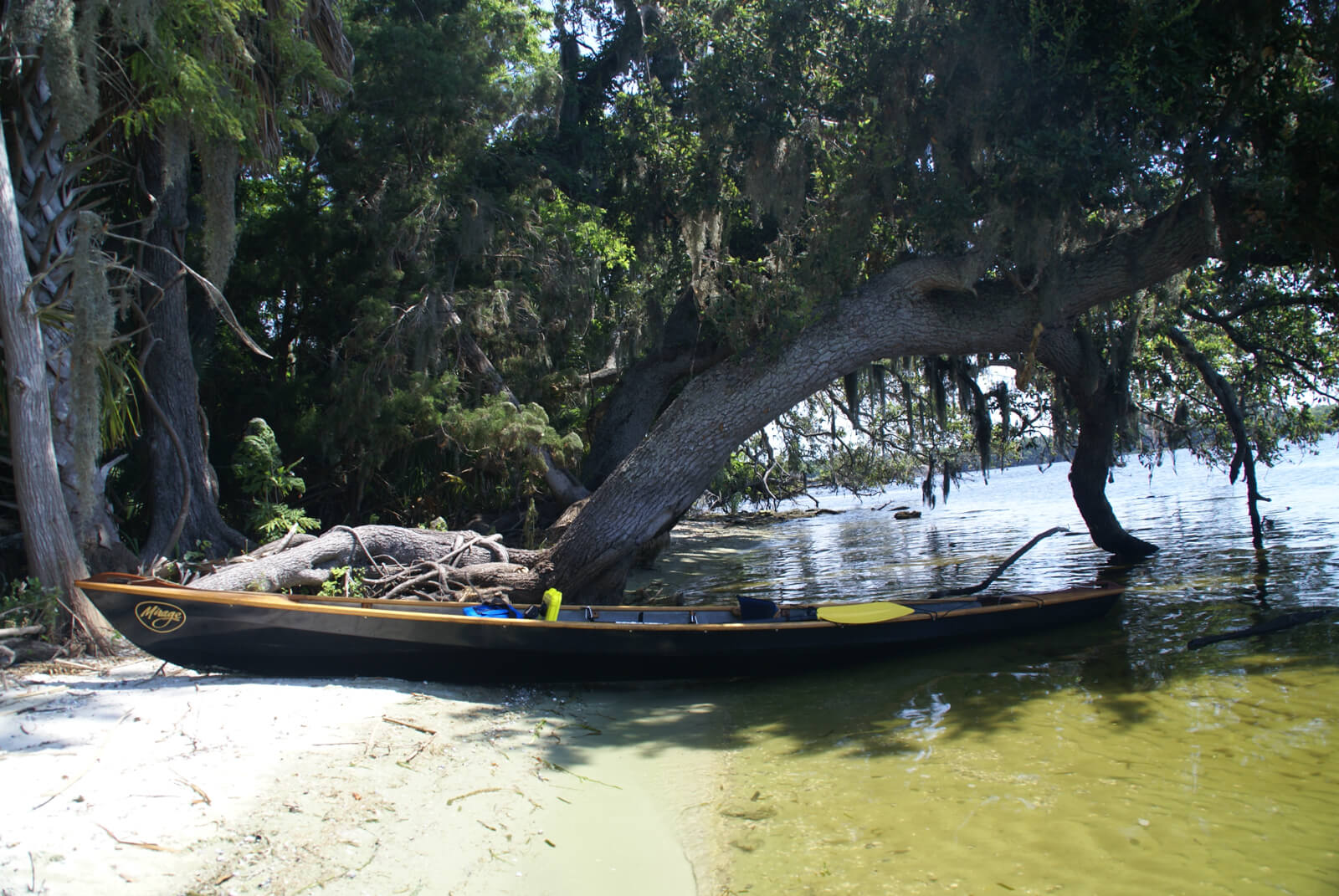
Bartram Trail Marker 27 is attached to a tree on the shoreline of Lake George near the southernmost extent of Rocky Point (Figure 4). It is plainly visible from the Lake. Rocky Point is located within the Ocala National Forest and the Point and its surrounding land are in public ownership. Visitors to the site are welcome to go ashore and explore in the footsteps of William Bartram. The land at the point is typically high and dry. Although there is no established campsite at Rocky point, primitive (dispersed) camping is allowed within the Forest. Special rules and guidelines apply so visitors should check the Forest Service website when planning a visit. A link to the Forest Service rules is provided on the Resources & Links tab.
Bartrams Travels
Page 168
THE sun passing below the horizon, and night approaching, I arose from my seat, and proceeding on arrived at my camp, kindled my fire, supped and reposed peaceably. And rising early, employed the fore part of the day in collecting specimens of growing roots and seeds. In the afternoon, left these Ellisian springs and the aromatic graves, and briskly descend the pellucid little river, re-entering the great lake; the wind being gentle and fair for Mount Royal, I hoisted sail and successfully crossing the N. West bay, about nine miles, came to at Rocky Point, the West cape or promontory, as we enter the river descending towards Mount Royal:
Page 169
these are horizontal slabs or flat masses of rocks, rising out of the lake two or three feet above its surface, and seem an aggregate composition or concrete of sand, shells and calcarious cement; of a dark grey or dusky colour; this stone is hard and firm enough for buildings, and serve very well for light hand mill-stones; and when calcined affords a coarse lime; they lay in vast horizontal masses upon one another, from one to two or three feet in thickness, and are easily seperated and broke to any size or form, for the purpose of building. Rocky Point is an airy cool and delightful situation, commanding a most ample and pleasing prospect of the lake and its environs; but here being no wood, I re-embarked and sailed down a little farther to the island in the bay, where I went on shore at a magnificent grove of Magnolias and Oranges, desirous of augmenting my collections. Arose early next morning, and after ranging the groves and savannas, returned, embarked again, and descending, called at Mount Royal, where I enlarged my collections; and bidding adieu to the gentleman and lady, who resided here, and who treated me with great hospitality on my ascent up the river; arrived in the evening at the lower trading house.
Bartrams Report
[163]
The Next morning early got off[,] padled about 2 Miles & come to the mouth of Johnsons Springs; padled near a mile up & come to a vast Fountain, almost in every respect like the other great Spring that I visited before. I;went a shore, mounted very high, hills very steep next the Creek, but fell away more gradually back, & enterd a beautifull grove of Palm Trees[,] large spreading live Oaks & -Vast Laurel Magnolia, mounted a very high ridge, from whence had an almost endless view of a vast baren desart, altogether impenetrable so thickly over grown with short schrubby Oaoks, Bays[,]Yapon[,] Prinos & short laurel bushes (Magnolia Grandaflora) & c. about these hills & open groves, observed abundance of the beautiful Scarlet Sage, the beauti[fu]ll large yellow Malva, A noble, sweet sented Shrub bearing golden clustres of Flowers, Tall Apuntia, breeding plenty of Cochaniel. Returnd to my boat, & with a gentle favourable breese sailed over to Drayton Island; I landed here[,] got some Roots & seeds of some valuable Shrubs & Plants, set off and [41] By night got over to a Promontary at the mouth of the River. the shore being very rockey & the wind blowing very high[,] found it very dificult & dangerous landing, it being open to the Lake but with great struggle got round a point of Marsh, into a safe harbour by dark, here I camped all Night. Next norming I traversed about this Point[,] came to an Orange Grove, I discovered a most singular & beautifull Species of Convolvulos[.] left this place & within night got safe down to the lower Store very wet & tired, having gone through a very heavey gust of Rain.S’ Johns River[.]
Resources and Links
Travels
Bartram, William. Travels Through North & South Carolina, Georgia, East & West Florida, the Cherokee Country, the Extensive Territories of the Muscogulges, or Creek Confederacy, and the Country of the Chactaws; Containing An Account of the Soil and Natural Productions of Those Regions, Together with Observations on the Manners of the Indians. Embellished with Copper-Plates. James and Johnson Publishers. 1791. Electronic Edition.
http://docsouth.unc.edu/nc/bartram/bartram.html
Harper, Francis, ed. The Travels of William Bartram, Naturalist’s Edition. Yale University Press. New Haven. 1958.
Report
Bartram, William. Annotated by Francis Harper. Travels in Georgia and Florida, 1773-74; a report to Dr. John Fothergill. Annotated by Francis Harper. Transactions of the American Philosophical Society, n.s., Vol. XXXIII, Pt. II. Philadelphia, PA, 1943.
http://babel.hathitrust.org/cgi/pt?id=mdp.39015021105773#view=1up;seq=7
The Journal
Florida History Online “John Bartram’s Travels on the St. Johns River, 1765-1766.” May 2013.
http://www.unf.edu/floridahistoryonline/Projects/Bartram.html
Bartram, John. Diary of a Journey through the Carolinas, Georgia, and Florida, from July 1, 1765, to April 10, 1766, annotated by Francis Harper. Transactions of the American Philosophical Society, n.s., Vol. XXXIII, Pt. I. Philadelphia, PA, 1942.
Additional References
Florida History Online. New World in a State of Nature; British Plantations and Farms on the St. Johns River, East Florida 1763-1784. May 2013
http://www.unf.edu/floridahistoryonline/Plantations/plantations/Drayton_Island.htm
Bruce, F.W. Assistant Engineer, US Army Corps of Engineers. St. Johns River to Lake Harney, Florida. 1908. The Portal to Texas History. University of North Texas. Nautical Chart of the St. Johns River.
http://texashistory.unt.edu/ark:/67531/metapth187523/m1/1/zoom/
Florida Museum of Natural History. Florida Naturalists. William Bartram. Book of Travels. May 2013
http://www.flmnh.ufl.edu/naturalists/bartramw03.htm#f
US Forest Service guidelines on camping within the Forest.
https://www.fs.usda.gov/activity/ocala/recreation/camping-cabins/?recid=32295&actid=34
