04 Palatka
Putnam County

There were eight or ten habitations…fronting the water… Some of the youth were naked, up to their hips in the water, fishing with rods and lines, whilst others, younger, were diverting themselves in shooting frogs with bows and arrows… They were civil, and appeared happy in their situation.
John & William Bartram
The Route
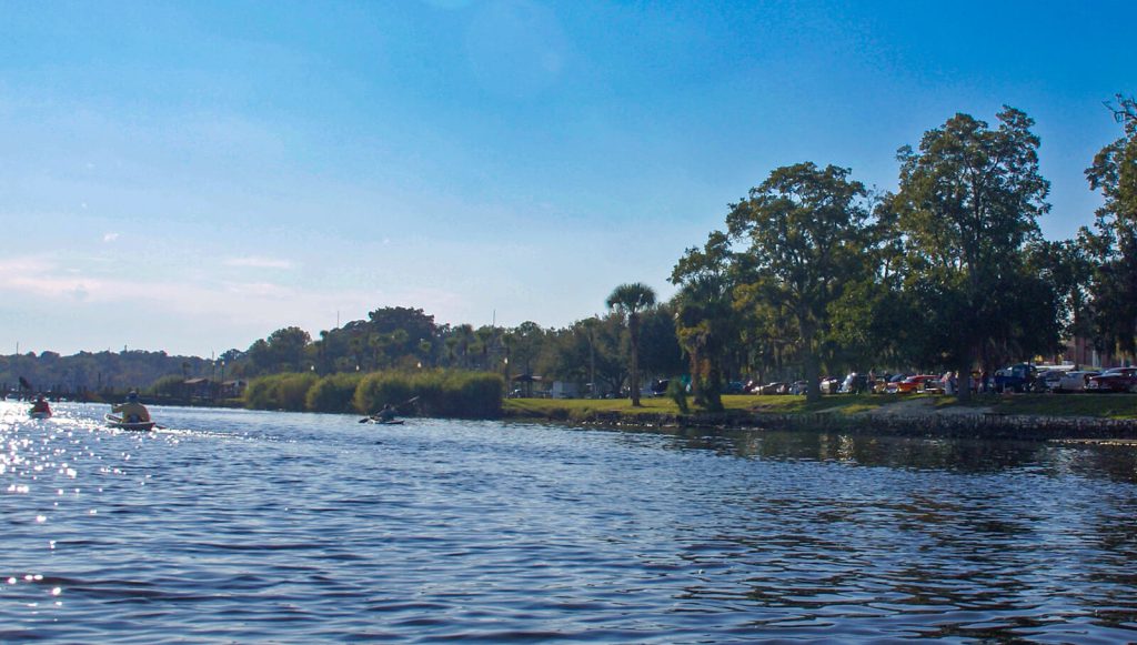
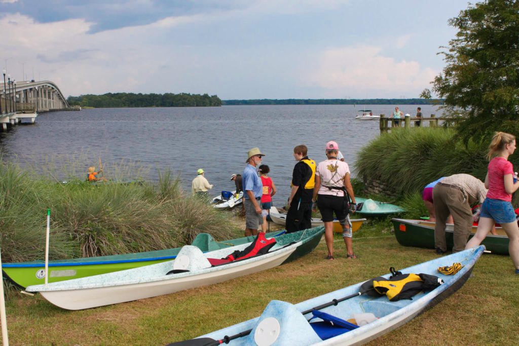
John Bartram’s party, having camped at or near Palmetto Bluff on the west shore of the St. Johns River, packed their gear and on this cold Christmas day in 1765, began rowing upstream towards present-day Palatka. By the descriptions in the Journal and allowing that the purpose was to survey the natural resources along the River, it is apparent that the route was close along the shoreline where the swamp and upland vegetation could be observed and cataloged (Figure 1). The width of the river in this reach averages between one and two miles below (north of) Palatka and is not less than half of a mile at any point between Palatka and Nine Mile Point.
Nearly two hundred and fifty years later, the choice swamps described in Bartram’s Journal remain the key feature along this reach of the west shoreline of the St. Johns. The magnificent Cypress trees that would have dominated these swamplands are now but vestiges of their former stature as all of the old growth was harvested by the Wilson Cypress Company that operated in Palatka in the early 20th century.
The Site
John’s Journal describes a landfall “several miles” upstream of the location of their previous night’s camp. The location of this landfall is probably one of the most questionable (and therefore most widely debated) of all of the Bartram sites within Putnam County. Other than its distance from the camp, the details about the site provided in the Journal are limited to “a point of high ground, which has been an ancient plantation of Indians or Spaniards” the presence of “many live oak-trees … , and plenty of oranges” and the lay of the land which he described as they “walked back from the river, the ground rising gradually from the swamp on the right-hand.” Probably the most useful part of this description is of the swamp on the right-hand. What is most lacking from the description is any mention about having crossed the River prior to making the landfall. Whether this is an omission or an indication that no crossing occurred, we cannot know.
William Bartram
William Bartram sailed past Palatka twice on his solo trip up the River, once in late April or early May of 1774, once during a brief schooner trip downstream to pick up mail, and again on his return trip by trading schooner at the end of his explorations. Towards the end of his travels, probably in September 1774, he hiked from Spalding’s Lower Store, a few miles south, and visited the Seminole village at Palatka taking part in a local festival.
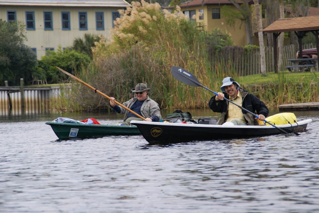
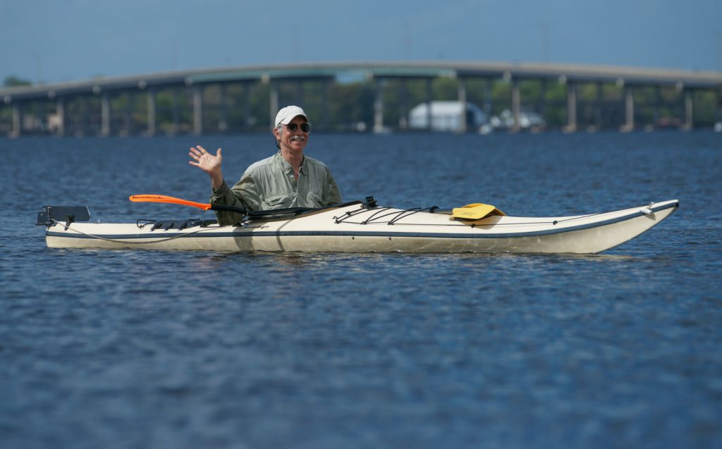
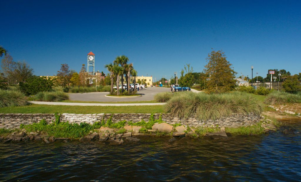
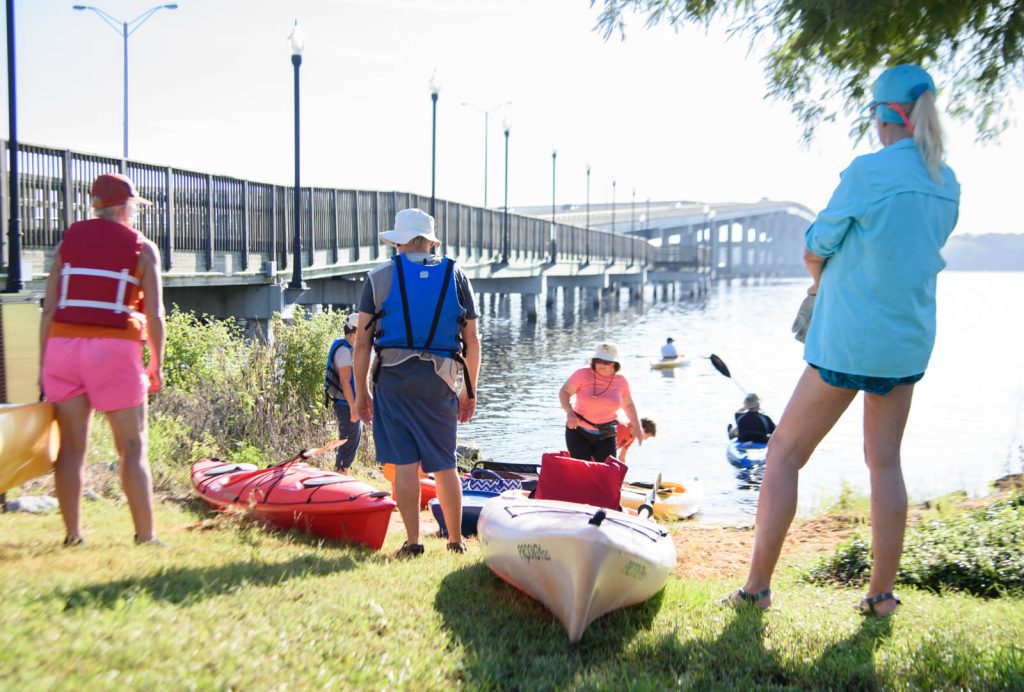
The routes of his journeys past this site can be approximated from the description in his Travels. It appears that he retraced the upstream route taken nine years earlier with his father save for his departure from a point perhaps at or near Federal Point on the east shore rather than Palmetto Bluff on the west shore of the River. From his description of the village at Palatka, it is apparent that he sailed close to shore on his initial passage, exchanging hand signals with the Seminole residents as he passed by. The water depth along the west shore in this area, despite being on the outside bend of the River, is sufficiently shallow to allow the villagers to wade out into the River yet deep enough for William to approach fairly close to the shore line in his small sailboat (Figure 2). On his second and third passages in the trading schooner, his route would have been farther from the shoreline in deeper water and influenced greatly by the wind direction on the day of his passage. There is no mention of the present-day site of Palatka in his cursory description of this sailing trip down the river at the end of his Florida visit.
It is interesting to note that this site was not mentioned in William’s Report to Dr. John Fothergill. The Report describes sailing 30 miles in one day, from a campsite two miles south of Fort Picolata, past this site (making no mention of a Seminole Village) and on to Villa Role where he spent the night (Page 146). Harper (1958) in his commentary on Travels, suggests that if the details provided in this account are accurate, the route followed by William on this day began near Tocoi Creek and coasted the east shore to Racy Point, where he took advantage of the shorter crossing of the broad river to Nine Mile Point on the west shore which he coasted until he rounded Forrester Point. He concurs that the Seminole village described in Travels was at this site in Palatka.
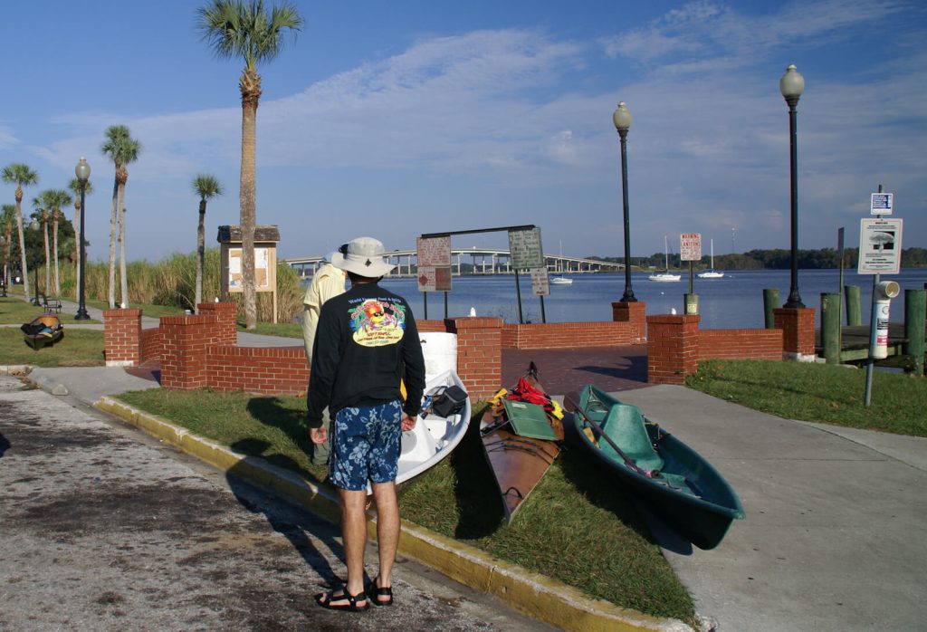
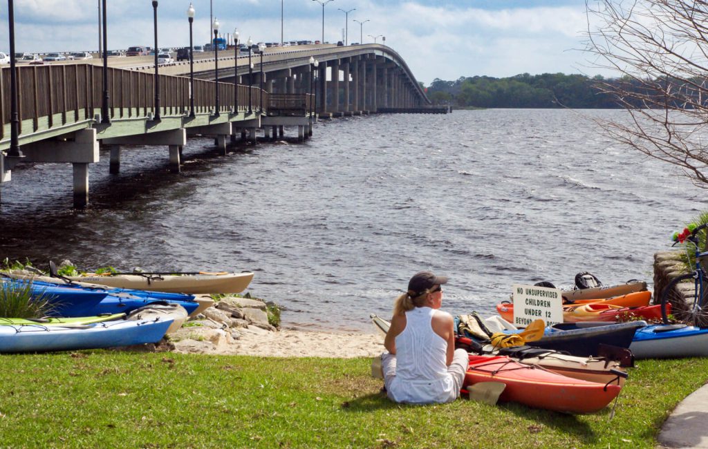
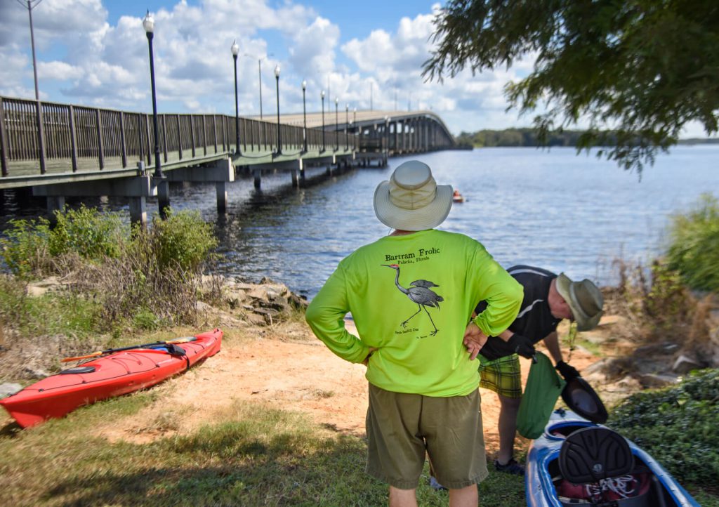
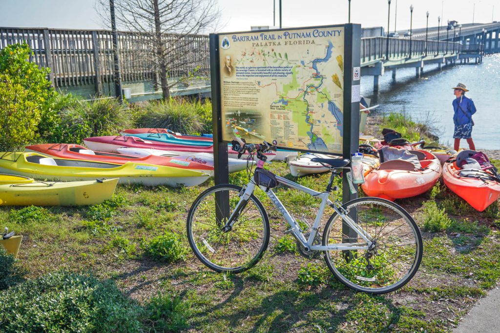
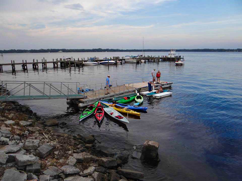
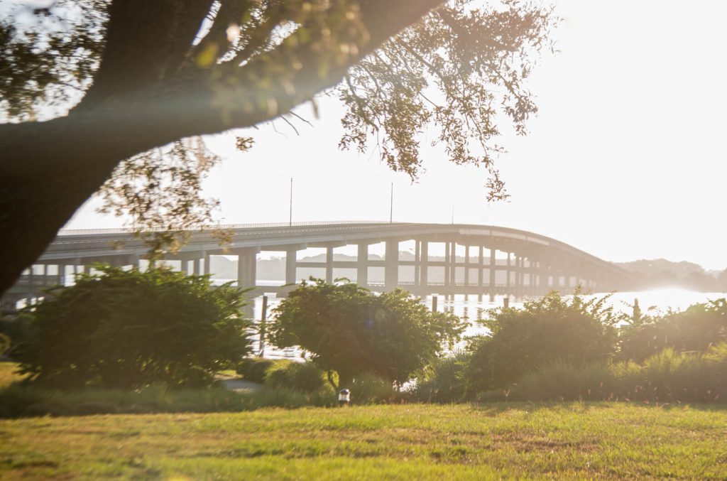
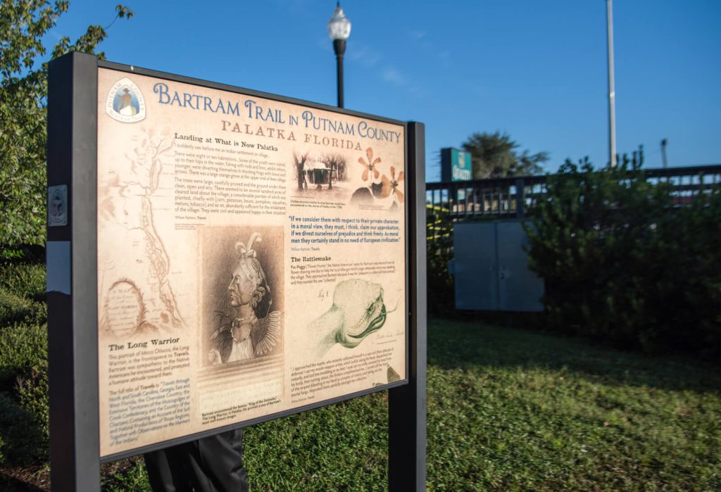
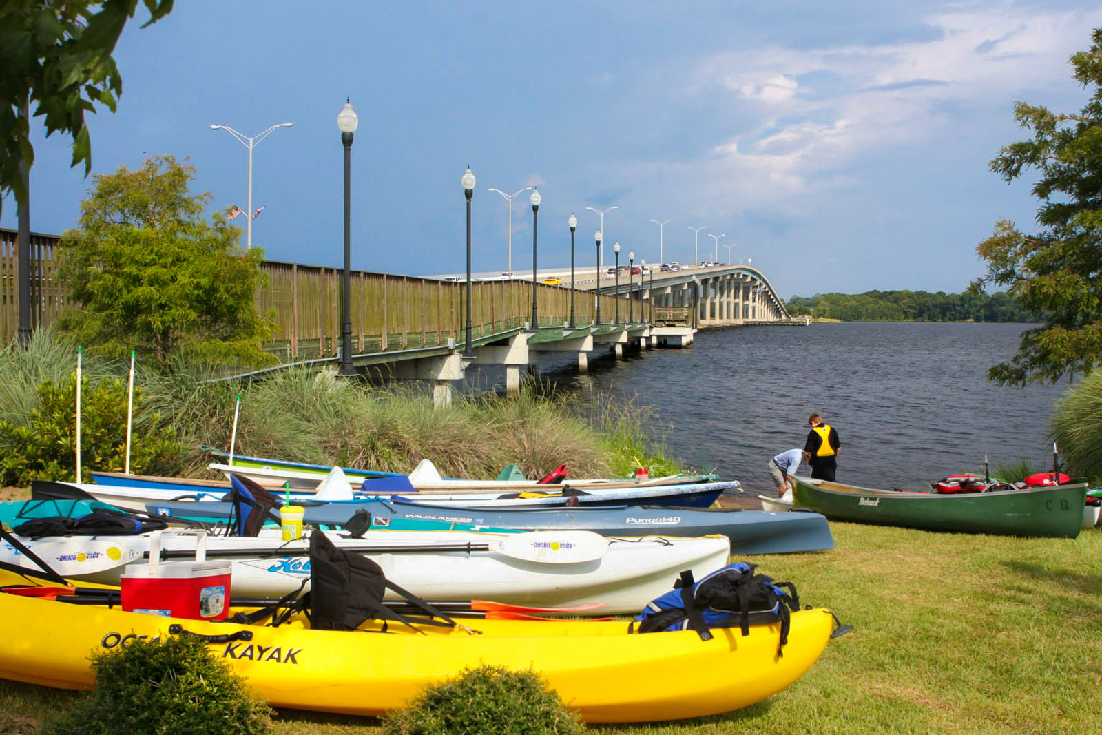
Bartram Trail Site Marker 4 is located across the street from the Headquarters Trailhead at the St. Johns River Center in downtown Palatka. It can be reached by water or land and is located at the foot of the Memorial Bridge on the southwest side. The Palatka Bartram Trail Kiosk is located at this site as well and is only a few yards from the Marker (Figure 3).
William Bartram Travels - May 1774
IT being a fine cool morning, and fair wind, I sat sail early, and saw, this day, vast quantities of the Pistia stratiotes, a very singular aquatic plant. It associates in large communities, or floating islands, some of them a quarter of a mile in extent, and are impelled to and fro, as the wind and
Page 89
current may direct. They are first produced on, or close to the shore, in eddy water, where they gradually spread themselves into the river, forming most delightful green plains, several miles in length, and in some places a quarter of a mile in breadth. These plants are nourished and kept in their proper horizontal situation, by means of long fibrous roots, which descend from the nether center, downwards, towards the muddy bottom. Each plant, when full grown, bears a general resemblance to a well grown plant of garden lettice, though the leaves are more nervous, of a firmer contexture, and of a full green colour, inclining to yellow.
It vegetates on the surface of the still stagnant water, and in its natural situation, is propagated from seed only. In great storm of wind and rain, when the river is suddenly raised, large masses of these floating plains are broken loose, and driven from the shores, into the wide water, where they have the appearance of islets, and float about, until broken to pieces by the winds and waves; or driven again to shore, on some distant coast of the river, where they again find footing, and there, forming new colonies, spread and extend themselves again, until again broken up and dispread as before.
These floating islands present a very entertaining prospect; for although we behold an assemblage of the primary productions of nature only, yet the imagination seems to remain in suspence and doubt; as in order to enliven the delusion and form a most picturesque appearance, we see not only flowery plants, clumps of shrubs, old weather-beaten trees, hoary and barbed, with the long moss waving from their snags, but we also see them compleatly inhabited, and alive, with crocodiles, serpents, frogs, otters,
Page 90
crows, herons, curlews, jackdaws, &c. there seems, in short, nothing wanted but the appearance of a wigwam and a canoe to complete the scene.
KEEPING along the West or Indian shore, I saw basking on the sedgy banks, numbers of alligators*,
* I have made use of the terms alligator and crocodile indiscriminately for this animal, alligator being the country name.
some of them of an enormous size.
THE high forests on this coast, now wore a grand and sublime appearance, the earth rising gradually, from the river Westward, by easy swelling ridges, behind one another, and lifted the distant groves up into the skies. The trees are of the lofty kind, as the grand Laurel Magnolia, Palm elata, Liquid-amber styraciflua, Fagus sylvatica, Querci, Juglans hiccory, Fraxinus, and others.
ON my doubling a long point of land, the river appeared surprisingly widened, forming a large bay, of an oval form, and several miles in extent. On the West side it was bordered round with low marshes, and invested with a swamp of Cypress, the trees so lofty, as to preclude the sight of the high-land forests, beyond them; and these trees, having flat tops, and all of equal height, seemed to be a green plain, lifted up and supported upon columns in the air, round the West side of the bay.
THE Cupressus disticha stands in the first order of North American trees. Its majestic stature is surprising, and on approaching them, we are struck with a kind of awe, at beholding the stateliness of the trunk, lifting its cumbrous top towards the skies, and casting a wide shade upon the ground, as a dark intervening cloud, which, for a time, precludes
Page 91
the rays of the sun. The delicacy of its colour, and texture of its leaves, exceed every thing in vegetation. It generally grows in the water, or in low flat lands, near the banks of great rivers and lakes, that are covered, great part of the year, with two or three feet depth of water, and that part of the trunk, which is subject to be under water, and four or five feet higher up, is greatly enlarged, by prodigious buttresses, or pilasters, which, in full grown trees, project out on every side, to such a distance, that several men might easily hide themselves in the hollows between. Each pilaster terminates under ground, in a very large, strong, serpentine root, which strikes off, and branches every way, just under the surface of the earth; and from these roots grow woody cones, called cypress knees, four, five, and six feet high, and from six to eighteen inches and two feet in diameter at their bases. The large ones are hollow, and serve very well for beehives; a small space of the tree itself is hollow, nearly as high as the buttresses already mentioned. From this place the tree, as it were, takes another beginning, forming a grand strait column eighty or ninety feet high, when it divides every way around into an extensive flat horizontal top, like an umbrella, where eagles have their secure nests, and cranes and storks their temporary resting places; and what adds to the magnificence of their appearance, is the streamers of long moss that hang from the lofty limbs and float in the winds. This is their majestic appearance, when standing alone, in large rice plantations, or thinly planted on the banks of great rivers.
PAROQUETS are commonly seen hovering and fluttering on their tops: they delight to shell the
Page 92
balls, its feed being their favourite food. The trunks of these trees when hollowed out, make large and durable pettiaugers and canoes, and afford excellent shingles, boards, and other timber, adapted to every purpose in frame buildings. When the planters fell these mighty trees, they raise a stage round them, as high as to reach above the buttresses; on this stage, eight or ten negroes ascend with their axes, and fall to work round its trunk. I have seen trunks of these trees that would measure eight, ten, and twelve feet in diameter, for forty and fifty feet strait shaft.
As I continued coasting the Indian shore of this bay, on doubling a promontory, I suddenly saw before me an Indian settlement, or village. It was a fine situation, the bank rising gradually from the water. There were eight or ten habitations, in a row, or street, fronting the water, and about fifty yards distance from it. Some of the youth were naked, up to their hips in the water, fishing with rods and lines, whilst others, younger, were diverting themselves in shooting frogs with bows and arrows. On my near approach, the little children took to their heels, and ran to some women, who were hoeing corn; but the stouter youth stood their ground, and, smiling, called to me. As I passed along, I observed some elderly people reclined on skins spread on the ground, under the cool shade of spreading Oaks and Palms, that were ranged in front of their houses; they arose, and eyed me as I passed, but perceiving that I kept on, without stopping, they resumed their former position. They were civil, and appeared happy in their situation.
THERE was a large Orange grove at the upper
Page 93
end of their village; the trees were large, carefully pruned, and the ground under them clean, open, and airy. There seemed to be several hundred acres of cleared land, about the village; a considerable portion of which was planted, chiefly with corn (Zea) Batatas, Beans, Pompions, Squash, (Cucurbita verrucosa) Melons (Cucurbita citrullus) Tobacco (Nicotiana) &c. abundantly sufficient for the inhabitants of the village.
AFTER leaving this village, and coasting a considerable cove of the lake, I percieved the river before me much contracted within its late bounds, but still retaining the appearance of a wide and deep river, both coasts bordered, for several miles, with rich deep swamps, well timbered with Cypress, Ash, Elm, Oak, Hiccory, Scarlet Maple, Nyssa aquatica, Nyssa tupilo, Gordonia lasianthus, Corypha palma, Corypha pumila, Laurus Borbonia, &c. The river gradually narrowing, I came in sight of Charlotia, where it is not above half a mile wide, but deep; and as there was a considerable current against me, I came here to an anchor. This town was founded by Den. Rolle, Esq; and is situated on a high bluff, on the east coast, fifteen or twenty feet perpendicular from the river, and is in length half a mile, or more, upon its banks.
The Watermelon Feast - September 1774
Page 303
CHAP. XI.
“After the predatory band of Seminoles under the conduct of the Long Warrior had decamped, Mr. McLatchie invite me with him on a visit to an Indian town [Palatka] about twelve miles distant from the trading-house to regale ourselves at a feast of watermelons and oranges, the Indians having brought a canoe load of them to the trading-house the day preceding, which they disposed of to the traders. This was a circumstance pretty extraordinary to me, it being late in September, a season of the year when the citruels [watermelons] are ripe and gone in Georgia and Carolina. But here the weather yet continued hot and sultry, and consequently this cool, exhilarating fruit was still high in relish and estimation.
After breakfasting, having each of us a Seminole horse completely equipped, we set off. The ride was agreeable and variously entertaining. We kept no road or pathway constantly, but as Indian hunting tracks by chance suited our course, riding through high open, pine forests, green lawns and flowery savannas in youthful verdure and gaiety, having been lately burnt, but now overrun with a green enameled carpet, chequered with hammocks of trees of dark foliage, intersected with serpentine rivulets, their banks adorned with shrubberies of various tribes as Andromeda [several species], kalmia [here tarflower], annona [pawpaw], and so on. About noon we arrived at the town, the same little village
Page 304
I passed by on my ascent of the river, on the banks of the little lake below Charlottia [Also known as Rollestown, Charlottia lay between East Palatka and San Mateo].
We were received and entertained friendlily by the Indians, the chief of the village conducting us to a grand, airy pavilion in the center of the village. It was four square; arrange of pillars or posts on each side supporting a canopy composed of palmetto leaves woven of thatched together, which shaded a level platform in the center that was ascended from each side by two steps of flights, each about twelve inches high and seven or eight feet in breadth, all covered with carpets or mats, curiously woven of split canes dyed of various colours. Here being seated or reclining ourselves after smoking tobacco, baskets of the choicest fruits were brought and set before us.
The fields surrounding the towns and groves were plentifully stored with corn, citruels [watermelons], pumpkins, squashes, beans, peas, potatoes, peaches, figs, oranges and so on.
Towards the evening we took our leave and arrived at the stores before night, having in the course of the day collected a variety of curious specimens of vegetables, seeds and roots.”
December 25, 1765 Journal Entry
“Cool hazy morning, thermometer 46 in the open air, (in which all my thermometrical observations up the river are taken). After several miles, [passing] by choice swamps near the river, we landed at a point of high ground, which has been an ancient plantation of Indians or Spaniards; many live oak-trees grew upon it near two foot diameter, and plenty of oranges; the soil was sandy but pretty good; we walked back from the river, the ground rising gradually from the swamp on the right-hand, where grow small ever-green-oaks, hiccory, chinquapins, and great magnolia, and in the swamp grows the swamp or northern kind 18 inches diameter, and 60 foot high, liquid-amber and red-maple 3 foot diameter, elm, ash, and bays; the plants were most sorts of the northern ferns, saururus, iris, pancratium, large long flowering convolvulus running 20 foot high, chenopodium as high, and 4 inches diameter, pontedereia and dracontium.”
“Cloudy cool day, arrived at squire Roll’s, a bluff point 17 foot high, more or less, of which 5 foot is composed of snail and muscle-shells, mixed with black mould or rotten vegetables, intermixed with sand, 20 paces distant from the shore, and diminishing all the way to the yellow soil, on which grows large evergreen-oaks, evergreen shrub-oaks, where the pine-lands begin at 50 yards from the river; This shell-Bluff is 300 yards more or less along the river’s bank, gradually descending each way to a little swamp, round the head of which the pine-lands continue down the river a good way, and a little way up it; the bluff seems all soil and shells, but back near the Savanna’s is found some clay; there is a small Spanish intrenchment on the bluff about 20 paces square, and pieces of Indian pots; the river is very deep near the bluff, though there is a great barr opposite to the town, and a very rich extensive swamp.”
Travels
Bartram, William. Travels Through North & South Carolina, Georgia, East & West Florida, the Cherokee Country, the Extensive Territories of the Muscogulges, or Creek Confederacy, and the Country of the Chactaws; Containing An Account of the Soil and Natural Productions of Those Regions, Together with Observations on the Manners of the Indians. Embellished with Copper-Plates. James and Johnson Publishers. 1791. Electronic Edition.
http://docsouth.unc.edu/nc/bartram/bartram.html
Harper, Francis, ed. The Travels of William Bartram, Naturalist’s Edition. Yale University Press. New Haven. 1958.
Report
Bartram, William. Annotated by Francis Harper. Travels in Georgia and Florida, 1773-74; a report to Dr. John Fothergill. Annotated by Francis Harper. Transactions of the American Philosophical Society, n.s., Vol. XXXIII, Pt. II. Philadelphia, PA, 1943.
http://babel.hathitrust.org/cgi/pt?id=mdp.39015021105773#view=1up;seq=7
http://www.unf.edu/floridahistoryonline/Bartram/December_1765/25dec1765.htm
http://www.unf.edu/floridahistoryonline/Bartram/January_1766/30jan1766.htm
The Journal
Florida History Online “John Bartram’s Travels on the St. Johns River, 1765-1766.” May 2013.
http://www.unf.edu/floridahistoryonline/Projects/Bartram.html
Bartram, John. Diary of a Journey through the Carolinas, Georgia, and Florida, from July 1, 1765, to April 10, 1766, annotated by Francis Harper. Transactions of the American Philosophical Society, n.s., Vol. XXXIII, Pt. I. Philadelphia, PA, 1942.
Additional References
Florida History Online. New World in a State of Nature; British Plantations and Farms on the St. Johns River, East Florida 1763-1784. May 2013
http://www.unf.edu/floridahistoryonline/Plantations/plantations/Denys_Rolle_and_Rollestown.htm
Bruce, F.W. Assistant Engineer, US Army Corps of Engineers. St. Johns River to Lake Harney, Florida. 1908. The Portal to Texas History. University of North Texas. Nautical Chart of the St. Johns River.
http://texashistory.unt.edu/ark:/67531/metapth187523/m1/1/zoom/
