11 Murphy Island
Putnam County

I should have ran by the landing, if the centinels had not, by chance seen me drawing near them; and who perceiving that I was a whiteman, ventured to hail me…
John and William Bartram
John Bartram’s party, having stayed the night at Squire Roll’s, proceeded up river towards Stokes Landing, the location of Spalding’s Lower Store. Along the way, they stopped briefly at Murphy Island, about which John made some entries in his Journal (Figure 1). Their route from Roll’s town to Spalding’s lower store most likely hugged the east shoreline of the river during this upstream trip (Figure 2).
Their return trip, a month later, brought them back to the Island however there is no mention of having stopped there. The 4 mile distance given in John’s Journal from the Lower Store to the Island is accurate only if one uses the location of the Murphy Island landing as the reference point. This is entirely likely since the distance from the store to this point would have been well known to the traders and the relevant distance to the Island. On this return trip, they passed by the Island (either in the main channel of the River or via Murphy Creek) and turned their battoe south proceeding up Dunn’s Creek towards the north shore of Crescent Lake where they camped.
William Bartram
Upon his departure from Roll’s town (BTS 7), William set sail for Spalding’s Lower Store located at present-day Stokes Landing (BTS 13) stopping, as did he and his father in 1765, at Murphy Island (BTS 12) to pick up supplies he had shipped ahead. William’s route was not as likely to have followed the shoreline since he under sail “with a fair wind” rather than rowing. This being the case, he probably stayed in open water tacking to and fro according to the wind direction. Though no mention is made in Travels of passing any Indian villages along the way, his Report does make mention of Indian settlements between Charlotia and Murphy Island.
The Site
John and William Bartram
When the Bartrams visited Murphy Island, it was called Dunn’s Island (Figure 3). John and his party stopped at this site and explored the Island and made a few observations before returning to their boat for the short trip to Spalding’s Lower Store, just upstream around present-day Buffalo Bluff, where the train bridge crosses the St. Johns. At their landing point on the Island was a large shell ridge adjacent to a swamp; a description which remains valid to this day. They observed a medium sized Indian mound and noted that the center of the island possessed good soil and an abundance of wildlife.
William Bartram
Murphy, or Dunn’s Island, is not specifically mentioned by William in either his Report or Travels, however he does mention making a stop at an island upstream of Squire Roll’s town on his way to Spalding’s Lower Store in both documents. The island he visited is described as being “about seven miles” distant from Squire Roll’s town and “a few miles” shy of Spalding’s Lower Store. The present day landing on Murphy Island is just under 6 miles upstream from the site of Roll’s village and nearly four miles downstream of the store site. He describes looking for a “little remote island” where “traders and their goods were secreted.” While it is a stretch to call Murphy Island “little”, it is remote and the only island downstream of the site of the Store that is sufficiently high and dry to be used as a storage area and camp. The entrance of Dunns Creek and several smaller creeks on the east shore of the river downstream of Murphy Island could cause some navigational confusion mentioned by William, though it is unlikely that any of these creeks could be confused with the mainstem of the river in this location. Farther upstream, a group of seven smaller islands (Seven Sisters) could also fit the description provided in “Travels” however their distances from both Squire Roll’s and the Store don’t match William’s estimates as well, nor do they have the high dry ground of Murphy Island.
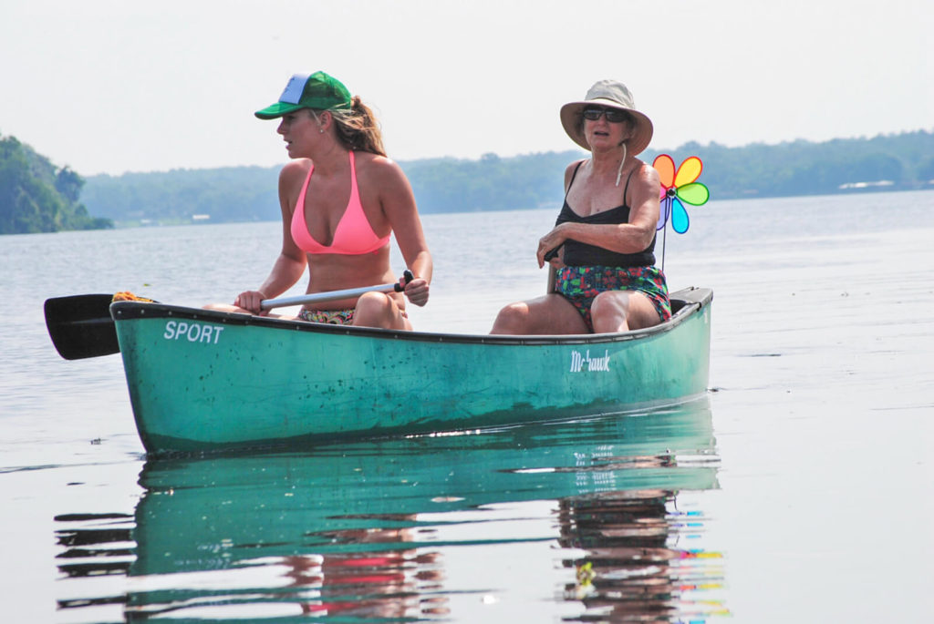
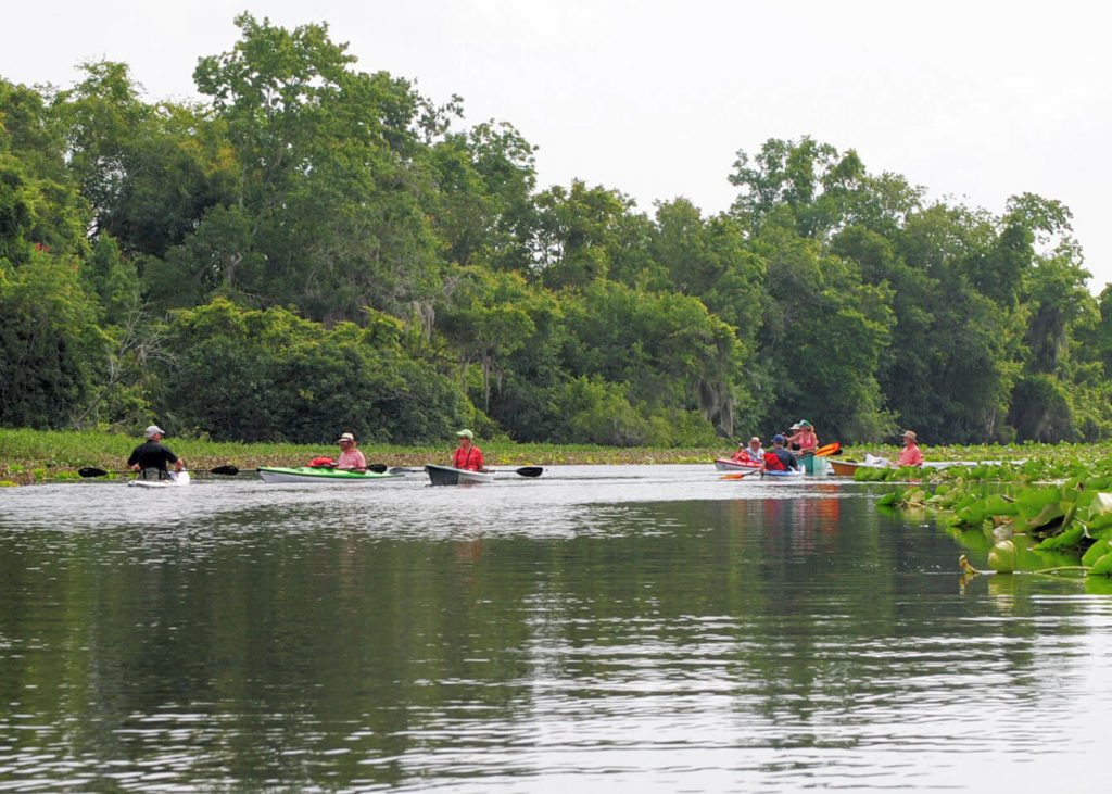
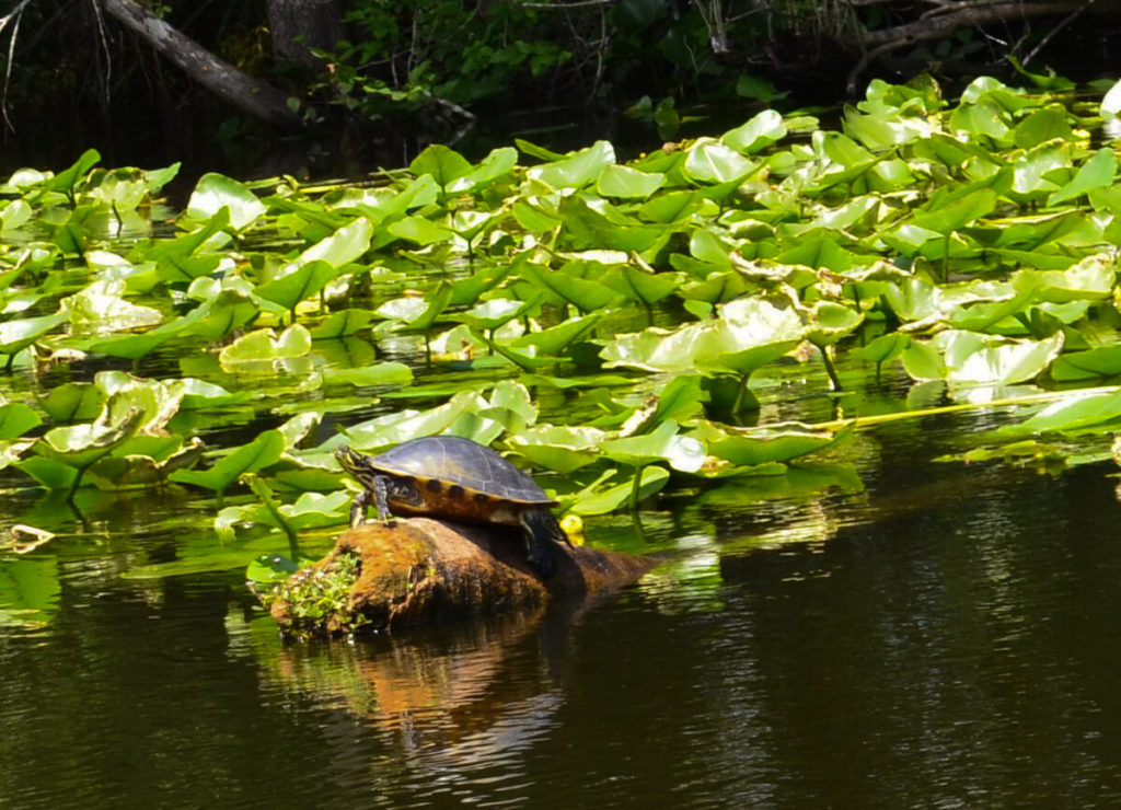
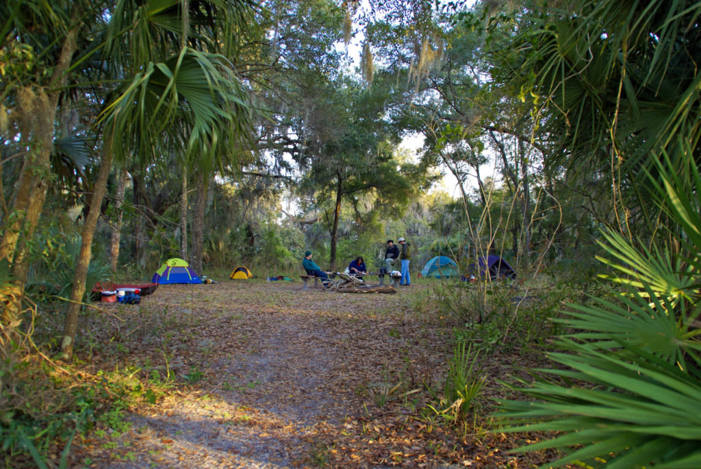
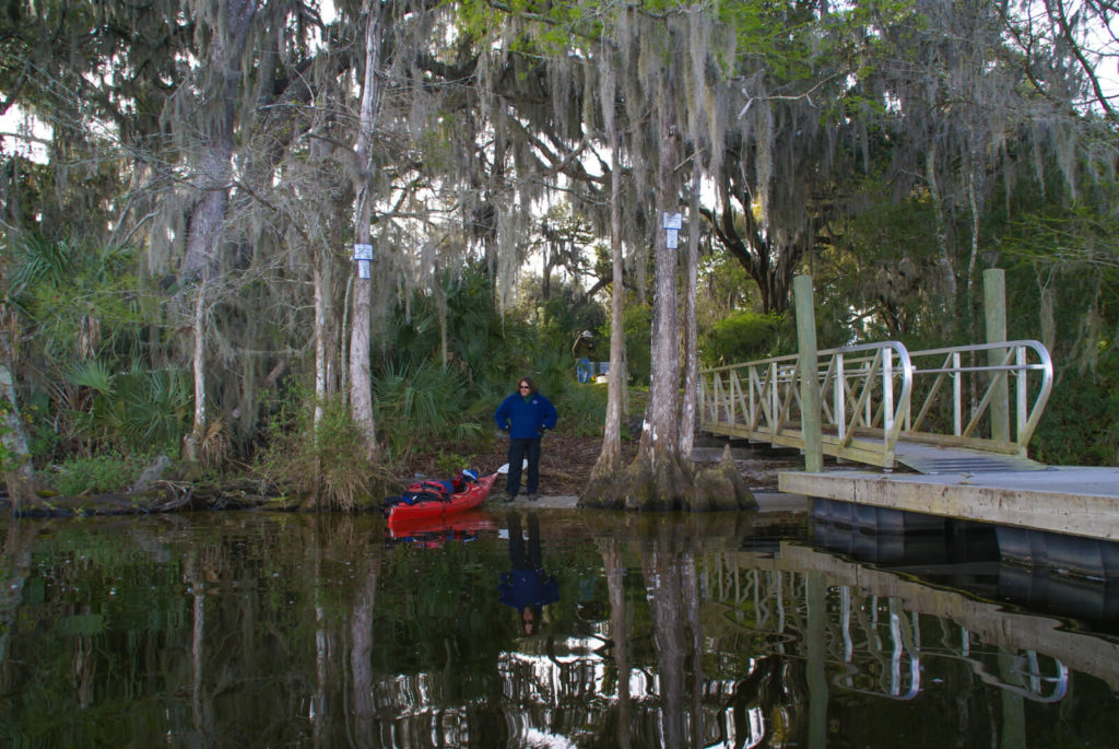
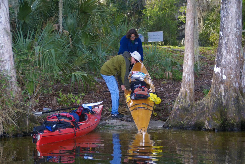
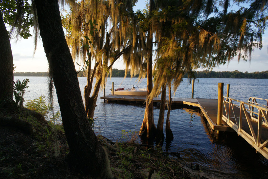
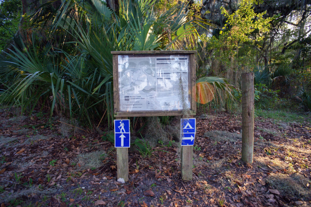
Bartram Trail Site Marker 11 is located at the dock on the north side of Murphy Island and can only be reached by water. The nearest launch site is Putnam County’s Browns Landing Boat Ramp located one mile east of the Site Marker on the west (albeit north at this location) shore of the River. A second launch site is located on the east shore of the River at the foot of the US17 Bridge at Dunns Creek. This launch is unimproved and is approximately a 2.5 mile paddle from the site (Figure 4). BTS 11 is within the Murphy Creek Conservation area, owned and maintained by the St. Johns River Water Management District. The public dock provides easy River access and the shoreline is a suitable soft landing for paddle craft. There is a primitive campsite and crude bathroom near the dock and landing. The Island has more than six miles of hiking trails. If planning a hike on the Island, it is advisable to apply insect repellant to discourage tick infestations. More information about the Conservation Area can be found in the District’s Recreation Guide and online here.
William Bartrams Travels – May 1774
Page 95
THE remaining old habitations, are mouldering to earth, except the mansion house, which is a large frame building, of Cypress wood, yet in tolerable repair, and inhabited by an overseer and his family. There is also a black-smith with his shop and family, at a small distance from it. The most valuable district belonging to Mr. Rolle’s grant, lies on Dunn’s lake, and on a little river, which runs from it into St. Juan. This district consists of a vast body of rich swamp land, fit for the growth of Rice, and some very excellent high land surrounding it. Large swamps of excellent rice land are also situated on the West shore of the river, opposite to Charlotia.
THE aborigines of America, had a very great town in this place, as appears from the great tumuli, and conical mounts of earth and shells, and other traces of a settlement which yet remain. There grew in the old fields on these heights great quantities of Callicarpa and of the beautiful shrub Annona: the flowers of the latter are large, white and sweet scented.
Page 96
HAVING obtained from the people here, directions for discovering the little remote island, where the traders and their goods were secreted, which was about seven miles higher up, I sat sail again, with a fair wind, and in about one hour and an half, arrived at the desired place, having fortunately taken the right channel of the river, amongst a multitude of others, occasioned by a number of low swampy islands. But I should have ran by the landing, if the centinels had not, by chance seen me drawing near them; and who perceiving that I was a whiteman, ventured to hail me; upon which I immediately struck sail, and came too. Upon my landing they conducted me to their encampment, forty or fifty yards from the river, in an almost impenetrable thicket. Upon my inquiry, they confirmed the accounts of the amicable treaty at St. Augustine, and in consequence thereof, they had already removed great part of the goods, to the trading-house, which was a few miles higher up, on the Indian shore. They shewed me my chest, which had been carefully preserved, and upon inspection I found every thing in good order. Having learned from them, that all the effects would, in a few days time, be removed to the store-house, I bid adieu to them, and in a little time, arrived at the trading-house, where I was received with great politeness, and treated during a residence of several months, with the utmost civility and friendship, by Mr. C. M’Latche, Messrs. Spalding and Kelsall’s agent.
William Bartrams Report – May 1774 Page 146
Next day got about 30 Miles, staid this Night at Villa Role. This place was settled about twelve years ago by D. Role Esqr. The situation is very high & pleasant. St. Johns being much narrower here than any where below, & very deep, here are only a few People that has the care of the houses & Stock belonging to Mr. Role. this place is at present in a ruinous state; tho I think a very proper & agreeable situation for a Town. It is about Ninety miles above the mouth of the River, & 35 Miles by land to St. Augustine. Sett off soon in morning, past by two Indian Settlements on the west side of the River; they observed me as I passt along, but offered no incivilities, called at the Camp on the Island, where the effects belonging to the Store were deposited under the Care of several Traders, got to the lower Store this even where I was friendly received by Mr. McLatchy Agent.”
December 26, 1765 Journal Entry
“Thermometer temperate, fine day, wind south. Excellent swamps on both sides of the river, some 2 or 3 miles deep; landed on Dunn’s Island on a large snail shell ridge, the adjacent swamp excellent, and the middle ground rich for corn, turkeys and alligators plenty, saw a middling sized Indian tumulus, 20 yards diameter and 6 or 8 foot high; arrived soon at Spalding’s Lower-store, on the west-side of the river, 37 miles from Picolata and 50 from Latchaway, an inland Indian town, near half the way pine-land and palmetto-ground: It is generally affirmed, that the soil at Latchaway is excellent, and produceth good corn and rich pasture; we encamped on a bluff in the pine-land, over-against a rich little island.”
January 26, 1766 Journal Entry
“Fine morning, warm and pleasant; observed a plum-tree in full blossom; here I saw many pine-trees, that had lately been cut down, and though 18 inches in diameter, they were the greatest part sap; I counted their years growth, and found some to be about 50, some 40, and others 30, but one large tree two foot in diameter, had only four inches of sap, and I counted 130 years growth or red circles; here was a well dug on declining ground, the water, which was sweet, rose to within 5 or 6 foot of the surface of the ground, at the distance of 100 yards from the river, and perhaps eight foot above it.
“We rowed four miles down the river to Dunn’s Island, which Lord Adam Gordon has petitioned for; it contains about 1500 acres more or less of good swamp, and some hammock. We then took the right-hand creek up to Dunn’s lake, observing much good swamp on both sides, the creek being generally 150 yards broad, and two fathom deep; on the west side there is two points of low land, which comes close to the creek: About noon we entered the lake, whose general course is N.W. and S.E. and about 15 miles long, the upper end turns towards the east: We encamped on the north side in a cypress-swamp, part of it marshy, its bank next the lake was a foot above the water, but back was lower until the pine-lands began within half a mile; this north side is generally a narrow cypress-swamp to the pines, widening a little in some branches.”
Travels
Bartram, William. Travels Through North & South Carolina, Georgia, East & West Florida, the Cherokee Country, the Extensive Territories of the Muscogulges, or Creek Confederacy, and the Country of the Chactaws; Containing An Account of the Soil and Natural Productions of Those Regions, Together with Observations on the Manners of the Indians. Embellished with Copper-Plates. James and Johnson Publishers. 1791. Electronic Edition.
http://docsouth.unc.edu/nc/bartram/bartram.html
Harper, Francis, ed. The Travels of William Bartram, Naturalist’s Edition. Yale University Press. New Haven. 1958.
Report
Bartram, William. Annotated by Francis Harper. Travels in Georgia and Florida, 1773-74; a report to Dr. John Fothergill. Annotated by Francis Harper. Transactions of the American Philosophical Society, n.s., Vol. XXXIII, Pt. II. Philadelphia, PA, 1943.
http://babel.hathitrust.org/cgi/pt?id=mdp.39015021105773#view=1up;seq=7
The Journal
Florida History Online “John Bartram’s Travels on the St. Johns River, 1765-1766.” May 2013.
http://www.unf.edu/floridahistoryonline/Projects/Bartram.html
http://www.unf.edu/floridahistoryonline/Bartram/December_1765/26dec1765.htm
http://www.unf.edu/floridahistoryonline/Bartram/January_1766/26-27jan1766.htm
Bartram, John. Diary of a Journey through the Carolinas, Georgia, and Florida, from July 1, 1765, to April 10, 1766, annotated by Francis Harper. Transactions of the American Philosophical Society, n.s., Vol. XXXIII, Pt. I. Philadelphia, PA, 1942.
Additional References
Florida History Online. New World in a State of Nature; British Plantations and Farms on the St. Johns River, East Florida 1763-1784. May 2013
http://www.unf.edu/floridahistoryonline/Projects/Plantations.html
Bruce, F.W. Assistant Engineer, US Army Corps of Engineers. St. Johns River to Lake Harney, Florida. 1908. The Portal to Texas History. University of North Texas. Nautical Chart of the St. Johns River.
http://texashistory.unt.edu/ark:/67531/metapth187523/m1/1/zoom/
Florida Museum of Natural History. Florida Naturalists. William Bartram. Book of Travels. May 2013
