21 Mount Royal
Putnam County

YE vigilant and faithful servants of the Most High! ye who worship the Creator, morning, noon and eve, in simplicity of heart; I haste to join the universal anthem. My heart and voice unite with yours, in sincere homage to the great Creator, the universal sovereign.
John and William Bartram
The Route
The Bartrams visited this site on both their upstream and downstream journeys on the St. Johns River. On December 28, 1765, John Bartram’s party left their campsite at Johnson’s Bluff and continued up the St. Johns. After a brief stop at Mount Hope a few miles south of their campsite, they continued up-river to a second mound here at Mount Royal (Figure 1A). After exploring the area, they returned to their battoe and proceeded south to present-day Georgetown and set up camp opposite Drayton Island another 4 miles along the eastern shoreline (Figure 1b).
Although the upstream route from Mount Hope to Mount Royal passes by Mud Creek and its source Mud Spring which enters the river on eastern side of Little Lake George between Beecher Point and Orange Point, no mention is made in the Journal of their having seen this noteworthy spring. This suggests that instead of hugging the shoreline of Little Lake George, they undoubtedly made a direct crossing from Mount Hope to Orange Point without bothering to enter Mud Creek Cove (Figure 2). This may well have been due to the northeast wind mentioned in John’s Journal, or their desire to reach Mount Royal expeditiously.
On January 25, 1766 the Bartrams again stopped at Mount Royal having completed their southern explorations of the St. Johns River. They had camped the previous night on Bryan’s Island – present-day Drayton Island – and by noon, arrived at Mt. Royal five miles to the north. After spending some time exploring the mound and the surrounding area, they returned to their vessel and proceeded to row downstream to Spalding’s lower Store, a distance of 12.6 mile (Figure 3).
The Site
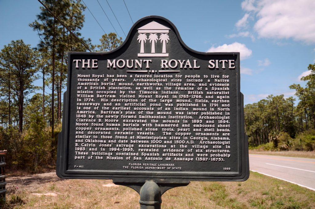
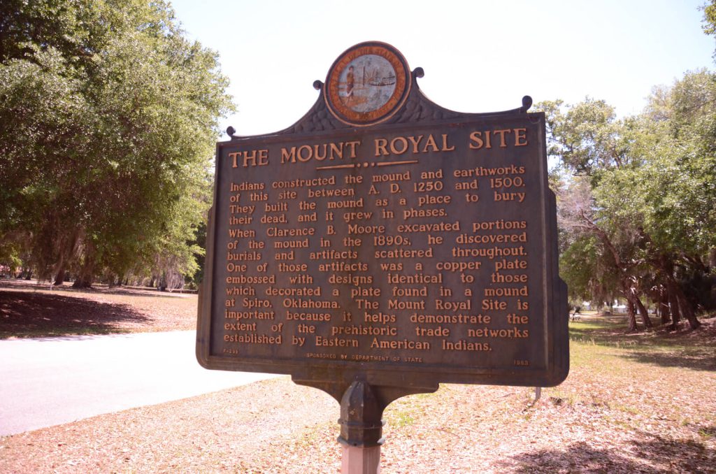
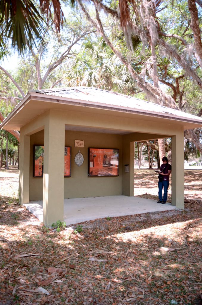
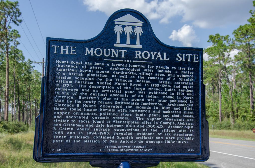
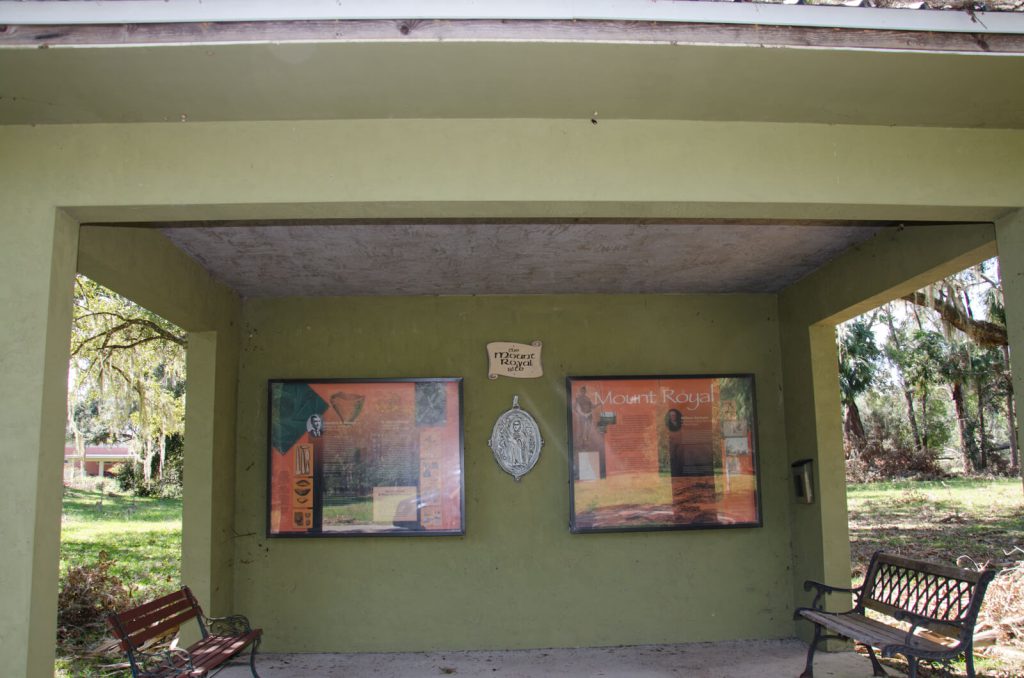
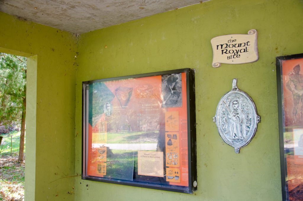
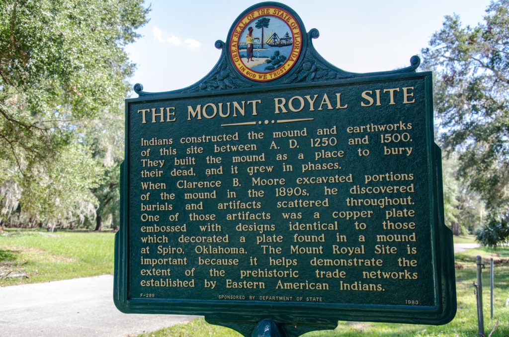
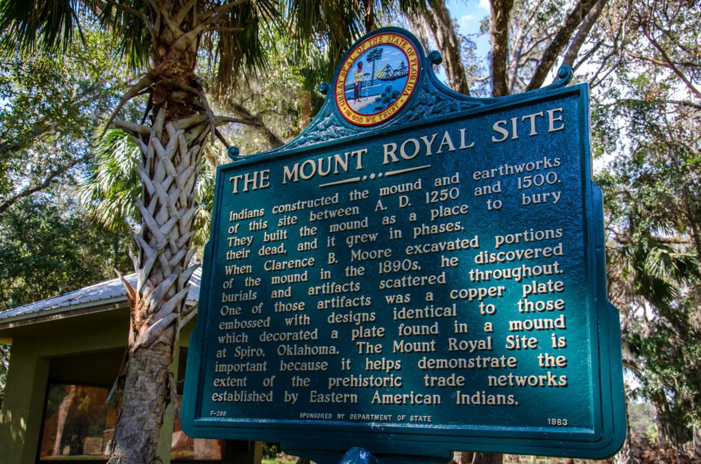
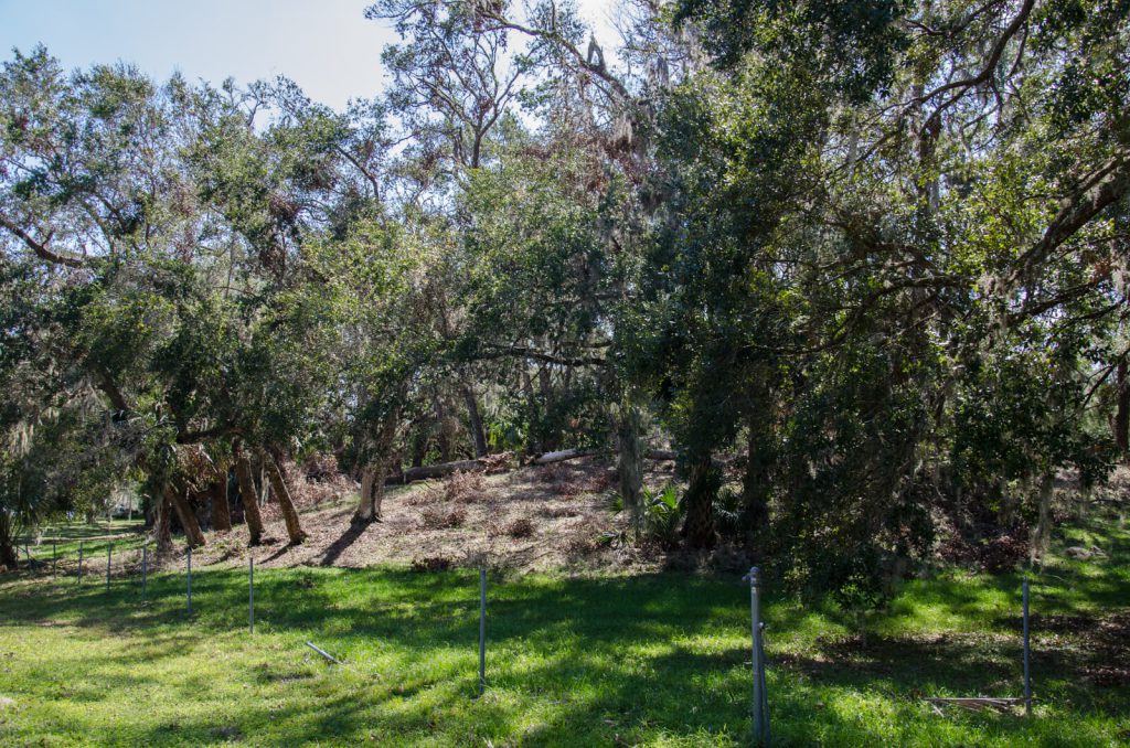
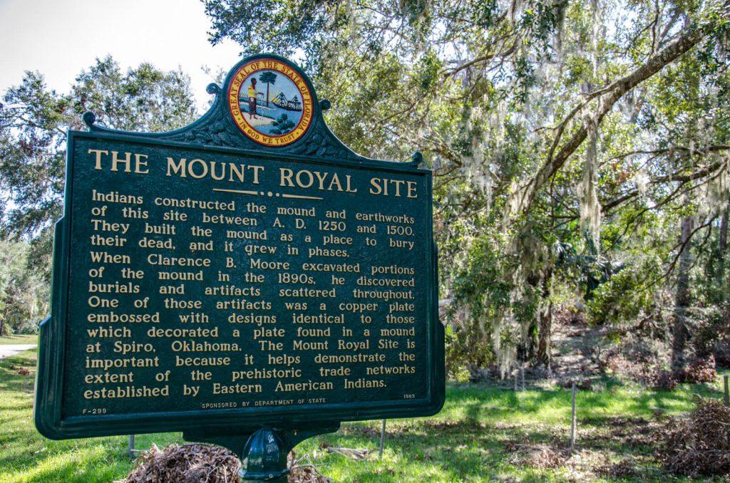
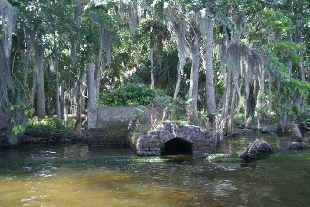
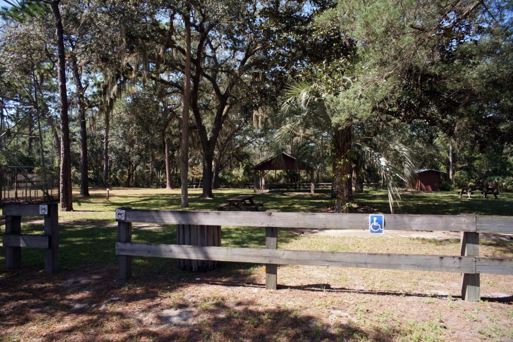
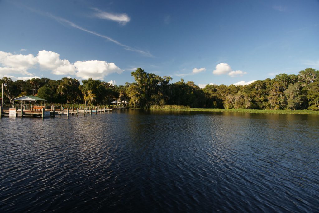
Mount Royal received its name from the tall Indian mound the Bartram’s witnessed at this site. It was an impressive sight; sufficient to lure the group back for further exploration and surveys on their return trip. A mound still exists and, to this day, rises high above the surrounding terrain. Despite the mound having been completely excavated and then recreated during the 19th Century, mature oaks grow from the top of the mound as they did when the Bartrams visited two and a half centuries ago. There is an historical marker and an information kiosk at the site and can be reached easily by road. Unfortunately, despite the presence of a State-designated historical site, a locked gate at the entrance of the Subdivision prevents public access of the historical site. Likewise, there is a boat ramp on the River near the mound, however it is a private ramp for the exclusive use of the residents of Mount Royal Airpark Subdivision. The hike from the boat ramp near the mouth of Beecher Spring Run to the information kiosk is half a mile (Figure 4). It is not unlikely that the Bartrams went ashore near the designated coordinates (A) for this location near the mouth of the spring run would have made a handy landmark for the River travelers. Although it is possible that the Bartrams went ashore to find the source of the discharge, it is more likely that they had previous knowledge of the impressive mound (Coordinates B) and had gone ashore in search of it since it is not visible from the River.
William Bartram
William visited Mt. Royal several times during his travels up and down the St. Johns River both with his father and during his solo trip. Travels describes two upstream trips with stops at Mount Royal. In this account he describes his first stop at Mt. Royal during his upstream journey to Lake Beresford. He camped for the night and spent some time in meditation atop the mound which he describes as having been remarkably preserved by its current resident (Mr. Kean). In this account, he describes the mount as being fifty yards from the river, however in his Report (p. 151), the distance given is twice that. Presently, the mound is nearly three hundred yards from the River’s closest approach. Upon his return trip north, he said that he again called at Mt. Royal but makes no mention of having camped or made any further exploration of the site.
He also describes two stops at Mount Royal during his six-day jaunt up the River from Spalding’s Lower Store late in the autumn just prior to his departure from Florida. This brief account is contained in Chapter VIII, Part II of Travels. On this occasion, William again camped at Mount Royal during his southbound journey but only “called” at the site on his return trip. There is no detailed discussion of the site or his activities there in this chapter of the book.
Bartram’s Report describes having stayed the night at Mt. Royal on three occasions. In that document, he describes spending nights at Mt. Royal on both of his southbound trips up the St. Johns and on his first return trip north to the Lower Store (Pages 150, 154 and 161). On his first trip he describes spending two consecutive nights at Mt. Royal due to a storm which made continuing upstream impossible on the second day.
The routes William took to and from Mt. Royal most likely followed that of his father on his return trip from the St. Johns River’s Upper Basin in January of 1766 (Figure 3) which passed both east and west of Drayton Island.
Bartram Trail Marker 21 is situated at the end of the privately owned dock of the Mount Royal Airpark Subdivision on the east shore of the St. Johns River. The Marker is clearly visible from the water and the River provides its only public access. Access to the mound is presently limited to prearranged group visits. The Bartram Trails of Putnam County Committee is working to secure individual routine public access by both land and water. At present, the most convenient access to the marker by water is from two publicly accessible commercial boat ramps, the first is one mile north at the Fort Gates Ferry landing and the other at Renegades on the River .6 mile south (Figure 4).
Bartrams’s Travels
Page 98
THE company for Alachua, were to set off in about a month. That to Little St. Juan, in July, which suited me exceedingly well, as I might make my tour to the upper store directly, that part of the country being at this season, enrobed in her richest and gayest apparel.
ABOUT the middle of May, every thing being in readiness, to proceed up the river, we sat sail. The traders with their goods in a large boat, went ahead, and myself in my little vessel followed them; and as their boat was large, and deeply laden, I found that I could easily keep up with them, and if I chose, out-sail them; but I preferred keeping them company, as well for the sake of collecting what I could from conversation, as on account of my safety in crossing the great lake, expecting to return alone, and descend the river at my own leisure.
WE had a pleasant day, the wind fair and moderate, and ran by Mount Hope, so named by my father John Bartram, when he ascended this river, about fifteen years ago. It is a very high shelly bluff, upon the little lake. It was at that time a fine Orange grove, but now cleared and converted into a large Indigo plantation, the property of an English gentleman, under the care of an agent. In the evening we arrived at Mount Royal, where we came to, and stayed all night: we were treated with great civility, by a gentleman whose name was—- Kean, and had been an Indian trader.
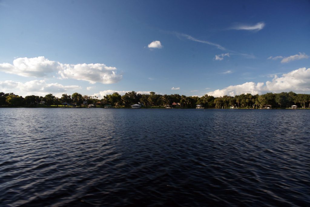
FROM this place we enjoyed a most enchanting prospect of the great Lake George, through a grand avenue, if I may so term this narrow reach of the river, which widens gradually for about two miles,
Page 99
towards its entrance into the lake, so as to elude the exact rules of perspective and appears of an equal width.
AT about fifty yards distance from the landing place, stands a magnificent Indian mount. About fifteen years ago I visited this place, at which time there were no settlements of white people, but all appeared wild and savage; yet in that uncultivated state, it possessed an almost inexpressible air of grandeur, which was now entirely changed. At that time there was a very considerable extent of old fields, round about the mount; there was also a large Orange grove, together with Palms and Live Oaks, extending from near the mount, along the banks, downwards, all of which has since been cleared away to make room for planting ground. But what greatly contributed towards compleating the magnificence of the scene, was a noble Indian highway, which led from the great mount, on a strait line, three quarters of a mile, first through a point or wing of the Orange grove, and continuing thence through an awful forest, of Live Oaks, it was terminated by Palms and Laurel Magnolias, on the verge of an oblong artificial lake, which was on the edge of an extensive green level savanna. This grand highway was about fifty yards wide, sunk a little below the common level, and the earth thrown up on each side, making a bank of about two feet high. Neither nature nor art, could any where present a more striking contrast, as you approach this savanna. The glittering water pond, plays on the sight, through the dark grove, like a brilliant diamond, on the bosom of the illumined savanna, bordered with various flowery shrubs and plants; and as we advance into the plain, the
Page 100
sight is agreeably relieved by a distant view of the forest, which partly environ the green expanse, on the left hand, whilst the imagination is still flattered and entertained by the far distant misty points of the surrounding forests, which project into the plain, alternately appearing and disappearing, making a grand sweep round on the right, to the distant banks of the great lake. But that venerable grove is now no more. All has been cleared away and planted with Indigo, Corn and Cotton, but since deserted: there was now scarcely five acres of ground under fence. It appeared like a desart, to a great extent, and terminated, on the land side, by frightful thickets, and open Pine forests.
IT appears however, that the late proprietor had some taste, as he has preserved the mount, and this little adjoining grove inviolate. The prospect from this station is so happily situtated by nature, as to comprise at one view, the whole of the sublime and pleasing.
AT the reanimating appearance of the rising sun, nature again revives; and I obey the chearful summons of the gentle monitors of the meads and groves.
YE vigilant and faithful servants of the Most High! ye who worship the Creator, morning, noon and eve, in simplicity of heart; I haste to join the universal anthem. My heart and voice unite with yours, in sincere homage to the great Creator, the universal sovereign.
O MAY I be permitted to approach the throne of mercy! may these my humble and penitent supplications, amidst the universal shouts of homage, from thy creatures, meet with thy acceptance.
Page 101
AND although, I am sensible, that my service, cannot encrease, or diminish thy glory, yet it is pleasing to thy servant, to be permitted to sound thy praise; for O sovereign Lord! we know that thou alone art perfect, and worthy to be worshiped. O universal Father! look down upon us we beseech thee, with an eye of pity and composition, and grant that universal peace and love, may prevail in the earth, even that divine harmony, which fills the heavens, thy glorious habitation.
AND O sovereign Lord! since it has pleased thee to endue man with power, and pre-eminence, here on earth, and establish his dominion over all creatures, may we look up to thee, that our understanding may be so illuminated with wisdom and our hearts warmed and animated, with a due sense of charity, that we may be enabled to do thy will, and perform our duty towards those submitted to our service, and protection, and be merciful to them even as we hope for mercy.
THUS may we be worthy of the dignity, and superiority of the high, and distinguished station, in which thou hast placed us here on earth.
THE morning being fair, and having a gentle favourable gale, we left our pleasant harbour, in pursuit of our desired port.
NOW as we approach the capes, behold the little ocean of Lake George, the distant circular coast gradually rising to view, from his misty fringed horizon. I cannot entirely suppress my apprehension of danger. My vessel at once diminished to a nut-shell, on the swelling seas, and at the distance of a few miles, must appear to the surprised
Page 102
observer, as some aquatic animal, at intervals emerging from its surface. This lake is a large and beautiful piece of water ; it is a dilatation of the river St. Juan, and is about fifteen miles wide, and generally about fifteen or twenty feet deep, excepting at the entrance of the river, where lies a bar, which carries eight or nine feet water. The lake is beautified with two or three fertile islands. The first lies in the bay, as we ascend into the lake, near the West coast, about S. W. from Mount Royal, from whence it appears to form part of the West shore of the bay. The second island seems to ride on the lake before us as we enter, about a mile within it. This island is about two miles in breadth, and three quarters of a mile where broadest, mostly high land, well timbered, and fertile. The third and last, lies at the South end of the lake, and near the entrance of the river; it is nearly circular, and contains but a few acres of land, the earth high and fertile, and almost an entire Orange grove, with grand Magnolias and Palms.
SOON after entering the lake, the wind blew so briskly from the West, and thunder-clouds gathering upon the horizon, we were obliged to seek a shelter, from the approaching tempest, on the large beautiful island, before mentioned. Where, having gained the South promontory, we met with an excellent harbour, in which we continued the remaining part of the day and the night. This circumstance gave me an opportunity to explore the greatest part of it.
Page 168
THE sun passing below the horizon, and night approaching, I arose from my seat, and proceeding on arrived at my camp, kindled my fire, supped and reposed peaceably. And rising early, employed the fore part of the day in collecting specimens of growing roots and seeds. In the afternoon, left these Ellisian springs and the aromatic graves, and briskly descend the pellucid little river, re-entering the great lake; the wind being gentle and fair for Mount Royal, I hoisted sail and successfully crossing the N. West bay, about nine miles, came to at Rocky Point, the West cape or promontory, as we enter the river descending towards Mount Royal:
Page 169
these are horizontal slabs or flat masses of rocks, rising out of the lake two or three feet above its surface, and seem an aggregate composition or concrete of sand, shells and calcarious cement; of a dark grey or dusky colour; this stone is hard and firm enough for buildings, and serve very well for light hand mill-stones; and when calcined affords a coarse lime; they lay in vast horizontal masses upon one another, from one to two or three feet in thickness, and are easily seperated and broke to any size or form, for the purpose of building. Rocky Point is an airy cool and delightful situation, commanding a most ample and pleasing prospect of the lake and its environs; but here being no wood, I re-embarked and sailed down a little farther to the island in the bay, where I went on shore at a magnificent grove of Magnolias and Oranges, desirous of augmenting my collections. Arose early next morning, and after ranging the groves and savannas, returned, embarked again, and descending, called at Mount Royal, where I enlarged my collections; and bidding adieu to the gentleman and lady, who resided here, and who treated me with great hospitality on my ascent up the river; arrived in the evening at the lower trading house.
December 28, 1765 Journal Entry
“Set out from Johnson’s Bluff; foggy morning, wind N.E. thermometer 56. Came in a few miles to Mount Hope, at the entrance of a little lake, the east and south-side of which is pine-land, reaching to Johnson’s Bluff, except a point of good swamp: Mount Hope is 50 yards long and 30 wide; near 20 foot high, composed all of fresh water snail and muscle-shells of various dimensions, the small ones drove into the large, and the broken and powdered ones into the interstices of both; these are very fertile soils as far as the shells reach, and if not the only, yet the common planting grounds of the former Florida Indians, as is proved by the numerous pieces of broken Indian pots scattered all over all these shelly bluffs, and the vestiges of the corn hills still remaining, although many pretty large live oaks, red-cedars, and palms, now grow upon them: the west wind hath a long and full stroke against this mount, which perhaps raised it to that height: Saw many alligators, and killed one; ‘tis certain that both jaws open by a joint nearly alike to both: Here and near the river’s bank grows the short-poded gleditsia, elm and black-ash, with most of the South-Carolina plants[.]
“Landed at Mount-Royal, where there are 50 acres of cleared old fields, fine oranges in the woods, and a fine spring issuing out above a mile from the river, making a stream big enough to turn a mill, on the back of which the pine-lands begin: the bank and for 50 yards back is composed of sandy soil mixed with snail-shells, which for a foot or more thick is indurated to a soft rock, from which a fine south prospect opens to the great lake (the river here is above half a mile wide) near the entrance of which is a large island[.]
“Encamped on the east-side of the river opposite to the island, from whence we heard a bear roaring in the night; we lay on a low bluff of snail-shells, amongst plenty of bitter-sweet oranges, next in goodness to the China, and here the woods are full of them; we walked back over a dry kind of rich swamp full of shells mixed with black tenacious mud, under which is a white tenacious clay or marl, and in about 400 yards came to rising ground, pretty rich, and good corn-land, then to palmetto yet blackish soil, then to whitish, in which grew pines, then savannahs and ponds, which are interspersed generally in the pine-lands in most part of the southern provinces, together with the cypress and bay-swamps, and have for the most part good feeding round their borders. This rich swamp terminated at the bend of the river where the pine-land reaches close to its banks; so that the banks of this fine river are a continual alternate change of pine-land, bluffs, cypress, swamps, marshes, and rich ash, and maple-swamps: the hammocks of live-oaks and palmettos are generally surrounded either with swamp or marsh; sometimes the deep rich swamps are 2 or 3 miles deep from the river to the pines, and reach along the river from one mile to 4, 5, or 6 at uncertain depths. These swamps are supposed to be the best rice-grounds, as neither the dry weather nor wet can hurt them so much as where there is no water in dry times, and in wet there is too much, for this is rarely overflowed but in spring-tides, and these will always keep them wet enough in the dryest seasons, especially below the great lake.”
January 25, 1766 Journal Entry
“Fine pleasant morning, although a little frost in the pine-lands; saw several flocks of pigeons flying about both yesterday and to-day: About noon we landed at Mount-Royal, and went to an Indian tumulus, which was about 100 yards in diameter, nearly round, and near 20 foot high, found some bones scattered on it, it must be very ancient, as live-oaks are growing upon it three foot in diameter; what a prodigious multitude of Indians must have laboured to raise it? To what height we can’t say, as it must have settled much in such a number of years, and it is surprizing where they brought the sand from, and how, as they had nothing but baskets or bowls to carry it in; there seems to be a little hollow near the adjacent level on one side, though not likely to raise such a tumulus the 50th part of what it is, but directly north from the tumulus is a fine straight avenue about 60 yards broad, all the surface of which has been taken off, and thrown on each side, which makes a bank of about a rood wide and a foot high more or less, as the unevenness of the ground required, for the avenue is as level as a floor from bank to bank, and continues so for about three quarters of a mile to a pond of about 100 yards broad and 150 long N. And S. Seemed to be an oblong square, and its banks 4 foot perpendicular, gradually sloping every way to the water, the depth of which we could not say, but do not imagine it deep, as the grass grows all over it; by its regularity it seems to be artificial; if so, perhaps the sand was carried from hence to raise the tumulus, as the one directly faces the other at each end of the avenue; on the south side of the tumulus I found a very large rattle-snake sunning himself, I suppose this to be his winter-quarters; here had formerly been a large Indian town; I suppose there is 50 acres of planting ground cleared and of a middling soil, a good part of which is mixed with small shells; no doubt this large tumulus was their burying-place or sepulchre: Whether the Florida Indians buried the bones after the flesh was rotted off them, as the present southern Indians do, I can’t say: We then rowed down the river, and encamped at Spalding’s Lower-store, opposite to a small rich island on the west side of the river.”
Links and References
Travels
Bartram, William. Travels Through North & South Carolina, Georgia, East & West Florida, the Cherokee Country, the Extensive Territories of the Muscogulges, or Creek Confederacy, and the Country of the Chactaws; Containing An Account of the Soil and Natural Productions of Those Regions, Together with Observations on the Manners of the Indians. Embellished with Copper-Plates. James and Johnson Publishers. 1791. Electronic Edition.
http://docsouth.unc.edu/nc/bartram/bartram.html
Harper, Francis, ed. The Travels of William Bartram, Naturalist’s Edition. Yale University Press. New Haven. 1958.
Report
Bartram, William. Annotated by Francis Harper. Travels in Georgia and Florida, 1773-74; a report to Dr. John Fothergill. Annotated by Francis Harper. Transactions of the American Philosophical Society, n.s., Vol. XXXIII, Pt. II. Philadelphia, PA, 1943.
http://babel.hathitrust.org/cgi/pt?id=mdp.39015021105773#view=1up;seq=7
The Journal
Florida History Online “John Bartram’s Travels on the St. Johns River, 1765-1766.” May 2013.
http://www.unf.edu/floridahistoryonline/Projects/Bartram.html
http://www.unf.edu/floridahistoryonline/Bartram/December_1765/28dec1765.htm
http://www.unf.edu/floridahistoryonline/Bartram/January_1766/25jan1766.htm
Bartram, John. Diary of a Journey through the Carolinas, Georgia, and Florida, from July 1, 1765, to April 10, 1766, annotated by Francis Harper. Transactions of the American Philosophical Society, n.s., Vol. XXXIII, Pt. I. Philadelphia, PA, 1942.
Additional References
Florida History Online. New World in a State of Nature; British Plantations and Farms on the St. Johns River, East Florida 1763-1784. May 2013
http://www.unf.edu/floridahistoryonline/Projects/Plantations.html
Bruce, F.W. Assistant Engineer, US Army Corps of Engineers. St. Johns River to Lake Harney, Florida. 1908. The Portal to Texas History. University of North Texas. Nautical Chart of the St. Johns River.
http://texashistory.unt.edu/ark:/67531/metapth187523/m1/1/zoom/
Florida Museum of Natural History. Florida Naturalists. William Bartram. Book of Travels. May 2013
http://www.flmnh.ufl.edu/naturalists/bartramw03.htm#f
Trail Of Florida’s Indian Heritage.
