07 Fort San Francisco de Pupo
Clay County
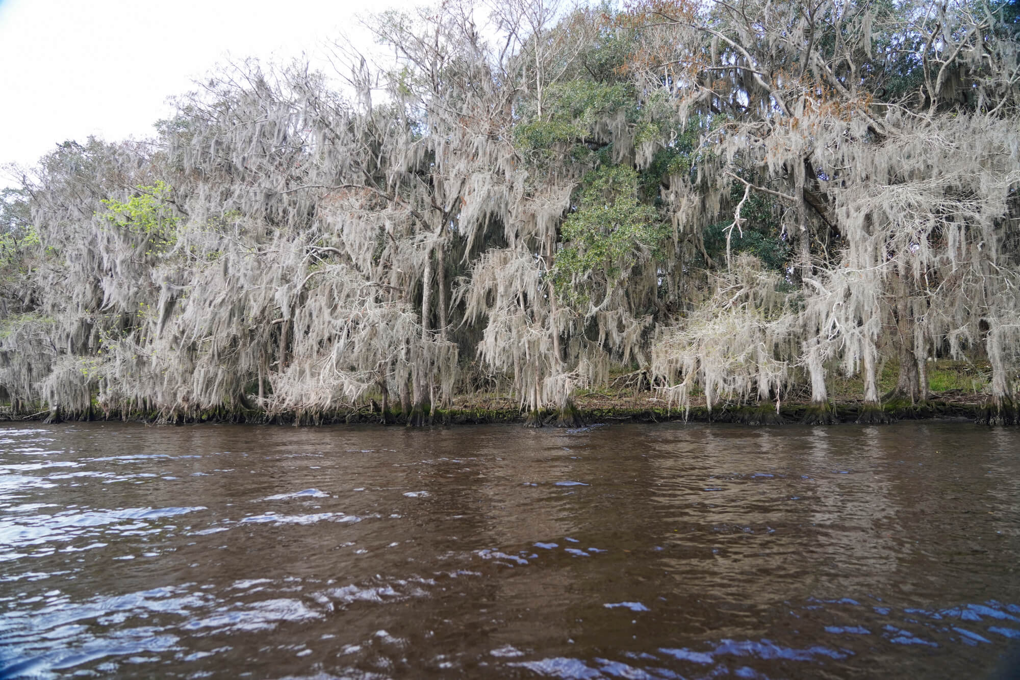
Landed at Popa fort, a small shallow entrenchment almost filled up with length of time..
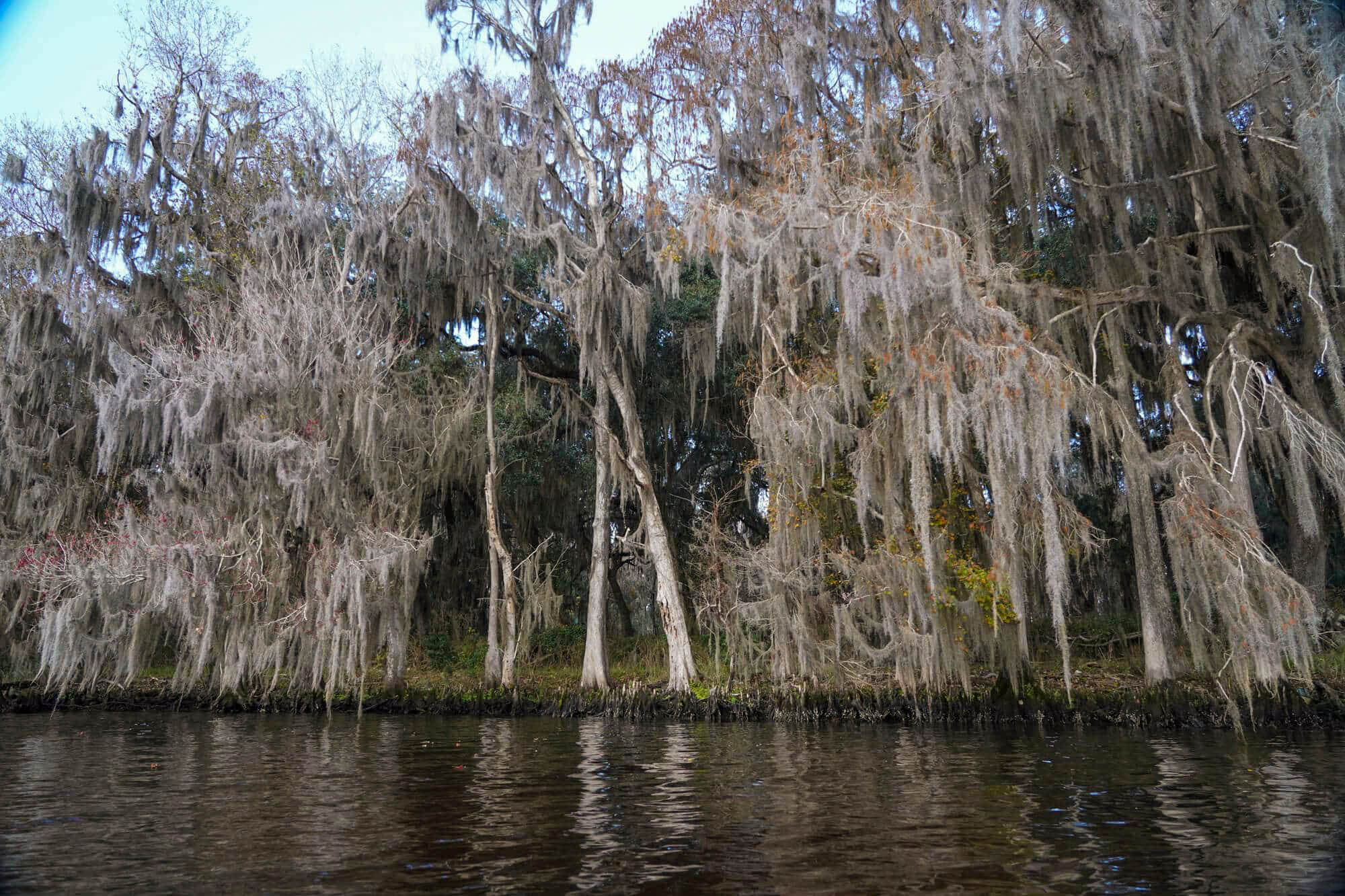


Few Bartram sites in Florida are as widely contested as is the site of the remains of the old Spanish fort visited by John and William Bartram on February 2, 1766. The site of the fort is described in John’s Journal in sufficient detail to determine that the location he described is clearly present-day Popo Point on the east shore of the St. Johns River, just north of the Shands Bridge. This location is, as John Bartram described, directly east of Governors Creek and southwest of Black Creek. This agrees with every aspect of the route described on that day as well, on the east shore north of Fort Picolata.
These entries in John’s Journal have led many historians (Francis Harper included) and Bartram researchers to assume that there must have been a fort at Popo Point, all references to which have been lost over time, and that there are no historical records of it other than this entry in John’s Journal.
Were these the only details given in John’s Journal on this day, there would be little doubt about the location of the site and the fort remnants, which have since disappeared. However, John provides more details about the fort, including its proximity to the St. Johns River, the dimensions of two entrenchments, still visible, and perhaps most importantly, the name of the fort – Popa, at which they landed.
The description of the remains of the fort, consisting of two entrenchments, the first 20 yards square and as many from the River, and the second a few yards back and twice as large, is a perfect description of what would have remained of Fort San Francisco de Pupo in 1766. Fort de Pupo on the west shore of the St. Johns was the sister fort of Fort Picolata on the east shore, both of which were constructed to protect the landings for boats crossing the St. Johns River on the trade route from St. Augustine to Apalachicola.
Fort de Pupo was first constructed in 1734 and, in 1737, was described as a “sentry box 8’ in diameter built of boards, surrounded by a palisade.” It was replaced in 1738 with the structure shown on the “Plano y perfil del nuevo fortín de San Francisco de Pupo” (Plan and Profile of Fort San Francisco de Pupo), drafted by Engineer Pedro Ruiz de Olano. The plan is dated 1738, the year the fort was improved from its original 1734 design. (The defenses of Spanish Florida, 1565 to 1763. Verne E. Chatelain, 1941, p.164, note 85.)
The fort was attacked in 1738 and was subsequently enlarged into a 30-by-16 blockhouse surrounded by a timber-and-earth rampart. It was again attacked in December 1739 and captured in January 1740 by General Oglethorpe during his siege of St. Augustine. He had the fort reinforced with a second trench and rampart. which is visible today. The buildings that comprised the fort were destroyed when the British attack on St. Augustine failed, and the British retreated north back to Georgia, leaving only the entrenchments and breastworks to mark the fort’s location at the landing. John Bartram, making a landing at Fort de Pupo, nearly a quarter of a century later, would have observed those remnants, which were sufficiently preserved to be recorded on the USC&GS map of this area as a land feature and can still be seen today.
The statement in John’s Journal makes it plain that the expedition intentionally landed at “Popa fort” on this day. They did not make landfall at an unknown location, but rather at the specified location – Popa Fort. Fort de Pupo was “the landing” on the west bank of the St. Johns. It was along the most prominent trading route in East Florida and well known to its inhabitants, both European and Native.
Bartram identifies the landing visited on this day as the “Popa” fort. The failure of John’s Journal to accurately spell the Spanish name for Fort de Pupo is probably not of much consequence, given the many historic references where the Fort is alternately referred to as Fort Pupa, Fort Poppa, and Fort Pupe. Given John’s well-documented tendency to neither correctly nor consistently spell words in his diary and in the Journal, it is entirely likely that his spelling is just another variant that is a consequence of his poor spelling or a phonetic rendering of the name he was told by his guides.
It is worth noting that Dr. William Stork, who published John Bartram’s Journal as a part of his book Description of East Florida, in a later edition, included a map by Thomas Jefferies. This companion map to the same document that includes John’s Journal, clearly identifies Fort de Pupo (labeled Fort Poppa) situated on the west shore of the St. Johns River, in its rightful place opposite Fort Picolata. If the Journal’s readers were at all confused about the fort’s location, this map would certainly have provided the necessary clarification.
Finally, William Stork himself published a map of East Florida (undated) for the Commissioners of Trade and Plantations, which also shows Fort de Pupo (spelled “Poppa”) in its correct location on the west shore of the St. Johns. In all likelihood, the location of the fort was so well known at the time that the confusion caused contemporary readers by John’s entry on this day was not given so much as a second thought when published in 1767.
There is second reference to Fort Popa on page 183 of Bernard Roman’s book A concise natural history of East and West Florida, published in 1775. He identifies “the remains, or ruins of forts and towns along the road from St. Augustine to Apalachia,” specifically noting those “on each side of the St. Johns, Fort Picolata, Popa, and about seventy miles W.N.W of Popa, … Alachua”. This is a clear reference to Fort de Pupo, spelled Popa, and located in conjunction with Fort Picolata. Given the date of the Romans’ explorations of Florida relative to John Bartram’s expedition, this reference lends significant weight to the argument that the fort visited by John on this day was, indeed, de Pupo.
Francis Harper, in his Diary of a Journey through the Carolinas, Georgia, and Florida, from July 1, 1765, to April 10, 1766, annotated by Francis Harper, states that “unless there is some confusion in Bartram’s narrative, the “Popa Fort” here mentioned is not the old fort of “St. Francisco de Pupa” which is on the west side of the St. Johns opposite Fort Picolata. He goes on to state that he could find no other references to an old Spanish fort at Popo Point, and pointed out that another historian, Verne Chatelain, author of, quotes Bartram’s description as applying to Fort de Pupo. Chatelain was the author of The Defenses of Spanish Florida, 1565 to 1763, and arguably the expert on Spanish defenses during this era, and he makes no mention of a Spanish fort at Popo Point, nor of one named “Popa.”
While John Bartram may or may not have been confused, it is easy to see why his readers would be. It is far more likely that confusion was either inserted or generated when some text was omitted from John’s diary when it was transposed to his Journal or by editors of that document (perhaps Stork himself) during the publication process, which is a more likely explanation for the confusion.
With this evidence, it is left to the followers in the wake of John and William Bartram to decide for themselves whether two different sites were visited and the descriptions merged, or whether there was indeed a second fort that was visited by the members of the Expedition on February 2, 1766.
The Route
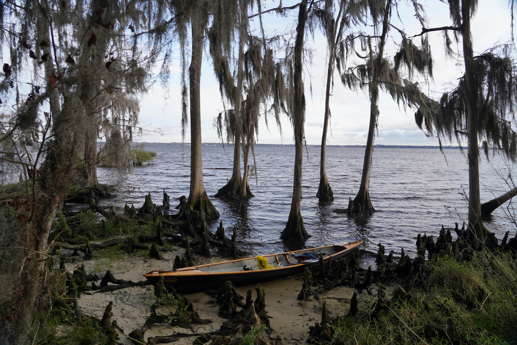
According to John’s Journal entry for February 2, 1766, the Bartrams departed from their camp on the east shore, downstream (north) of Fort Picolata and landed “at Popa Fort”, which they measured and described. The description of the site, relative to the west shore opposite the site, has always led researchers to believe that the fort was located at Popo Point on the east shore of the St. Johns opposite Governors Creek in Green Cove Springs.
After exploring the fort site, the Expedition crossed the River and entered Black Creek. They proceeded a short way up the Creek before landing at a bluff and a small spring where they camped that night.
It is likely, as explained above, that the description of the route taken this day is missing some details, including two crossings of the St. Johns on the morning of the 2nd. It appears that the party left their camp just north of Picolata and crossed the river to the well-known landing at Fort de Pupo, where they spent some time exploring the surrounding area. They returned to the River and proceeded downstream to present-day Popo Point, which would have necessitated a second river crossing. There, they made landfall again before crossing the River once more and continuing up Black Creek.
Navigationally, this route would have made more sense as it is the most direct route between Picolata and Popo Point. To have proceeded along the east shore, which they had previously explored on their trip south, would have added nearly two miles to the journey.
The Site
As mentioned previously, the actual location of the fort identified in John Bartram’s Journal entry for that day has been widely debated. There are no historical references to a Spanish fort on Popo Point. There are, however, many references to Fort de Pupo, which served as the ferry landing for Fort Picolata, on the west shore of the St. Johns, a few miles upstream. Its location is well documented and, in fact, can still be identified. The fact that this fort is on the west shore and the spelling used by John, “Popa”, is not the same as the Spanish name for the fort, “de Pupo”, quite obviously conflicts with John’s narrative. On the other hand, the dimensions provided by Bartram are accurate for the latter, and no remains of a similar fort have ever been documented for a similar fort farther downstream at Popo Point. Consequently, it is quite possible, if not likely, that the fort visited on this day was, in fact, Fort San Francisco de Pupo and that other aspects of John’s entry are either inaccurate or merely incomplete.
If the fort visited by the Bartram Expedition was, in fact, Fort de Pupo, the remains of the fort can still be seen only a short distance south of Bayard Point and Davis Landing. However, the Fort site is on private property, and access by land or water is prohibited.
Visitor Experience
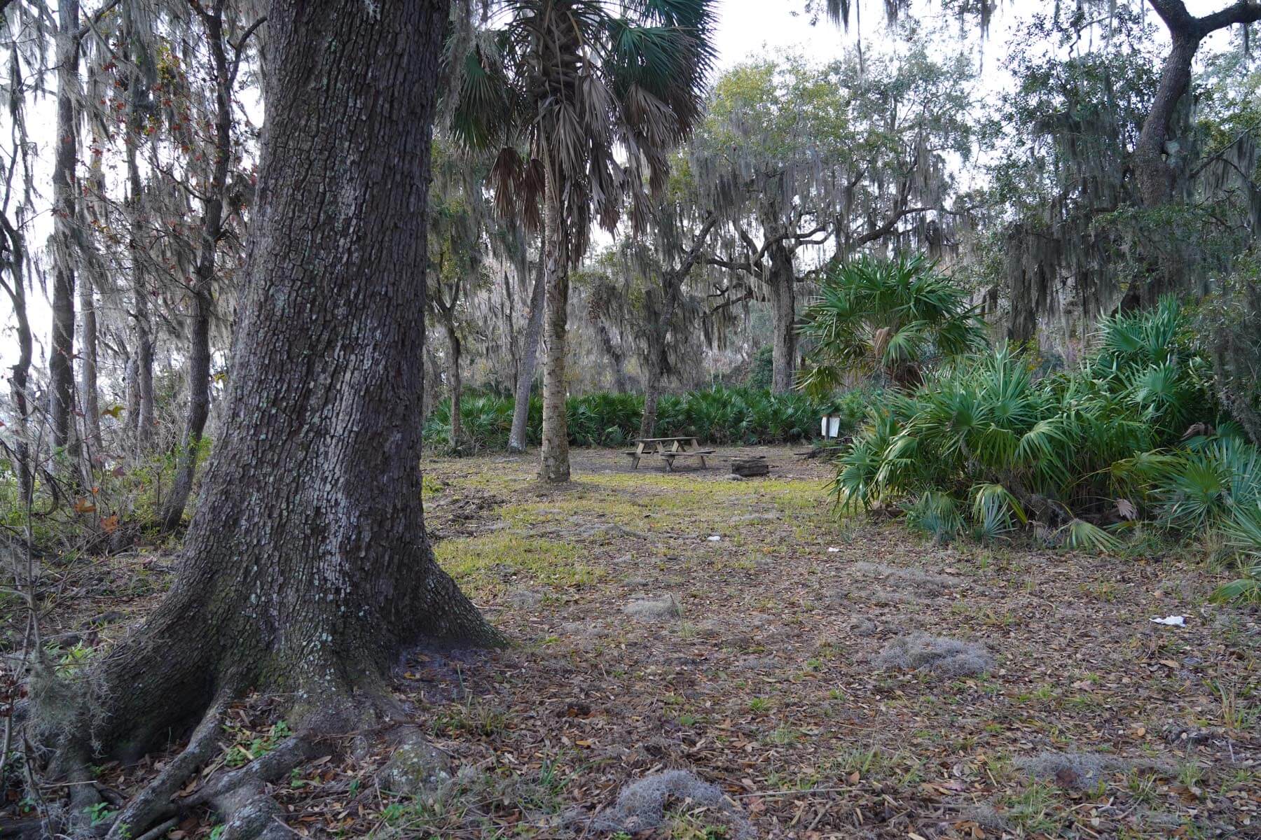
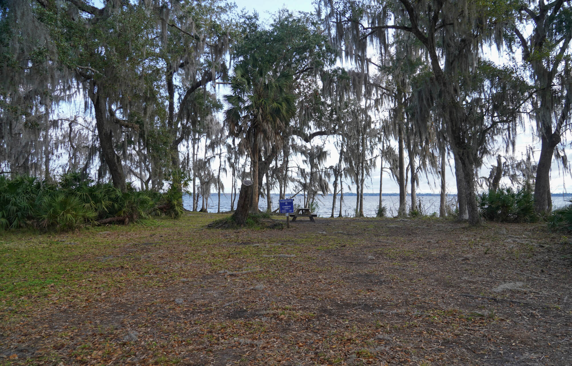
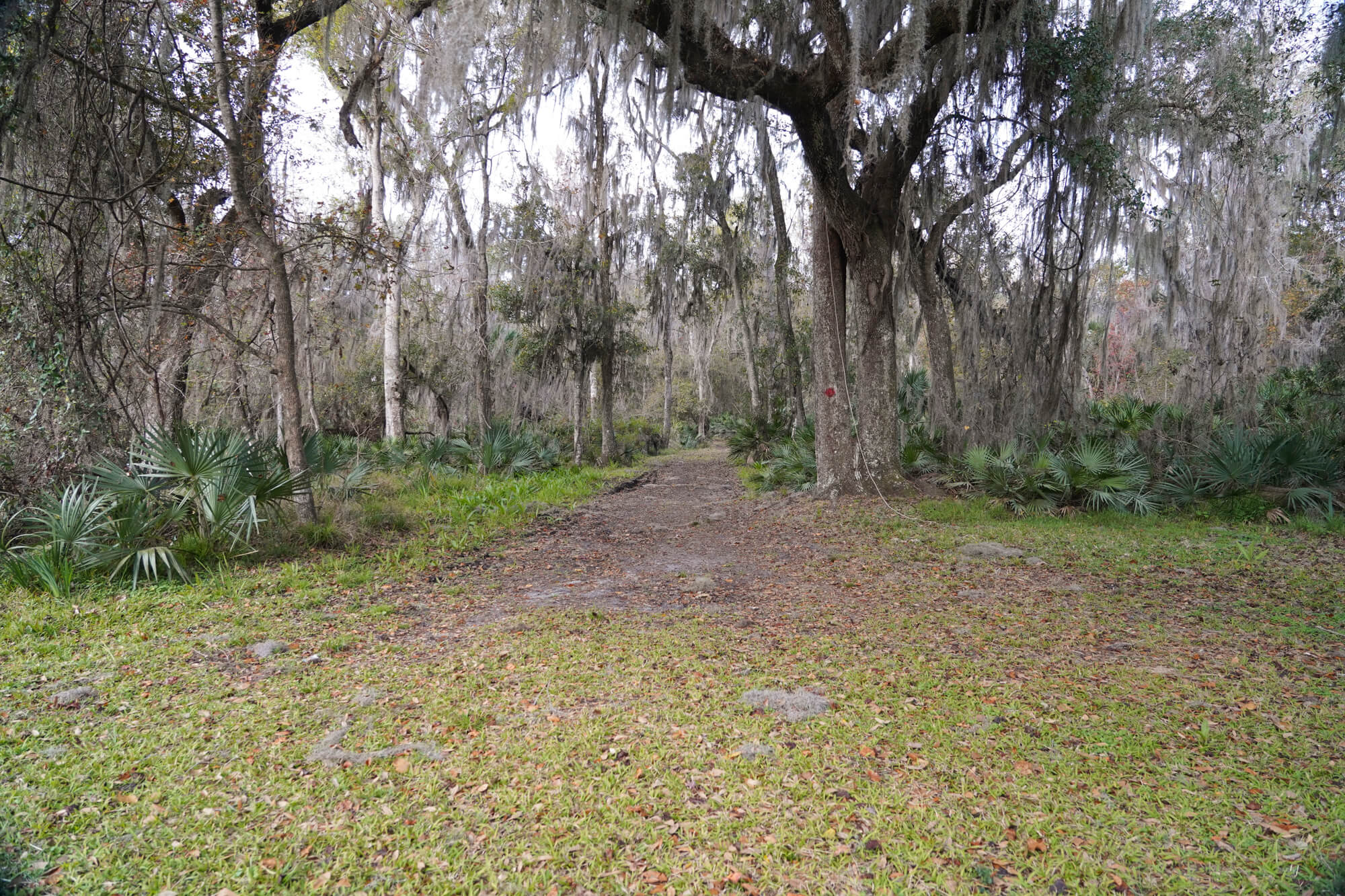
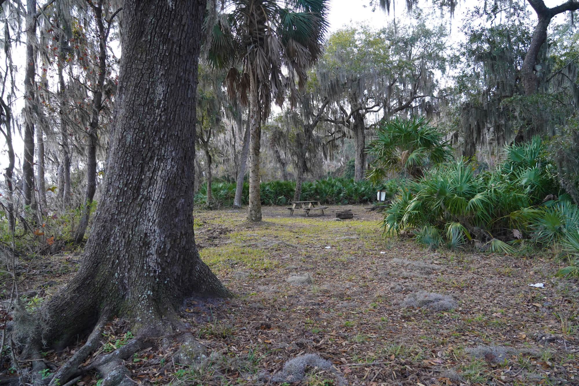
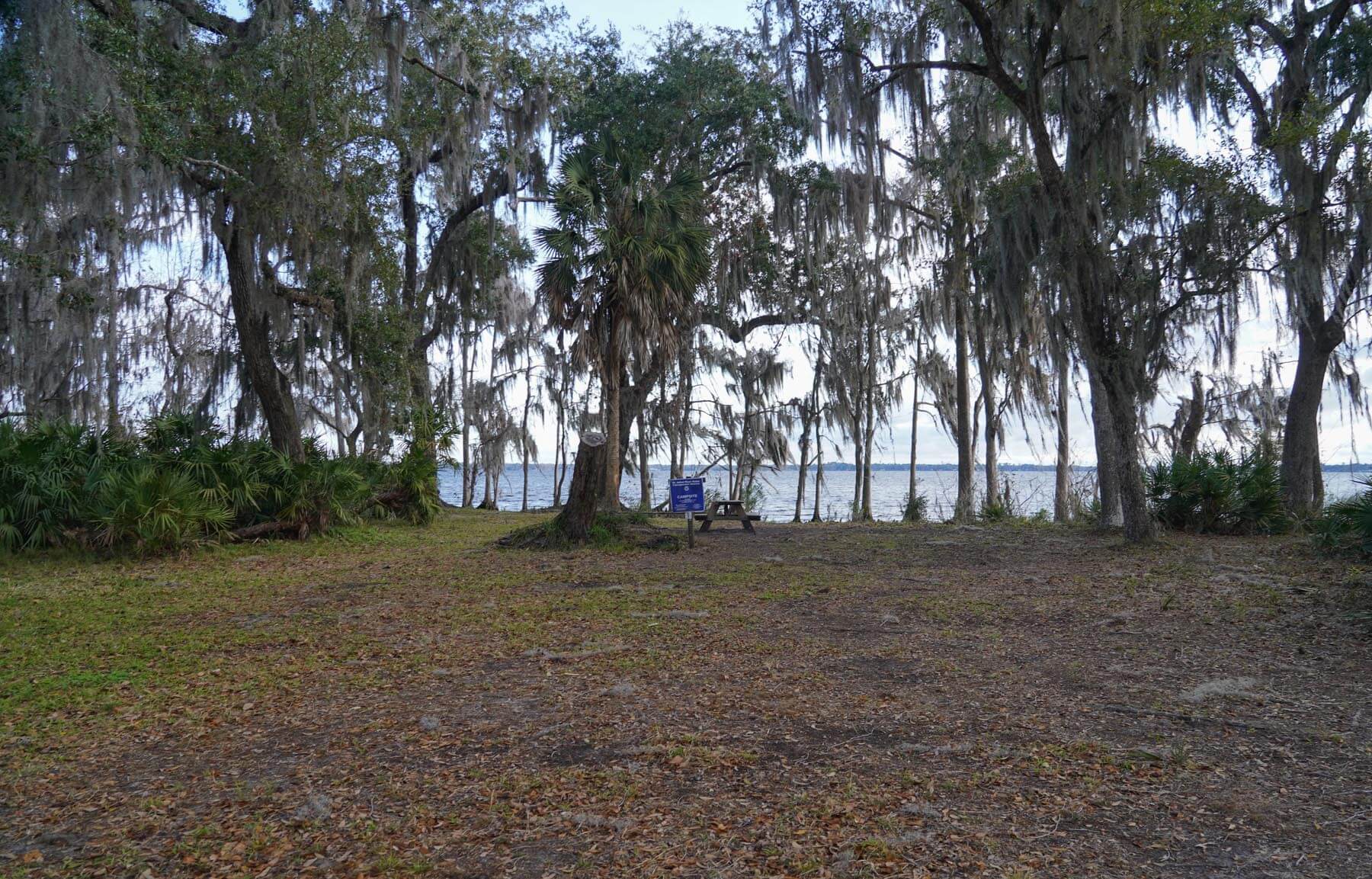
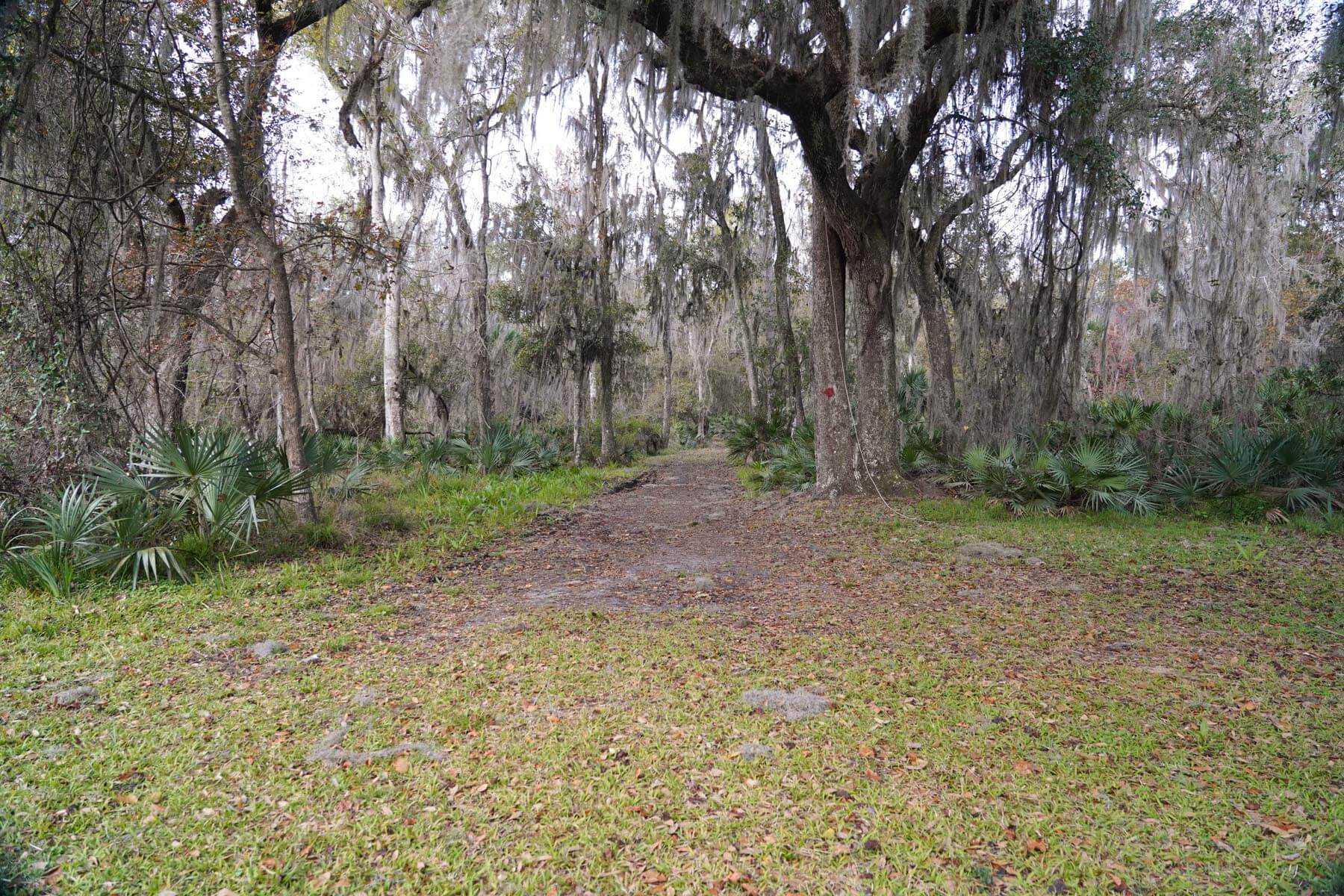
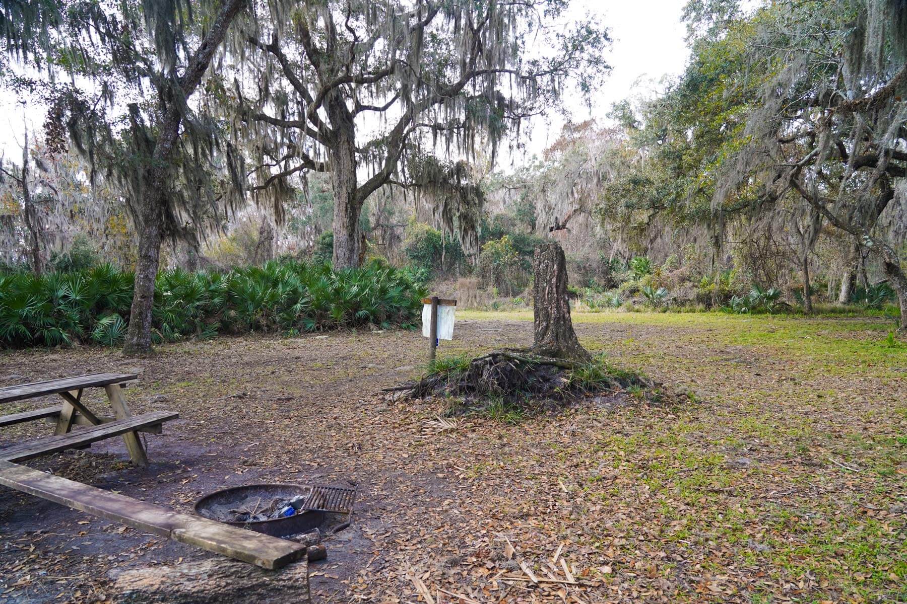
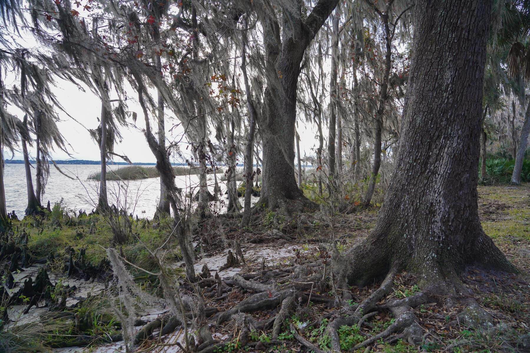
Because of the lack of public access and the archeological sensitivity of the fort’s remains, Davis Landing was selected as the representative site where the Bartrams went ashore on this day. Davis Landing is on public property within the J. P. Hall Bayard Point Conservation Area. (St. Johns River Water Management District allows camping, has picnic tables and a fire ring, and can be accessed from the River by canoe or kayak, or on foot via marked trails in the Conservation Area. This site is preserved in a state of nature similar to what the Bartrams would have observed during their visit, but it is located approximately one and three-quarters miles north of the actual site of Fort de Pupo.
Davis Landing is on public property (St. Johns River Water Management District), allows camping, has picnic tables and a fire ring, and can be accessed from the River by canoe or kayak, or on foot via marked trails in the Conservation Area. This site is preserved in a state of nature similar to what the Bartrams would have observed during their visit, but it is located approximately one and three-quarters miles north of the actual site of Fort de Pupo.
Maps and other information about Davis Landing, including camping and hiking, can be found at: J.P. Hall Bayard Point Conservation Area – SJRWMD.
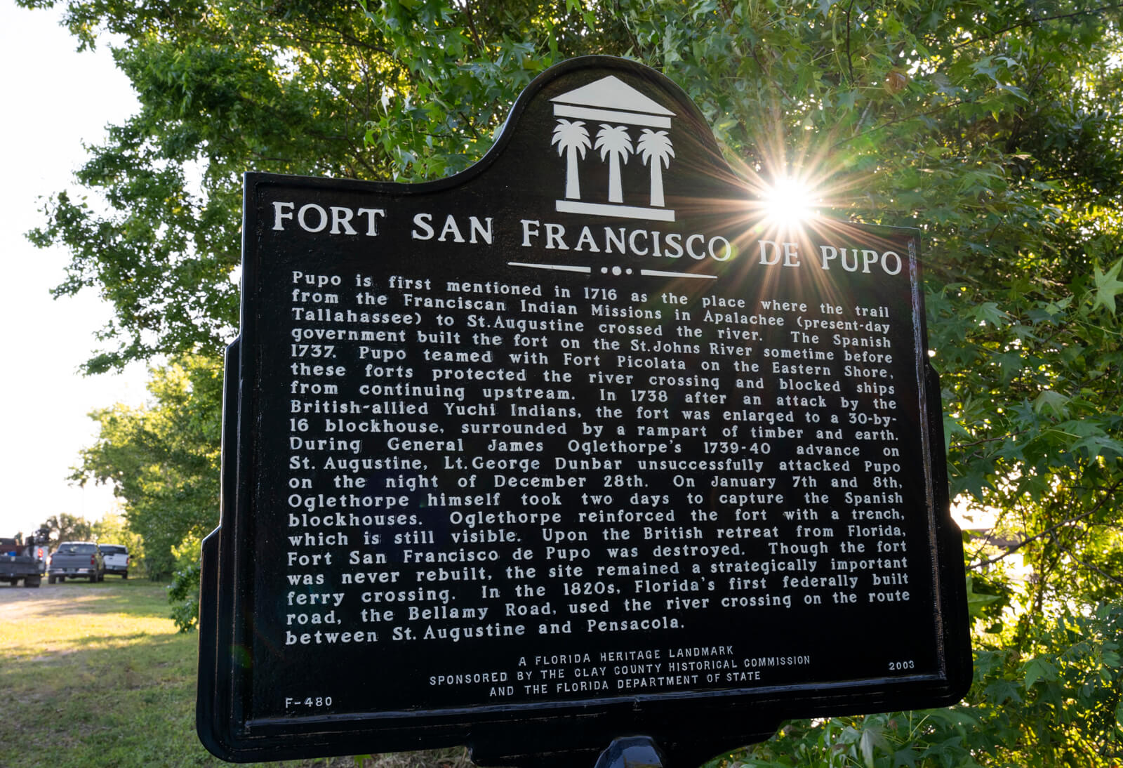
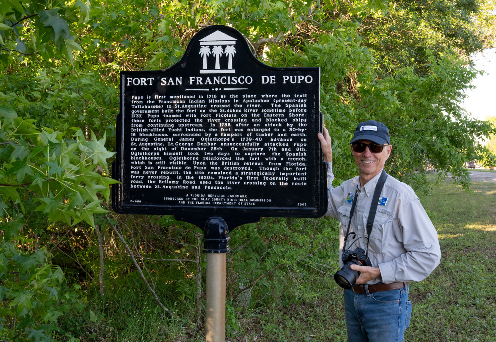
Fort San Francisco de Pupo
The Clay County Historical Commission erected a historical marker for Fort San Francisco de Pupo in 2003. It is located on the south side of SR 16 on the west shore of the St. Johns River at the foot of the Shands Bridge.
The Inscription reads: Pupo is first mentioned in 1716 as the place where the trail from the Franciscan Indian missions and the Apalachee (present-day Tallahassee) to St. Augustine crossed the river. The Spanish Government built the fort on the St. Johns River sometime before 1737. Pupo teamed with Fort Picolata on the Eastern Shore; these forts protected the river crossing and blocked ships from continuing upstream. In 1738, after an attack by the British-allied Yuchi Indians, the fort was enlarged to a 30-by-16 blockhouse, surrounded by a rampart of timber and earth.
During General James Oglethorpe’s 1739-40 advance on St. Augustine, Lt. George Dunbar unsuccessfully attacked Pupo on December 28th. On January 7th and 8th, Oglethorpe spent two days capturing the Spanish blockhouses. Oglethorpe reinforced the fort with a trench, which is still visible. Upon the British retreat from Florida, Fort San Francisco de Pupo was destroyed. Though the fort was never rebuilt, the site remained a strategically important ferry crossing. In the 1820s, Florida’s first federally built road, the Bellamy Road, used the river crossing on the route between St. Augustine and Pensacola.
John Bartram kept a personal Diary. This diary was later transcribed to produce his Journal, which was given to Governor Grant as a deliverable (along with a map of the St. Johns River) for the payment he received for conducting his survey and assessment of the St. Johns River in 1765-6. Dr. Stork later published the Journal in London in an effort to stimulate interest, investment, and settlement in the new American Territory.
It is interesting to compare the pages of the Diary that were not included in the Journal to those which were. Both were published in a paper submitted by Frances Harper to the Transactions of the American Philosophical Society in December of 1942.
There is a distinct difference between the two documents’ wording, punctuation, and readability. It is readily apparent that the Diary was heavily edited to make it more readable for a general audience. Undoubtedly, John and William did some editing before submitting their report to Governor Grant. It is also likely that the text was again edited by Dr. Stork or others before it was published in England.
Unfortunately, the portion of the rough draft of the Diary submitted to Governor Grant has been lost or was not preserved, so it is impossible to compare the pages of the Diary to the same pages in the Journal side by side. However, comparing the text of the two documents makes it apparent that it is not only possible but likely that some confusion resulted when the Diary was edited to make it more “readable.”
A perfect example of this can be seen by comparing the text below from John’s Journal to the excerpt from his Diary on this website under Bartram Trail Site 8, A Little Lagoon, a portion of his Diary that was not included in the published Journal.
With this in mind, it is reasonable to suggest that the Bartrams visited Fort San Francisco de Pupo at its known location and that a crossing of the River ensued between the time they left the Fort and the time they landed at today’s Popo point. It is less likely that John Bartram was confused about the fort’s location since there is no evidence of there having been a third fort, as some Bartram scholars have suggested.
February 2, 1766
Walked this morning to observe the soil, the wind north, and cool, landed at Popa fort, a small shallow entrenchment almost filled up with length of time; ‘tis 20 yards square; and as many from the river; a few yards back of it there is another about twice as big; here is a grove of orange-trees, and many acres of large live oaks, 2 or 3 foot in diameter, adjacent to which is a shallow but good swamp with some cypress-trees; nearly opposite to this on the west side branches out a creek running 3 or 4 miles, on which grow large red cedars ; and about two miles below it, branches out White or Black River, it bears both names, the last by the English; ’tis navigable above 20 miles, some fay 30, ’tis reckoned 20 to Caldwall’s store, our present boundary with the Creek Indians; this river or creek is about 100 yards wide and 3 fathom deep, more or less, its general course is west; we landed at a pine bluff, 300 yards long and 10 foot perpendicular, more or less, the upper surface of which, for a foot or more deep, is white sand, then 2 foot of an ash-coloured clay mixed with red and yellow sand, then 5 foot of a fine yellow sand, (no coarse sand is to be found in any of the southern provinces) then a tenacious ash-coloured clay to an unknown depth, reaching below the surface of the creek; there is a pretty spring runs into the creek just above the bluff; we lodged near its-mouth.
Google Maps Listing for the Fort de Pupo Historical Monument
A Concise Natural History of East and West Florida; containing an account of the natural produce of all the southern part of British America, in the three kingdoms of nature particularly the animal and vegetable … Illustrated with 12 copper plates, and 2 whole sheet maps. Vol. 1. New York, Printed for the author, 1775. Bernard Romans
The defenses of Spanish Florida, 1565 to 1763 [by] Verne E. Chatelain. 1941.
Stork, William, A Description of East-Florida, With A Journal Kept by John Bartram of Philadelphia, Botanist to His Majesty for the Floridas; Upon a Journey from St. Augustine Up the River St. John’s, as Far as the Lakes. With Explanatory Botanical Notes (London: W. Nicoll and T. Jefferies, 1769) viii, 40, xii, 35 p.: maps, plan.; 26 cm