24 Drayton Island – 1766 Camp
Putnam County


We then steered our course to Bryan’s Island, on which there is some good land and rich swamp, with pretty much pine-land, it is supposed to contain about 1500 acres…
John and William Bartram
The Route
The Bartram party left their campsite near Silver Glen Springs on the morning of January 24, 1766 and continued rowing north along the west shoreline until they arrived at Salt Springs Run. They proceeded up the Run and “discovering” Salt Springs, spent some time examining it and the surrounding area. With their survey completed, they returned to their battoe and headed back towards Lake George. After rowing the 5.7 miles from Salt Springs to Rocky Point where the River flows between the west shore and Drayton Island, they undoubtedly took this west channel of the St. Johns which afforded the most direct route north. They continued rowing north and crossed the River to the Island where they found some “rocky rising ground” along the bank and stopped to camp (Figure 2).
The following morning, they departed from the Island and continued north. It is interesting to note that though they had been favoring the west shoreline on their return trip there are no recorded observations of the west shoreline in the Journal for this day. By noon they had rowed a distance of 5.2 miles and arrived again at Mt. Royal (Figure 3). After spending some time exploring the mound and the surrounding area, they returned to their vessel and proceeded to row downstream to Spalding’s Lower Store, a distance of 12.6 miles farther north.
The Site
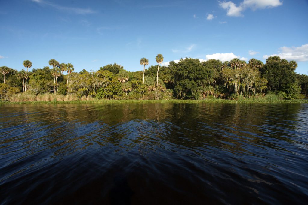
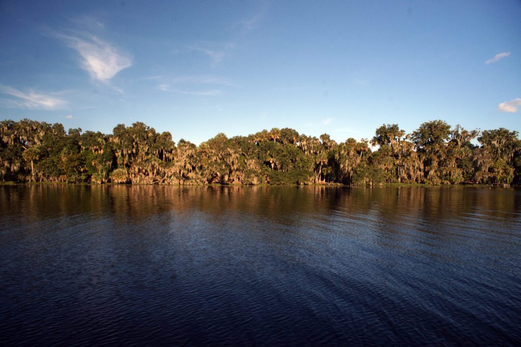
The Bartrams visited this site on January 24, 1766 during their return trip north on the St. Johns River. The west shoreline of Drayton Island from its southern tip to about one mile north, is low land that gradually rises inland. At about a mile north of the southern tip, the higher ground extends almost to the shoreline and this bluff continues north to the point where the shoreline curves to the northeast. Although it is not certain where on the Island the Bartrams established their campsite, it is likely that it was somewhere along this bluff on the southwest shore (Figure 4).
It is unlikely that the Bartrams spent much time exploring the land around this site on the day of their arrival. They had traveled quite a distance and having spent a good deal of time at Salt Springs would certainly have arrived late in the day or early evening. The Journal does mention that the Island had good land, rich swamp and pine forests but other than a detailed description of the soil at the campsite, doesn’t provide much additional information. The size of the Island (1500 acres) was presented as anecdotal, indicating that the party made no attempt to actually determine its area.
Drayton Island has no bridge connecting it to the mainland however a ferry serves the Island providing vehicular access across the east channel of the St. Johns from Georgetown to the north side of the Island. The County-owned and operated ferry has a limited and varied schedule which is posted at the ferry landing and available through the Putnam County website. At the time of this writing, the ferry operates only on Monday and Friday mornings and evenings and every other Sunday. Anyone planning on visiting the Island by this route should check the schedule beforehand and plan their visit accordingly. All of the land on Island is privately owned save for the few public roads that allow visitors some limited exploration of the Island by foot, bike or vehicle. There are no stores on the Island.
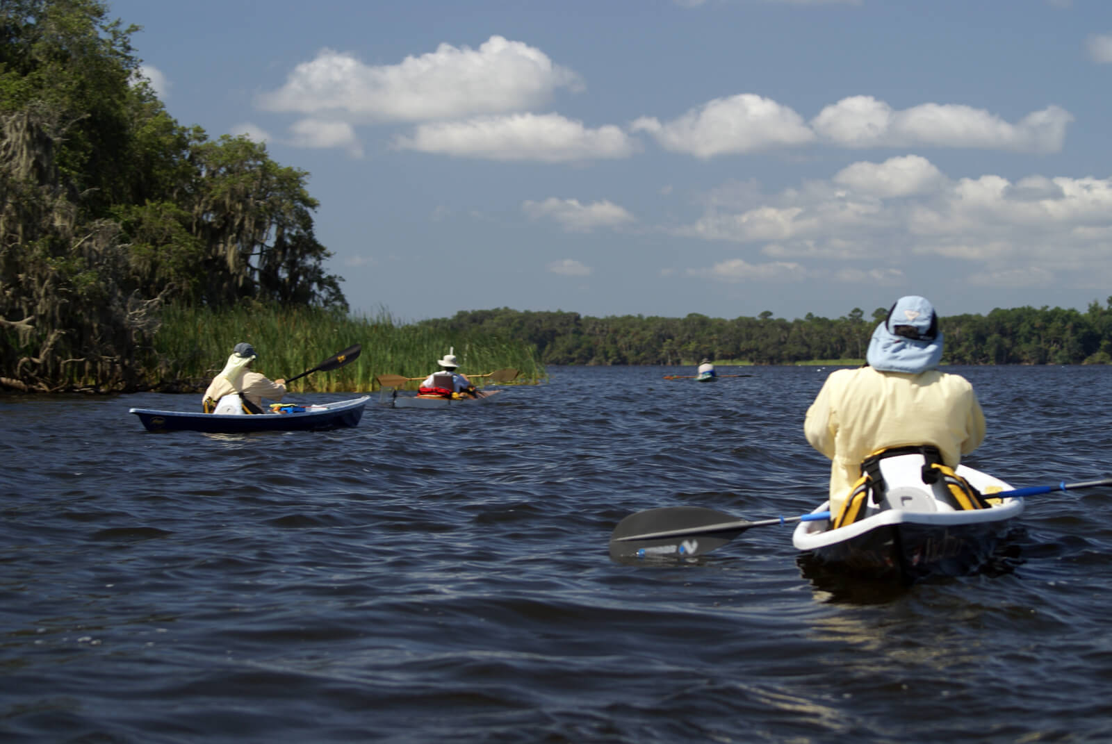
Bartram Trail Marker 24 is attached to a post in the St. Johns River, approximately 100 yards from the west shoreline of Drayton Island a little south of the Island’s center. The shoreline adjacent to the marker is private property. Consequently, the only way to see the marker and the site where the Bartram’s camped, is by water. The most convenient launch site is the Drayton Island Ferry boat ramp in Georgetown (Figure 5). Parking at the ramp is limited to the roadside and fills up quickly, especially on weekends. Visitors arriving by water can also go ashore at the Island’s ferry landing opposite the boat ramp at the north end of the Island and explore the Island on foot but, like those visiting by vehicle or from the ferry, should limit their explorations to the unpaved public roadways.
January 24, 1766 Journal Entry
“Moderate clear morning; rowed early by a bank of pine-land for several miles and some cypress-swamps, then came to a large creek called Johnson’s Spring, the west end of the lake about 80 yards near broad, but after it widens to about 200; the pine-land comes pretty close to its banks, then a narrow low marsh interposes, and after we rowed higher up we saw narrow cypress-swamps, loblolly-bays, and some few oak hammocks; the creek abounds with fish, many stingrays near its mouth; it is supposed to run 7 miles from its head to the lake, where the bar is about 18 inches deep, but the creek is 3, 4, and 5 foot up to the spring, which is nearly level with the lake, and full of grass and weeds at the bottom, many of which reach to the top of the water, and are a great obstruction to boats in going up, without they keep directly in the channel; on the north side towards its head a large marsh brancheth out; we came at last to where the cat-tails and bull-rushes grew so thick, that we could not force the battoe through them, though it was 100 yards broad, and 3 or 4 foot deep, so clear that we could see the muscle-shells on its shelly bottom in patches 3 or 4 foot diameter between the great patches of grass and weeds; we landed to search the head springs, and passed through an orange-grove and an old field of the Florida Indians, then came to the main springs, where a prodigious quantity of very clear warm brackish water boiled up between vast rocks of unknown depth, we could not reach the bottom by a very long pole; this was on the north bank, about 12 foot high above the water, which spreads immediately 50 or 60 yards broad: We walked round the west end towards the south bank, where the bare flat rocks appeared above water, and a great stream boiled up of a salt and sourish taste, but not near so loathsome as several before-described, nor had it any bad smell, or whitish sediment as they; we examined the composition of the rocks, and found some of them to be a concrete redish sand, some whitish mixed with clay, others a ferruginous irregular concrete, and many a combination of all these materials with sea-shells, clams, and cockles; we found in the bank an ash-coloured tenacious earth, and a strata of yellow sand beneath; near here my son found a lovely sweet tree, with leaves like the sweet bay, which smelled like sassafras, and produce a very strange kind of seed-pod, but the seed was all shed, the severe frost had not hurt it; some of them grew near 20 foot high, a charming bright evergreen aromatic: We saw near the spring numbers of large garr, cats, mullets, trouts, and several other kinds unknown to us, some in chance of others, which run into the grass to hide them from their enemies; in going down to the lake the fish were continually jumping; we observed on the north end of the lake a hammock of oak.
We then steered our course to Bryan’s Island, on which there is some good land and rich swamp, with pretty much pine-land, it is supposed to contain about 1500 acres; here we encamped on a rocky rising ground, and found numbers of great and small oyster-shells, clams, perriwinkles, sea-muscles, and cockles, all cemented together with broken fragments, some ground as fine as coarse sand; they were all confusedly mixed and jumbled together as upon our sea-coast; first a strata of shells, then a strata of shells and fragments fill up the least cavity; it is remarkable that we never found any scallops to the south of Carolina, either on the coast or up in the country.”
January 25, 1766 Journal Entry
“Fine pleasant morning, although a little frost in the pine-lands; saw several flocks of pigeons flying about both yesterday and to-day: About noon we landed at Mount-Royal, and went to an Indian tumulus, which was about 100 yards in diameter, nearly round, and near 20 foot high, found some bones scattered on it, it must be very ancient, as live-oaks are growing upon it three foot in diameter; what a prodigious multitude of Indians must have laboured to raise it? To what height we can’t say, as it must have settled much in such a number of years, and it is surprizing where they brought the sand from, and how, as they had nothing but baskets or bowls to carry it in; there seems to be a little hollow near the adjacent level on one side, though not likely to raise such a tumulus the 50th part of what it is, but directly north from the tumulus is a fine straight avenue about 60 yards broad, all the surface of which has been taken off, and thrown on each side, which makes a bank of about a rood wide and a foot high more or less, as the unevenness of the ground required, for the avenue is as level as a floor from bank to bank, and continues so for about three quarters of a mile to a pond of about 100 yards broad and 150 long N. And S. Seemed to be an oblong square, and its banks 4 foot perpendicular, gradually sloping every way to the water, the depth of which we could not say, but do not imagine it deep, as the grass grows all over it; by its regularity it seems to be artificial; if so, perhaps the sand was carried from hence to raise the tumulus, as the one directly faces the other at each end of the avenue; on the south side of the tumulus I found a very large rattle-snake sunning himself, I suppose this to be his winter-quarters; here had formerly been a large Indian town; I suppose there is 50 acres of planting ground cleared and of a middling soil, a good part of which is mixed with small shells; no doubt this large tumulus was their burying-place or sepulchre: Whether the Florida Indians buried the bones after the flesh was rotted off them, as the present southern Indians do, I can’t say: We then rowed down the river, and encamped at Spalding’s Lower-store, opposite to a small rich island on the west side of the river.”
Links and References
The Journal
Florida History Online “John Bartram’s Travels on the St. Johns River, 1765-1766.” May 2013.
http://www.unf.edu/floridahistoryonline/Projects/Bartram.html
http://www.unf.edu/floridahistoryonline/Bartram/January_1766/24jan1766.htm
Bartram, John. Diary of a Journey through the Carolinas, Georgia, and Florida, from July 1, 1765, to April 10, 1766, annotated by Francis Harper. Transactions of the American Philosophical Society, n.s., Vol. XXXIII, Pt. I. Philadelphia, PA, 1942.
Additional References
Florida History Online. New World in a State of Nature; British Plantations and Farms on the St. Johns River, East Florida 1763-1784. May 2013
http://www.unf.edu/floridahistoryonline/Projects/Plantations.html
http://www.unf.edu/floridahistoryonline/Plantations/plantations/Drayton_Island.htm
Bruce, F.W. Assistant Engineer, US Army Corps of Engineers. St. Johns River to Lake Harney, Florida. 1908. The Portal to Texas History. University of North Texas. Nautical Chart of the St. Johns River.
http://texashistory.unt.edu/ark:/67531/metapth187523/m1/1/zoom/

