06 Caldwall’s Store
Clay County
Tis reckoned 20 (miles) to Caldwall’s store, our present boundary with the Creek Indians…”

The Route
The night of February 2, 1766, was spent on the shore of Black Creek near the mouth of a small spring. The party broke camp and proceeded up Black Creek passing “many high bluffs, nearly 20 foot high, some with cypress swamp behind them, others are level with the adjacent pin-land.” They soon made their way to Caldwall’s Store, noting that it was located near where the Creek branches to the north and to the south. Later, they returned to their vessel and explored the south branch of Black Creek, rowing about five miles until downed trees prevented them from continuing. They turned about and proceeded back to the fork in the Creek and to the Store where they lodged that night.
The Site
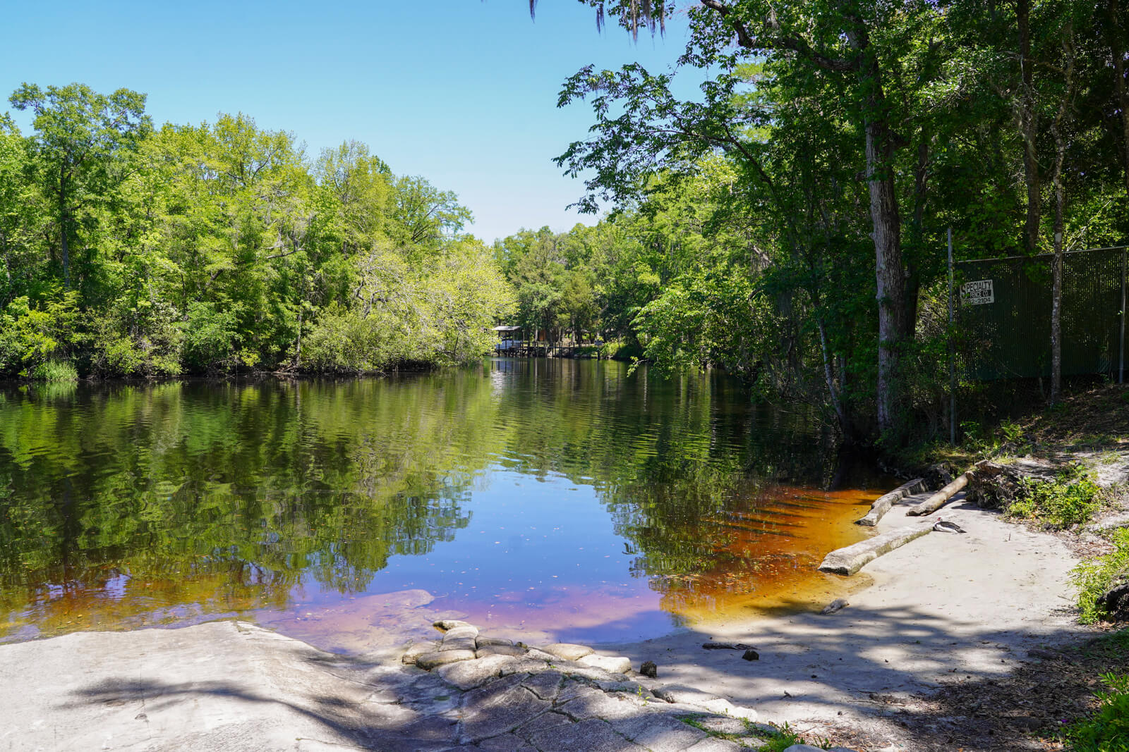
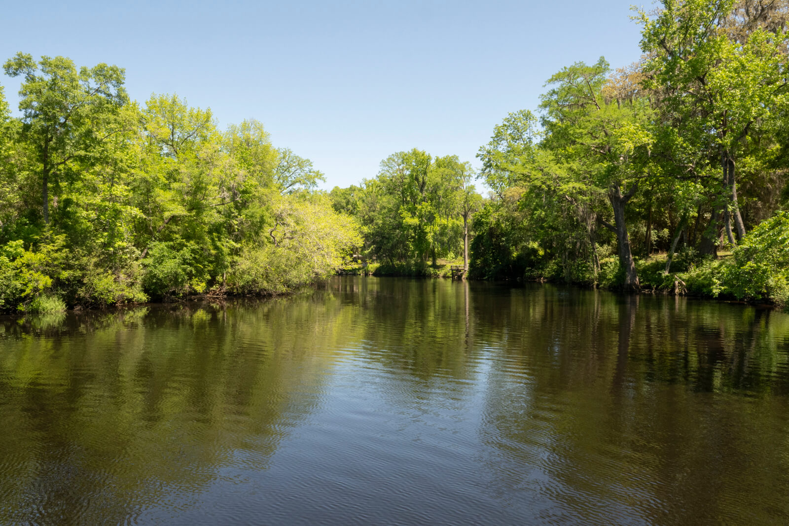
Caldwall’s Store was about twenty miles from the mouth of the creek. It was an isolated trading post that had been established at the confluence of the North and South Branches of Black Creek. John called the trading post “the Store” in his journal, and its location marked the boundary between British East Florida and the territory of the Creek Indians. Caldwall is thought to have been an independent trader, and the location of his trading post was ideal because it was close to the Indian Tribes who lived to the west in the Alachua Territory. Today, the city of Middleburg, Florida, occupies the site of Caldwall’s Store.
On February 3rd, it was cool, and there was frost all around when the Bartrams set out for the Store. John described the creek bottom as sandy, and as they rowed up the creek, they “saw many high bluffs, near 20 foot high, but poor and sandy,” on either side. Behind some of the bluffs were cypress swamps or ponds, while other bluffs were “level with the adjacent pine-lands,” and that’s where they saw knee-high grass growing among large trees. By the time the Expedition reached the Store, the temperature had warmed and become quite pleasant. The group chose to continue their explorations by rowing up the south branch of the creek until they reached a section that was 4 or 5 feet deep and 10 yards wide. It was here that their passage became blocked by several large fallen trees. The explorers returned to the Store, where they lodged, and overnight it began to rain.
The morning of the next day, February 4th, the weather was warm and rainy. Once it cleared, the Bartrams began to explore the north branch of Black Creek. They mostly saw 2- to 13-foot-high banks along the shoreline as they paddled up the creek. In his journal, John said, “in many places rocks under the surface 3 or 4 foot, reaching below the surface of the water to an unknown depth.” John’s survey of the creek bottom revealed a hidden history in the strata. Starting at the sandy surface, he delved deeper to find a gritty rock layer that eventually gave way to a solid two-foot seashell collage of the “cockle and perriwinkle kind” that had fused together over time. The bottom layer was a “deep mass of soft, in some places, hard rocks.”
The Bartrams rowed up the north branch until fallen trees blocked their passage, mirroring the same obstruction they encountered the day before on the south branch. John described the creek as being 10 yards wide and a fathom deep in that spot. John and William decided to continue their exploration of the north branch on foot. After covering a significant distance, they noticed the landscape remained largely unchanged from the south branch, except for a greater abundance of older trees. In this section of his journal, John recounted how local traders had said the north branch of Black Creek “heads in a great lake 5 miles long and 3 broad.”
Though inflated, this is the description of Kingsley Lake (just under 2 miles in diameter), which still exists today and is the source of the north branch of the creek. The branch flows north, out of Kingsley Lake, and then southeast through the areas of Camp Blanding and Jennings State Forest. It continues a northerly flow until it enters the Jennings State Forest, where it turns south to join the mainstem of Black Creek near Middleburg, Florida, and the site of Caldwall’s Store. In his Naturalist Edition of Bartram’s Travels, Francis Harper mistakenly places Kingsley Lake in the South Fork drainage of Black Creek, a reasonable assumption given its location south of present-day Middleburg.
John Bartram’s Journal offers very little information about the Store other than it is “our present boundary with the Creek Indians.”
On February 5th, the Bartrams departed Caldwall’s Store, rowing back downstream in Black Creek towards the St. Johns. Their destination was the east bank of the St. Johns River, where they stayed at Robert Davis’s plantation, Beauclerc Bluff. After re-supplying, the Expedition would continue its explorations in Clay County, in and around Doctors Lake.
Visitor Experience
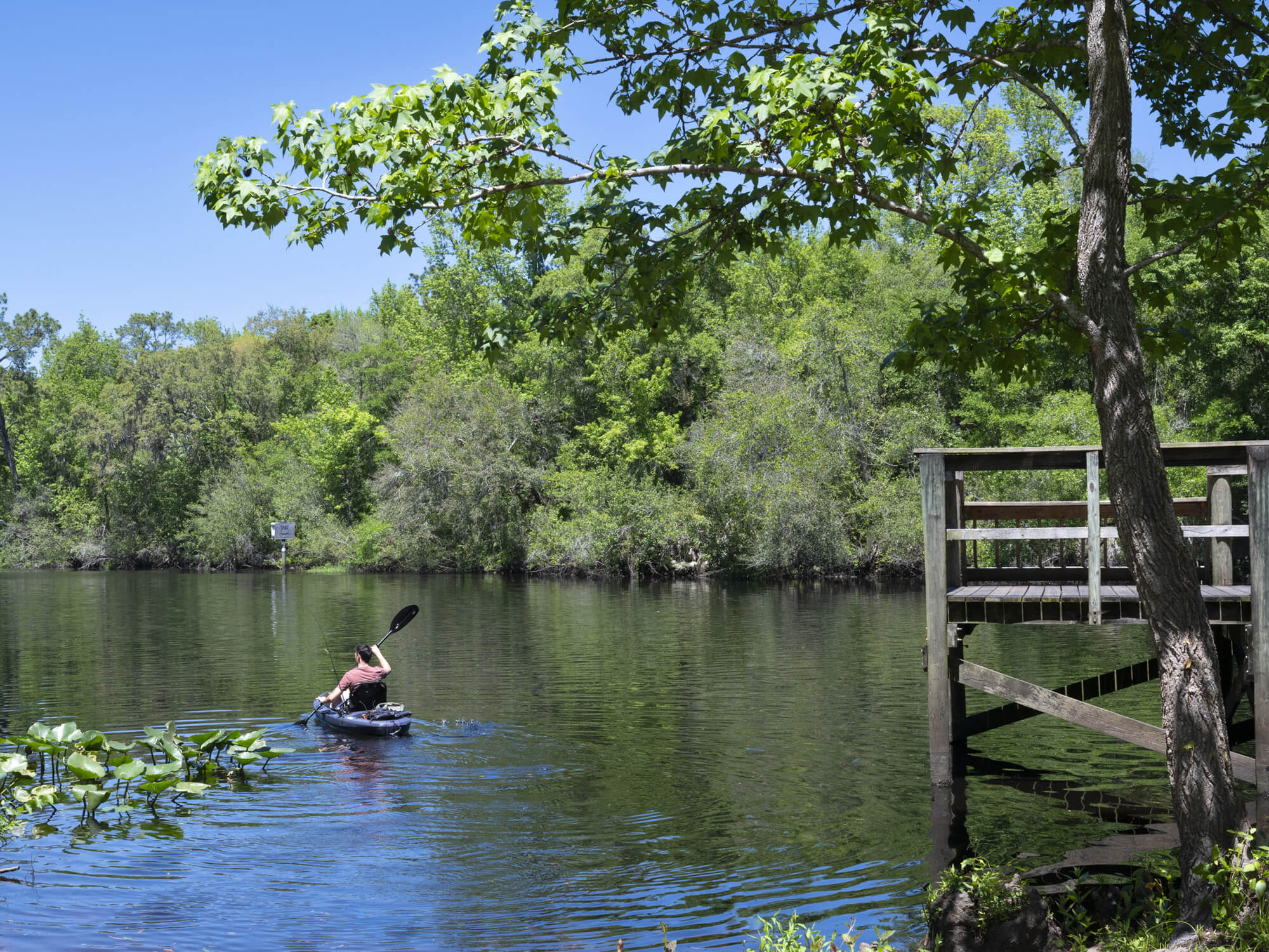
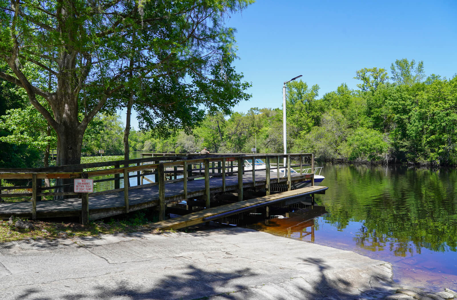
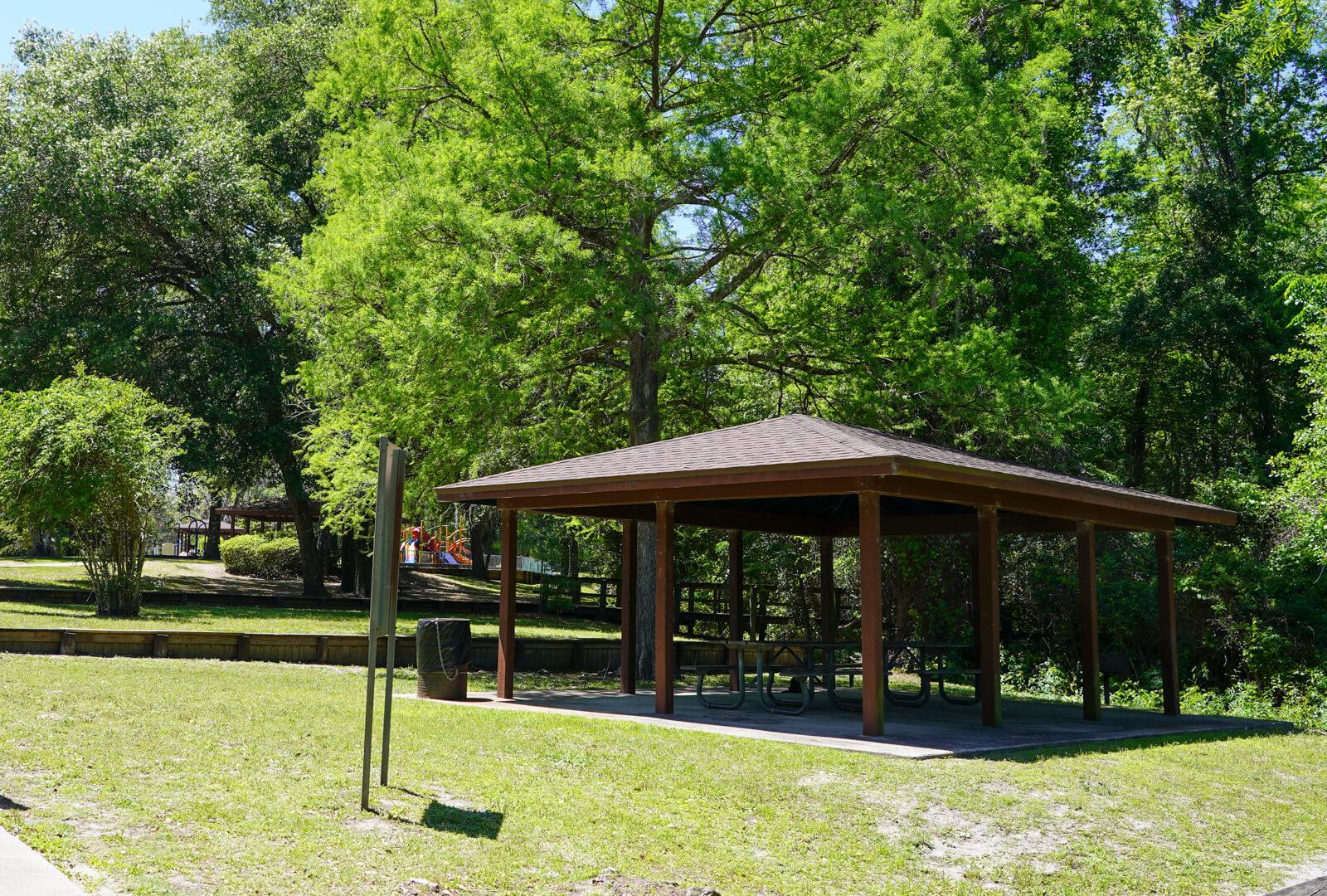
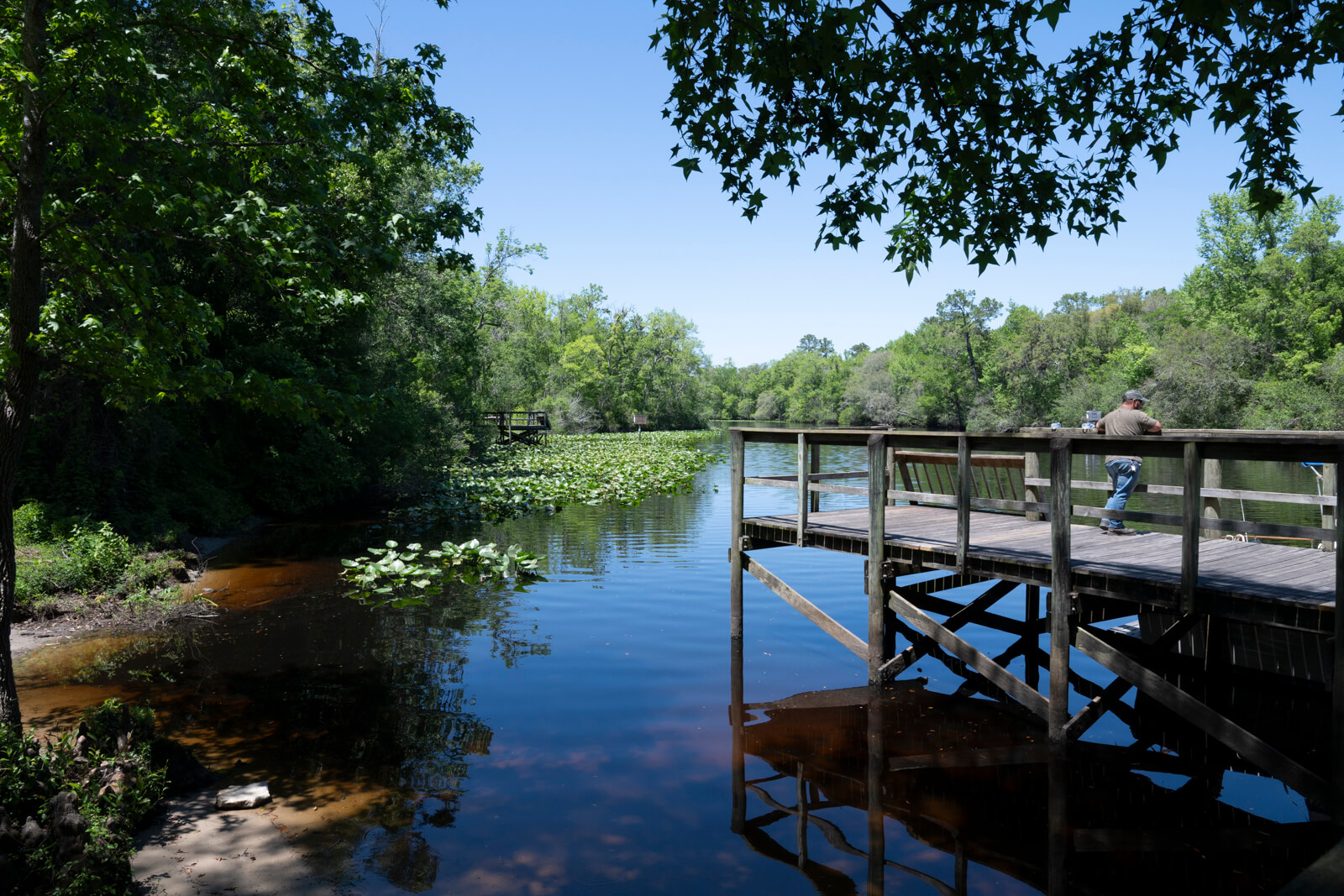
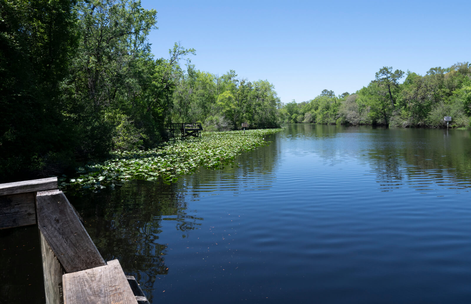
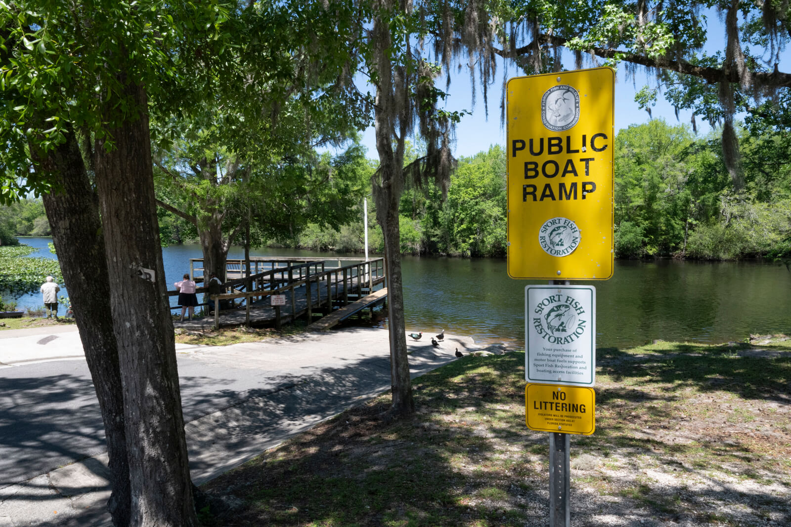
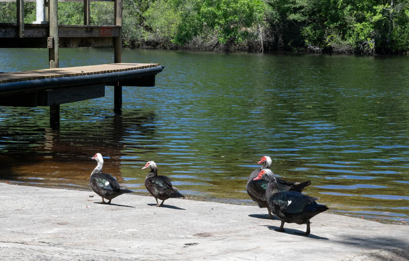
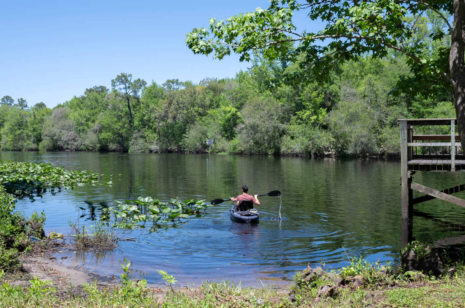
Middleburg Boat Ramp and Master Sgt. John E. Hayes Memorial Park is located at 3788 Main Street, Middleburg, FL 32068, and features old-growth trees and wetland cypress creating a lush, shaded backdrop. The park is a popular spot for outdoor recreation.
Visitor Highlights:
- Boat ramp: A single-lane concrete ramp for easy boat launch, with both paved and overflow gravel parking
- Fishing piers: Two piers offer great spots for fishing, overlooking the creek and surrounding wetlands
- Playground: A fun and safe space for children to play, while adults relax nearby
- Picnic pavilions: Three shaded pavilions provide scenic spots to enjoy meals or take a break, each overlooking the creek
- Restroom facilities: On-site restrooms add to the convenience, making it easy to spend the day at the park
Parking Info:
- Paved and overflow gravel parking: Ample parking for both vehicles and trailers, with overflow parking available during busy weekends
- Popular on weekends – The park tends to fill up quickly, especially on weekends, so plan ahead if you’re visiting during peak times.
Whether you’re launching a boat, fishing, or simply enjoying the natural surroundings, Middleburg Boat Ramp and Master Sgt. John E. Hayes Memorial Park offers a tranquil spot to experience one of the region’s major waterways.
February 3, 1766
Set out early, cool morning, with white frost, wind N. W. Saw many high bluffs, near 20 foot high, but poor and sandy; some have a cypress-swamp behind them, others are level with the adjacent pine-land, in which is plenty of rank grass knee-high on one or both sides of these bluffs frequently runs out a small spring: We called at the Store, (this was a fine warm day) above which, the land is still higher, and produces live-oak, red and purple-berried bay, alder, maple, chinquapins, elm, linden, water-oak, myrtle, dogwood, vaccinium, palmetto, hamamelis, and cedar; here the creek divides into two branches nearly equal;”.
February 4, 1766
Warm rainy morning; it cleared up, and we set out up the north-branch, the banks of which were 12 or 13 foot high most of the way, more or less, in many places rocks under the surface 3 or 4 foot, reaching below the surface of the water to an unknown depth in some places; the first strata is sandy, then a gritty rock for a foot, then a softish rock full of sea-shells, of the cockle and perriwinkle kind, mixed close with broken or ground shells to a solid mass for two foot, more or less, then a deep mass of soft, in some places, hard rocks: We rowed up this branch until we were stopped by trees, as in the other, and here the creek was 10 yards broad and a fathom deep; we walked up it a good way farther, but found little alteration, except in its being fuller of old trees; the traders say, it heads in a great lake 5 miles long and 3 broad; there are some middling good cypress-swamps near its banks, the floods had been so high up this branch, as to flow over its banks, and the first rising of the pine-lands; they had not been quite so high in the other branch; near the Store was a deep gut with a middling stream of water, which headed about a quarter of a mile up in the pine-lands, and gushed out over the rocks, where it had worn a deep narrow gully 8 or 10 foot deep, the rocks reached to within 4 foot, more or less of the surface, and to an unknown depth, all of ground or broken sea-shells; in some places there is a strata of tenacious clay, either above, under, or without this shelly strata.”
February 5, 1766
Set out from the Store down the river, near the mouth of which are some good cypress-swamps, and up it generally very large ones; about 4 miles up, there is a very extensive one, reaching a mile and a half north-eastward, to a place called the Doctor’s lake, narrowing gradually to the mouth of the creek and upwards, till a pine-bluff interposes; opposite to this is another extensive swamp, upwards of 1000 acres; pretty near the mouth of the creek there are two small islands; a large point of land projects out from the main on the east side of the river opposite to the mouth of Doctor’s lake, which runs near south partly parallel with the river: We arrived this evening at Mr. Davis’s.”
Books for further reading
The Early History of Clay County by Hooper
Dan Schaffer
Diary of a journey through the Carolinas, Georgia and Florida : From July 1, 1765 to April 10, 1766 / John Bartram. Annotated by Francis Harper.