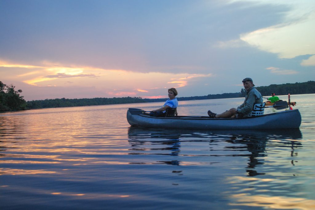
10 Bear Island (Small Island)
Putnam County
(Here) are found fragments of old Indian pots and orange-trees, which clearly demonstrates, that the Florida Indians inhabited every fertile spot on St. John’s river…
John and William Bartram
The Routes
The Bartrams, having spent the night of January 26, 1766 in a low damp swamp on the north shore of Crescent Lake, left their campsite early in the morning and set out to explore the southern and greater part of the Lake. John estimated the length of the lake to be 15 miles long; a good approximation if present-day Dead Lake is included a part of Crescent Lake. This appears to be the case from the plat map of Denys Rolle’s property holdings drafted sometime after their visit (Figure 1). If they followed the east shoreline of the Lake, which is likely, and crossed at the nearest point, their trip to Bear Island would have been about 9.5 miles (Figure 2).
The Journal makes no mention of venturing farther south on the Lake though the eastern extension of the lake (present day Dead Lake) mentioned in the Journal entry on January 26, would not have been visible from Bear Island, making it impossible to generate the nearly accurate lake length measurement of 15 miles also mentioned in the Journal. Since the land was already in the ownership of Squire Rolle, it is likely that the Bartrams knew the distances from these earlier surveys and didn’t base this estimate on observations made this day. They most likely returned to their camp along the west shoreline since the Journal entry on the following day includes a description of the woodlands on the west side of the Lake (Figure 2). If these proposed routes are good approximations of those taken by the Bartrams to and from the Island, they covered a distance of almost 19 miles on this day.
The Site
As John Bartram observed in his Journal, Crescent Lake is oriented from northwest to southeast and is long and narrow, bending eastward towards its southern extent. Bear Island is just south of the halfway point of Crescent Lake, but would have been almost exactly half way in Bartram’s day given its configuration then. It is well centered between the east and west shorelines; both crossings being less than a mile (Figure 3).
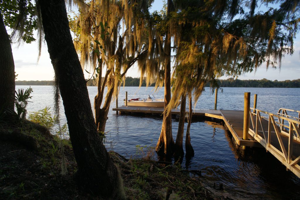
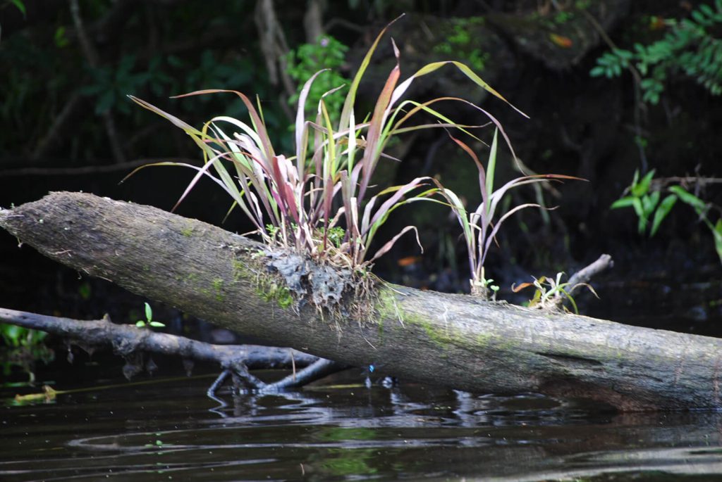
The Bartrams spent some time exploring the Island and were not surprised to find the signs of Indian habitation, making the observation “that fragments of old pots and orange trees could be found on almost any high dry bank along the River and its tributaries where the soil was good.” They estimated the area of the Island at about a hundred acres and described its vegetation and the lay of the land. It seems apparent that they could easily have traversed the entirety of the small Island during their brief visit (Figure 4).
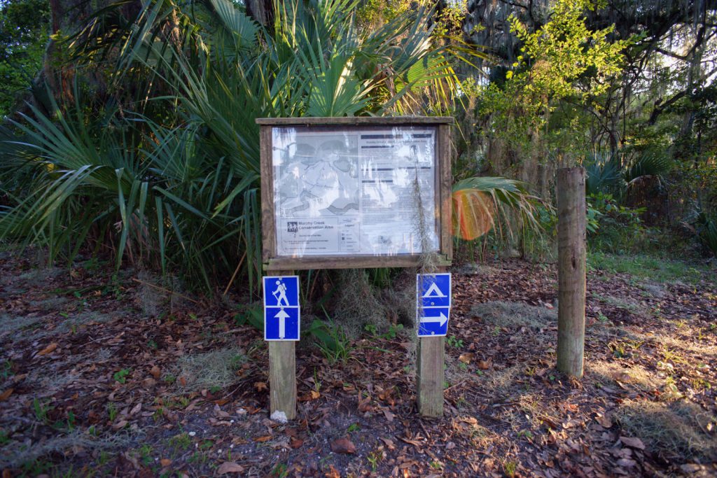
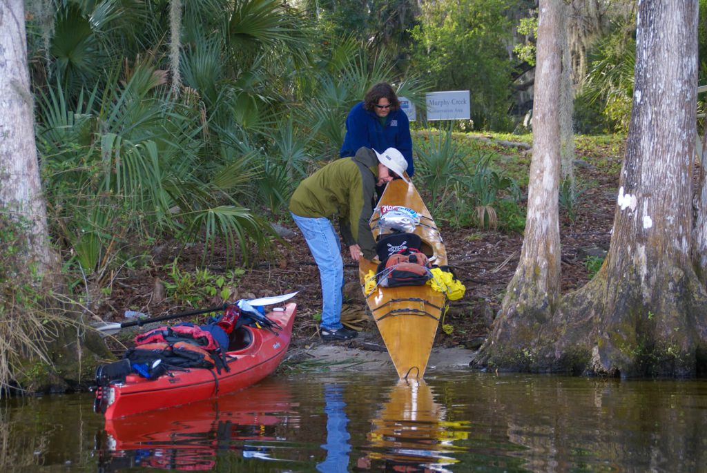
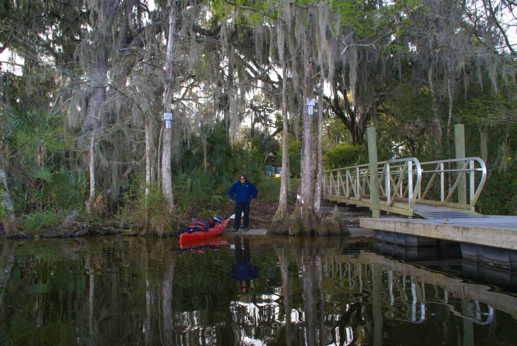
There are two Bartram Trail Markers for this site (11). One is located at the Crescent City Public Boat Ramp on the west shore of Crescent Lake. Bear Island can be seen from this location. The second marker is located on the north east tip of the Island and can only be seen from the water. The most convenient access to both of these markers is from the Crescent City Boat Ramp. (Figure 5.)
January 27, 1766 Journal Entry
“Fine pleasant morning. Set out early, and landed on a small island of near 100 acres, part cypress-swamp, part marsh, and piney palmetto, a very rotten black soil, mixed with white sand: We landed on a low bluff of muscle and snail-shells, generally broken and powdered by the surges of the lake; here, as well as in most other places on any high dry bank on the river or its branches where the soil is good, are found fragments of old Indian pots and orange-trees, which clearly demonstrates, that the Florida Indians inhabited every fertile spot on St. John’s river, lakes, and branches; now the ash, maple, elm, and pavia, are all green, and shot out several inches, the cypress is in full bloom, the water-oak begins to look yellow, and the sweet-gum just casting its leaves: the north end of this island is pine and palmetto, then high swamp; the east end low. Leaving the island, we encamped where we did the night before, on a bed of long tree-moss, to preserve us from the very low damp ground, which is very unpleasant and dangerous.”
Resources and Links
Florida History Online “John Bartram’s Travels on the St. Johns River, 1765-1766.” Entries for January 26, 1766 and January 27, 1766.
http://www.unf.edu/floridahistoryonline/Bartram/January_1766/26-27jan1766.htm
Florida History Online. New World in a State of Nature; British Plantations and Farms on the St. Johns River, East Florida 1763-1784.
http://www.unf.edu/floridahistoryonline/Plantations/plantations/Denys_Rolle_and_Rollestown.htm
