03 A Large Creek
Clay County
At the head of which is a large creek, about 100 or more yards broad, and near a mile and a half long, heading in a rich swamp with 3 or 4 branches, which drain it.
In December 1765, British Governor James Grant enlisted the help of John Davis, the son of a local plantation owner living at Beauclerc Bluff on the east shore of the St. Johns, opposite the mouth of Doctor’s Lake, to guide the Bartrams during their expedition. The Bartram Expedition spent two days exploring Doctors Lake and its adjacent wetlands, swamps, and savannas. It is unclear on which day the Expedition explored the creek or to what extent. It is noteworthy that, following the expedition, John Davis would apply for and receive land grants for two properties on Doctor’s Lake: Spring Garden, located on the north and west shores, and Tobacco Bluff, situated on the west and southwest shores. Davis used these lands to graze cattle and cultivate indigo.
The “large creek” mentioned in John’s Journal became known as Doctor’s Creek, but was later renamed Swimming Pen Creek. It marked the border of Davis’s grant. The creek was referenced in Spanish-era land claims, though not always labeled, and was consistently shown on territorial-period plats as a distinct natural feature.
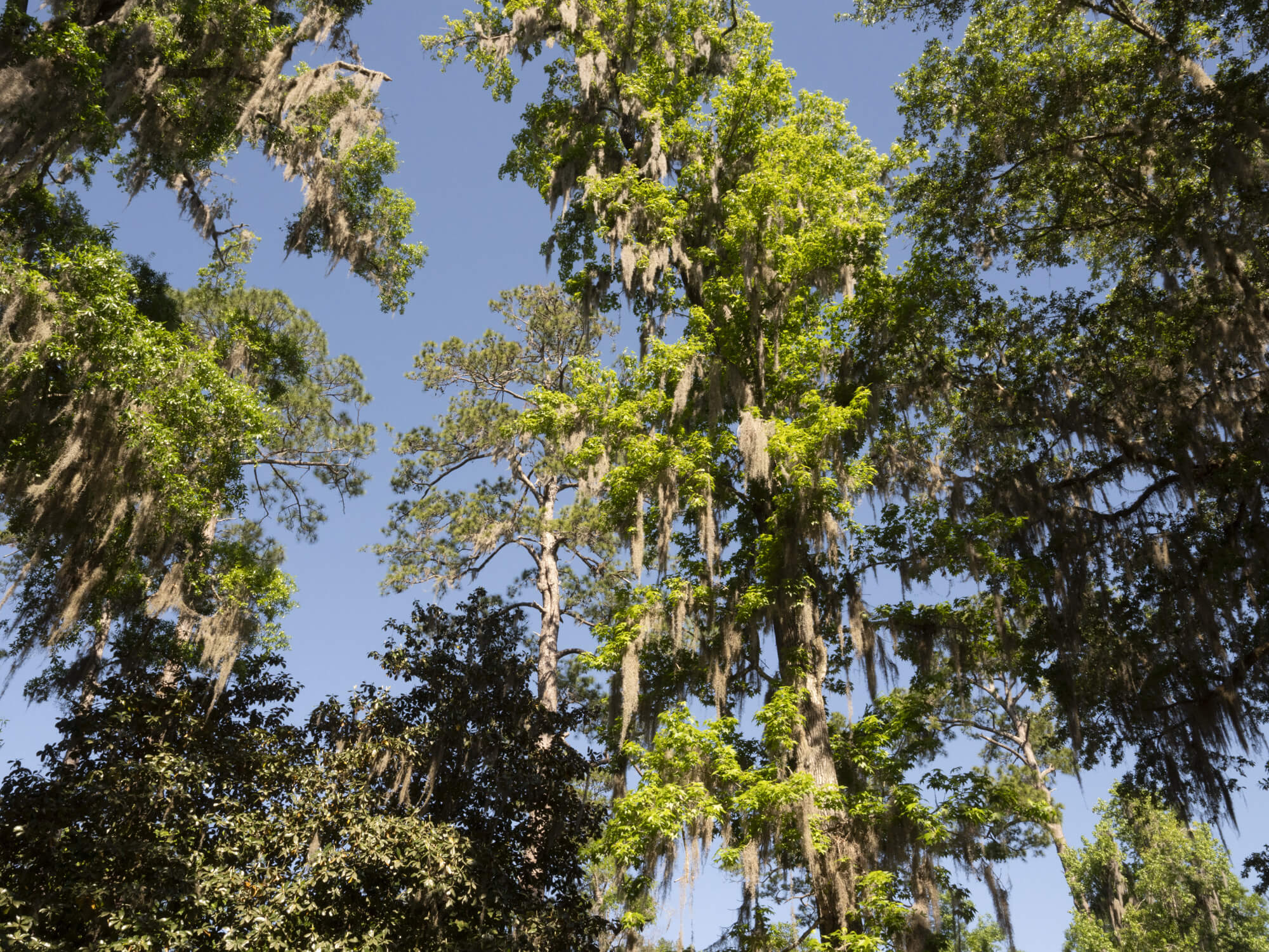
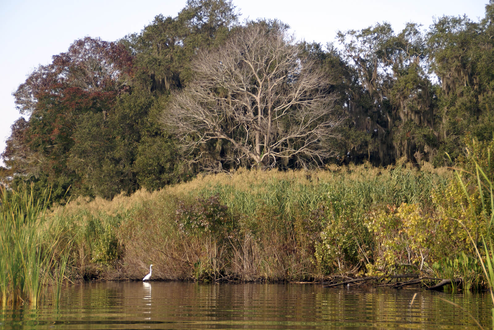
When John and William Bartram first saw Swimming Pen Creek on 6 February 1766, they would have encountered a broad, dark, slow‑moving blackwater creek opening into the head of Doctors Lake. Beyond the creek, a hardwood hammock of oak, hickory, magnolia, and hornbeam sheltered deer, black bears, foxes, bobcats, and dozens of bird species, possibly including the now-extinct Carolina parakeet and red wolf.
The creek, Swimming Pen Creek, was named by cattlemen who used it to move livestock to market even before the Civil War, as explained by historian Arch Blakey (1976). Cattle were driven from Fleming Island to the creek, where they were forced to swim into pens constructed on the opposite bank. These pens were then floated in barges across Doctors Lake and into the St. Johns River, where they were towed to stockyards in Jacksonville.
Today, Swimming Pen Creek can be easily accessed from Whitey’s Fish Camp at 2032 County Road 220, Fleming Island, FL 32003, where the Bartram Trail Marker for this site is located.
February 6, 1766
“Set out for the Doctor’s lake, which is half a mile or more broad, and 6 or 7 long; at the head of which is a large creek, about 100 or more yards broad, and near a mile and a half long, heading in a rich swamp with 3 or 4 branches, which drain it: On the west side there is a hammock of oak, hickory, magnolia, and hornbeam, and a fine spring of clear water almost big enough to turn a mill, boiling up from under the main body of the country rocks, as all the great fountains do; the soil looks rich.”