22 Beecher Springs Run
Putnam County


there are 50 acres of cleared old fields, fine oranges in the woods, and a fine spring issuing out above a mile from the river, making a stream big enough to turn a mill…
John and William Bartram
The Route
The Bartrams appear to have visited this site only on their upstream journey on the St. Johns River. On December 28, 1765, John Bartram’s party left their campsite at Johnson’s Bluff and continued up the St. Johns. They “came in a few miles” to Mount Hope and after exploring the Indian mound that gave this location its name, they continued on to Mount Royal where there was a second noteworthy Indian Mound. They likely hiked along the spring run from the River to its head (Figure 2). After completing these explorations of the area, they returned to their battoe and proceeded south to present-day Georgetown and set up camp opposite Drayton Island another 4 miles along the eastern shoreline (Figure 3).
The Site
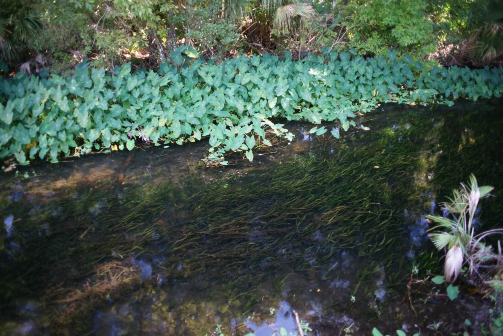
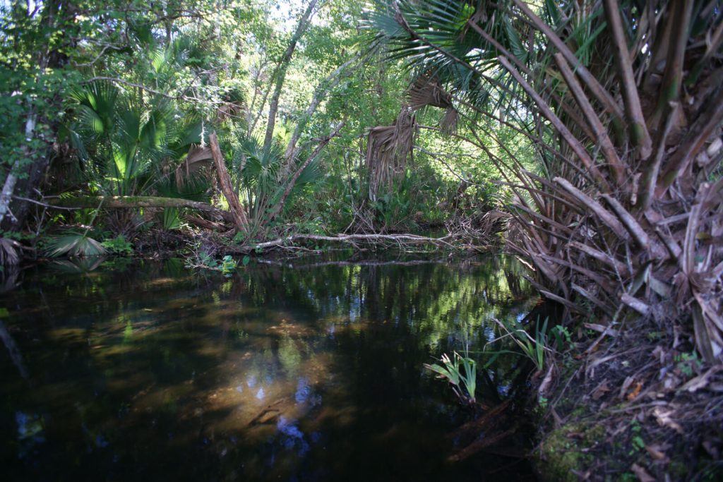
John Bartram’s Journal entry says very little about Beecher Spring, other than that its distance from the River is above a mile and that its flow was sufficient to turn a mill wheel. The spring run is 1.3 miles long, however its upper reach has been drastically altered by the construction of fish ponds at the Welaka National Fish Hatchery, on the grounds of which the Spring is located. The flow from the Spring is used to fill the ponds which then discharge back into the run which meanders through wooded wetlands to the St. Johns river near the Mount Royal Airpark Subdivision boat ramp.
No mention of the Spring is made in the Journal entry for the day (January 25, 1766) of the Bartram’s visit as they returned from up-river, despite having spent some time exploring and surveying the area around the Indian mound that day. William Bartram also fails to make any mention of the Spring in either his Travels or Report.
Two Bartram Trail Site Markers have been placed in association with Beecher Springs; one for the Spring and the other for the Spring Run. Because the Spring boil has no public access the Marker is mounted on an observation tower overlooking the Hatchery fish ponds. The tower is erected at a small roadside park which provides good parking and access to the Trail Marker. The second Trail Marker is situated on the northeast side of CR 309 where it crosses Beecher Spring Run (Figure 4). Though there is no parking area at this site, the shoulder is wide and stable. Neither of the Site Markers is reachable by water, however the mouth of the Spring Run is visible just to the east of the Mount Royal Bartram Trail Site Marker 21 on the northeast shoreline of the St Johns River.
December 28, 1765 Journal Entry
“Set out from Johnson’s Bluff; foggy morning, wind N.E. thermometer 56. Came in a few miles to Mount Hope, at the entrance of a little lake, the east and south-side of which is pine-land, reaching to Johnson’s Bluff, except a point of good swamp: Mount Hope is 50 yards long and 30 wide; near 20 foot high, composed all of fresh water snail and muscle-shells of various dimensions, the small ones drove into the large, and the broken and powdered ones into the interstices of both; these are very fertile soils as far as the shells reach, and if not the only, yet the common planting grounds of the former Florida Indians, as is proved by the numerous pieces of broken Indian pots scattered all over all these shelly bluffs, and the vestiges of the corn hills still remaining, although many pretty large live oaks, red-cedars, and palms, now grow upon them: the west wind hath a long and full stroke against this mount, which perhaps raised it to that height: Saw many alligators, and killed one; ‘tis certain that both jaws open by a joint nearly alike to both: Here and near the river’s bank grows the short-poded gleditsia, elm and black-ash, with most of the South-Carolina plants[.]
“Landed at Mount-Royal, where there are 50 acres of cleared old fields, fine oranges in the woods, and a fine spring issuing out above a mile from the river, making a stream big enough to turn a mill, on the back of which the pine-lands begin: the bank and for 50 yards back is composed of sandy soil mixed with snail-shells, which for a foot or more thick is indurated to a soft rock, from which a fine south prospect opens to the great lake (the river here is above half a mile wide) near the entrance of which is a large island[.]
“Encamped on the east-side of the river opposite to the island, from whence we heard a bear roaring in the night; we lay on a low bluff of snail-shells, amongst plenty of bitter-sweet oranges, next in goodness to the China, and here the woods are full of them; we walked back over a dry kind of rich swamp full of shells mixed with black tenacious mud, under which is a white tenacious clay or marl, and in about 400 yards came to rising ground, pretty rich, and good corn-land, then to palmetto yet blackish soil, then to whitish, in which grew pines, then savannahs and ponds, which are interspersed generally in the pine-lands in most part of the southern provinces, together with the cypress and bay-swamps, and have for the most part good feeding round their borders. This rich swamp terminated at the bend of the river where the pine-land reaches close to its banks; so that the banks of this fine river are a continual alternate change of pine-land, bluffs, cypress, swamps, marshes, and rich ash, and maple-swamps: the hammocks of live-oaks and palmettos are generally surrounded either with swamp or marsh; sometimes the deep rich swamps are 2 or 3 miles deep from the river to the pines, and reach along the river from one mile to 4, 5, or 6 at uncertain depths. These swamps are supposed to be the best rice-grounds, as neither the dry weather nor wet can hurt them so much as where there is no water in dry times, and in wet there is too much, for this is rarely overflowed but in spring-tides, and these will always keep them wet enough in the dryest seasons, especially below the great lake.”
Resources and Links
The Journal
Florida History Online “John Bartram’s Travels on the St. Johns River, 1765-1766.” May 2013.
http://www.unf.edu/floridahistoryonline/Projects/Bartram.html
http://www.unf.edu/floridahistoryonline/Bartram/December_1765/28dec1765.htm
Bartram, John. Diary of a Journey through the Carolinas, Georgia, and Florida, from July 1, 1765, to April 10, 1766, annotated by Francis Harper. Transactions of the American Philosophical Society, n.s., Vol. XXXIII, Pt. I. Philadelphia, PA, 1942.
Additional References
Florida History Online. New World in a State of Nature; British Plantations and Farms on the St. Johns River, East Florida 1763-1784. May 2013
http://www.unf.edu/floridahistoryonline/Projects/Plantations.html
Bruce, F.W. Assistant Engineer, US Army Corps of Engineers. St. Johns River to Lake Harney, Florida. 1908. The Portal to Texas History. University of North Texas. Nautical Chart of the St. Johns River.
http://texashistory.unt.edu/ark:/67531/metapth187523/m1/1/zoom/


