18 Johnsons Bluff
Putnam County


Lodged at Johnson’s Bluff, where for a mile the sandy pine-barren comes close or near the shore, and here grew plenty of what is called wild limes, which shows that they will grow in poor soil though chiefly in rich.
John and William Bartram
The Route
On December 27, 1765, John Bartram’s party, having camped at Spalding’s Lower Store, boarded their vessel and continued up-river. After rowing an estimated five miles, they stopped beneath a tall bluff which John identified as Johnson’s Spring. They left their battoe and proceeded to hike as far south as Welaka Spring, crossing a number of lesser seeps and springs along the way. After reaching Welaka Spring, the Bartrams retraced their steps to retrieve their vessel and continued to proceed down river to “lodge” to a location that John Bartram called Johnson’s Bluff. The following day, the Bartrams broke camp and proceeded “a few miles” to Mount Hope which is present-day Beecher Point (Figure 1).
The Site
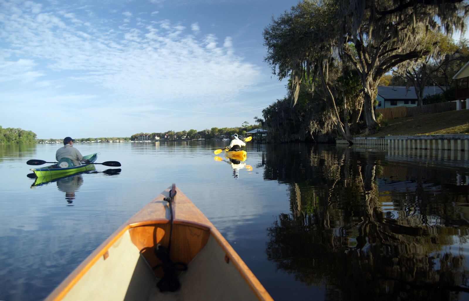
Johnson’s Bluff extends approximately one mile south along the St. Johns River from Welaka Spring to the town of Welaka. While the Bartrams may have camped anywhere along this bluff, it is quite likely that the group camped at the north end of the bluff on the shore of the Welaka Spring run (Figure 2). They had discovered the Spring at the end of their 3 to 4 mile hike south from their landing at Johnson’s Spring. After hiking back to retrieve their vessel and supplies, they rowed 2.6 miles back to the bluff and established their camp for the night. This site is 2.85 miles north along the shoreline, from Beecher’s Point (Mount Hope) which lends additional support to this location as the campsite for the night of the 27th since the Journal describes the distance between these two sites as “a few miles” (Figure 3).
The point south of Welaka Spring which is present-day Sportsman Harbor, is extensively developed and is a cross hatch of canals. The land is well below the elevation of the bluff and though presently developed as home sites it is probably only because of the volume of fill provided by the construction of the canals. Consequently, this point, though present when the Bartrams visited here, was likely passed up as a campsite in favor of the high bluff near the Spring’s run.
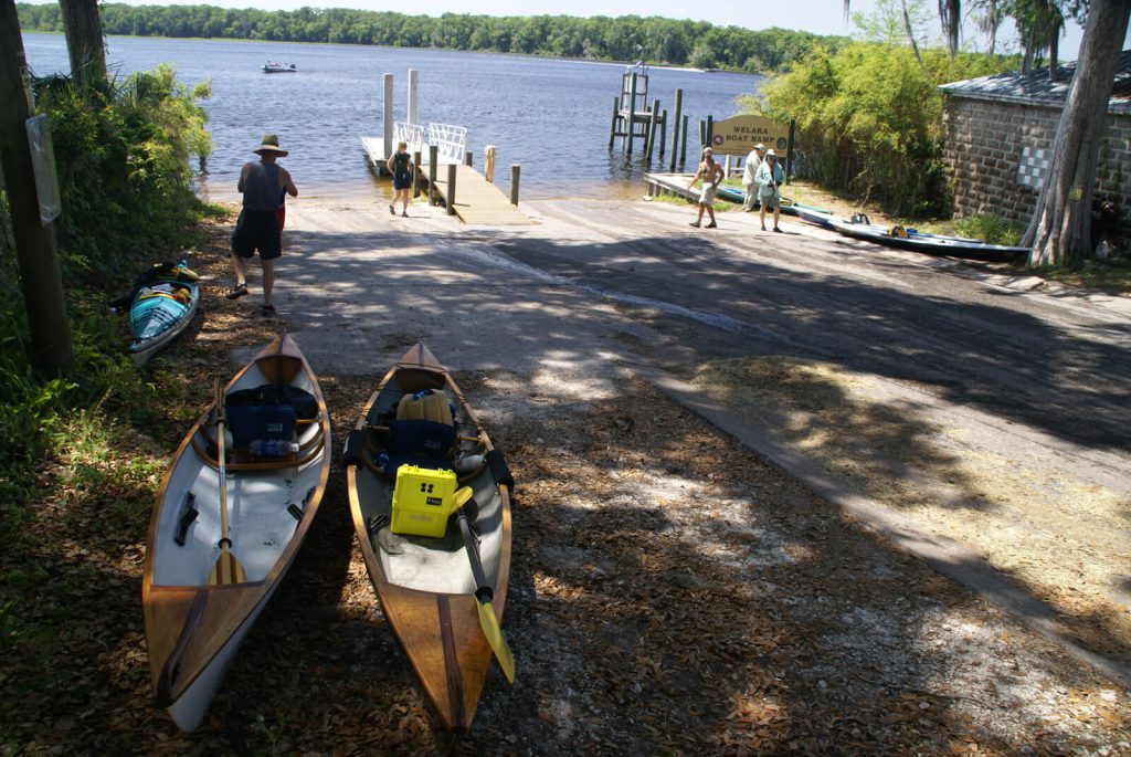
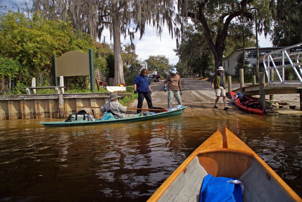
Bartram Trail Site Marker 18 is located on the east side of the River on the south shoreline of Welaka Spring Run below the bluff which was the likely site of the Bartram’s camp on the night of January 27. It is not visible from the River but can be plainly seen after entering a short distance up the Spring Run. There are two launch points that afford access to the marker by water. The first is from the north at the Shell Harbor Public Boat Ramp (2.6 miles – Figure 4) and the second is from Welaka Bryans Landing soft launch (1.8 miles) and Welaka Public Boat Ramp (1.84 miles) south of the marker (Figure 5). The marker and the bluff here is on private property presently owned by the Floridian Sports Club of Welaka. Although the site cannot be accessed, its BTS Markers can be seen from both the Floridian Club Road (a public roadway) and from the River.
December 27, 1765 Journal Entry
“Thermometer 50, fine morning. Set out from the Store, and about 5 miles above, landed on a high bluff, on the east-side of the river, at Johnson’s Spring, a run of clear and sweet water, then travelled on foot along thick woody but loamy ground, looking rich on the surface by reason of the continual falling leaves, and by the constant evergreen shade rotting to soil, as the sun never shines on the ground strong enough to exhale their virtue before their dissolution, as under deciduous trees: We crossed several small rivulets of clear sweet water, and as many narrow moist swamps. ‘Tis diverting to observe the monstrous grape-vines, 8 inches in diameter, running up the oaks 6 foot in diameter, swamp-magnolia 70 foot high strait, and a foot diameter, the great magnolia very large, liquid-amber, white swamp and live oaks, chinquapines and cluster-cherry all of an uncommon size, mixed with orange-trees, either full of fruit or scattered on the ground, where the sun can hardly shine for the green leaves at Christmas, and all in a mass of white or yellow soil 16 foot more or less above the surface of the river. We came down a steep hill 20 foot high and about 4 or 500 yards from the river, under the foot of which issued out a large fountain (big enough to turn a mill) of warm clear water of a very offensive taste, and smelt like bilge-water, or the washings of a gun-barrel; the sediment that adhered to the trees fallen therein, looked of a pale white or bluish cast, like milk and water mixed: We then crossed the swamp, and ascended and descended two hills and narrow swamps more; at the foot of the last issued out another warm spring of clear water like the other, but not so large. Then travelling alternately over hills and swamps, in all about 3 or 4 miles, came to a great cove, near a quarter of a mile from the river, out of the head of which arose a prodigious large fountain of clear water of loathsome taste, like the other two before mentioned; it directly formed a large deep creek 40 or 50 yards wide to the river, and deep enough for a large boat to swim loaded to its head, which boils up near 8 foot deep from under the shelly rocks; ‘tis full of large fish, as cats, garr, mullets, and several other kinds, and plenty of alligators. Lodged at Johnson’s Bluff, where for a mile the sandy pine-barren comes close or near the shore, and here grew plenty of what is called wild limes, which shows that they will grow in poor soil though chiefly in rich.”
December 28, 1765 Journal Entry
“Set out from Johnson’s Bluff; foggy morning, wind N.E. thermometer 56. Came in a few miles to Mount Hope, at the entrance of a little lake, the east and south-side of which is pine-land, reaching to Johnson’s Bluff, except a point of good swamp: Mount Hope is 50 yards long and 30 wide; near 20 foot high, composed all of fresh water snail and muscle-shells of various dimensions, the small ones drove into the large, and the broken and powdered ones into the interstices of both; these are very fertile soils as far as the shells reach, and if not the only, yet the common planting grounds of the former Florida Indians, as is proved by the numerous pieces of broken Indian pots scattered all over all these shelly bluffs, and the vestiges of the corn hills still remaining, although many pretty large live oaks, red-cedars, and palms, now grow upon them: the west wind hath a long and full stroke against this mount, which perhaps raised it to that height: Saw many alligators, and killed one; ‘tis certain that both jaws open by a joint nearly alike to both: Here and near the river’s bank grows the short-poded gleditsia, elm and black-ash, with most of the South-Carolina plants[.]
“Landed at Mount-Royal, where there are 50 acres of cleared old fields, fine oranges in the woods, and a fine spring issuing out above a mile from the river, making a stream big enough to turn a mill, on the back of which the pine-lands begin: the bank and for 50 yards back is composed of sandy soil mixed with snail-shells, which for a foot or more thick is indurated to a soft rock, from which a fine south prospect opens to the great lake (the river here is above half a mile wide) near the entrance of which is a large island[.]
“Encamped on the east-side of the river opposite to the island, from whence we heard a bear roaring in the night; we lay on a low bluff of snail-shells, amongst plenty of bitter-sweet oranges, next in goodness to the China, and here the woods are full of them; we walked back over a dry kind of rich swamp full of shells mixed with black tenacious mud, under which is a white tenacious clay or marl, and in about 400 yards came to rising ground, pretty rich, and good corn-land, then to palmetto yet blackish soil, then to whitish, in which grew pines, then savannahs and ponds, which are interspersed generally in the pine-lands in most part of the southern provinces, together with the cypress and bay-swamps, and have for the most part good feeding round their borders. This rich swamp terminated at the bend of the river where the pine-land reaches close to its banks; so that the banks of this fine river are a continual alternate change of pine-land, bluffs, cypress, swamps, marshes, and rich ash, and maple-swamps: the hammocks of live-oaks and palmettos are generally surrounded either with swamp or marsh; sometimes the deep rich swamps are 2 or 3 miles deep from the river to the pines, and reach along the river from one mile to 4, 5, or 6 at uncertain depths. These swamps are supposed to be the best rice-grounds, as neither the dry weather nor wet can hurt them so much as where there is no water in dry times, and in wet there is too much, for this is rarely overflowed but in spring-tides, and these will always keep them wet enough in the dryest seasons, especially below the great lake.”
Resources and Links
The Journal
Florida History Online “John Bartram’s Travels on the St. Johns River, 1765-1766.” May 2013.
http://www.unf.edu/floridahistoryonline/Projects/Bartram.html
http://www.unf.edu/floridahistoryonline/Bartram/December_1765/27dec1765.htm
http://www.unf.edu/floridahistoryonline/Bartram/December_1765/28dec1765.htm
Bartram, John. Diary of a Journey through the Carolinas, Georgia, and Florida, from July 1, 1765, to April 10, 1766, annotated by Francis Harper. Transactions of the American Philosophical Society, n.s., Vol. XXXIII, Pt. I. Philadelphia, PA, 1942.
Additional References
Bruce, F.W. Assistant Engineer, US Army Corps of Engineers. St. Johns River to Lake Harney, Florida. 1908. The Portal to Texas History. University of North Texas. Nautical Chart of the St. Johns River.
http://texashistory.unt.edu/ark:/67531/metapth187523/m1/1/zoom/

